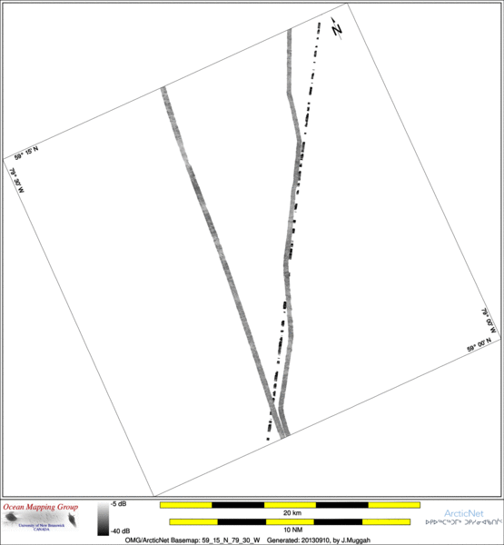
ArcticNet Basemap Series: 59_15_N_79_30_W
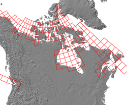
Overview Map
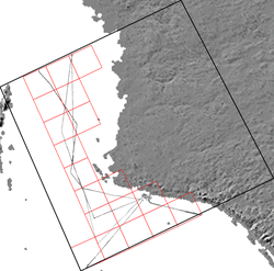
Index Map
60_00_N_80_00_W
Downloads
ESRI grid files for:
This basemap
|
|
|
|
Source data
2005_Amundsen

| 2007_Amundsen

| 2010_Amundsen

|
Survey Lines for each area
Data from source: 2005_Amundsen
LINE - /drives/hudson/disk1/data/2005_Amundsen/022_EastHudson/EM300/ss/JD272/0082_20050929_001157.ss_bp - 3022 pings included
LINE - /drives/hudson/disk1/data/2005_Amundsen/022_EastHudson/EM300/ss/JD272/0083_20050929_004158.ss_bp - 3690 pings included
LINE - /drives/hudson/disk1/data/2005_Amundsen/022_EastHudson/EM300/ss/JD272/0084_20050929_011158.ss_bp - 3483 pings included
LINE - /drives/hudson/disk1/data/2005_Amundsen/022_EastHudson/EM300/ss/JD272/0085_20050929_014158.ss_bp - 1497 pings included


Data from source: 2007_Amundsen
LINE - /drives/hudson/disk1/data/2007_Amundsen/006_Hudson_Bay/EM300/ss/JD218/0029_20070806_005804.ss_bp - 1802 pings included
LINE - /drives/hudson/disk1/data/2007_Amundsen/006_Hudson_Bay/EM300/ss/JD218/0030_20070806_012804.ss_bp - 2354 pings included
LINE - /drives/hudson/disk1/data/2007_Amundsen/006_Hudson_Bay/EM300/ss/JD218/0031_20070806_015803.ss_bp - 2304 pings included
LINE - /drives/hudson/disk1/data/2007_Amundsen/006_Hudson_Bay/EM300/ss/JD218/0032_20070806_022803.ss_bp - 1297 pings included


Data from source: 2010_Amundsen
LINE - /drives/viscount/disk1/data/2010_Amundsen/003_fox_channel/EM302/ss/JD192/0046_20100711_112625.ss_MS_bp - 2478 pings included
LINE - /drives/viscount/disk1/data/2010_Amundsen/003_fox_channel/EM302/ss/JD192/0047_20100711_122625.ss_MS_bp - 7886 pings included
LINE - /drives/viscount/disk1/data/2010_Amundsen/003_fox_channel/EM302/ss/JD192/0048_20100711_132624.ss_MS_bp - 1998 pings included
Created: 20140319 by J.Muggah


