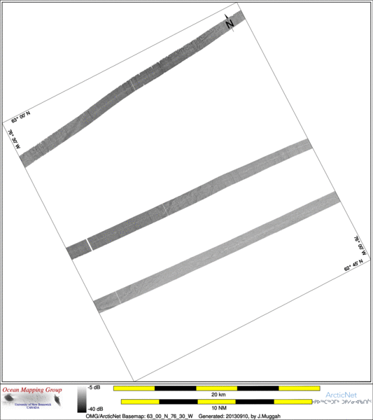
ArcticNet Basemap Series: 63_00_N_76_30_W
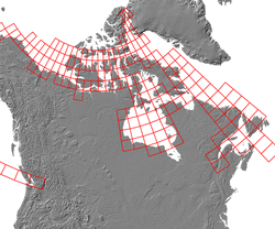
Overview Map
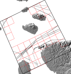
Index Map
64_00_N_80_00_W
Downloads
ESRI grid files for:
This basemap
|
|
|
|
Source data
2004_Amundsen

| 2005_Amundsen

| 2010_Amundsen

|
Survey Lines for each area
Data from source: 2004_Amundsen
LINE - /drives/hudson/disk1/data/2004_Amundsen/Leg9/EM300/ss/JD237/0556_20040824_000459.ss_bp - 1713 pings included
LINE - /drives/hudson/disk1/data/2004_Amundsen/Leg9/EM300/ss/JD237/0557_20040824_010459.ss_bp - 550 pings included
LINE - /drives/hudson/disk1/data/2004_Amundsen/Leg9/EM300/ss/JD237/0558_20040824_012305.ss_bp - 698 pings included


Data from source: 2005_Amundsen
LINE - /drives/hudson/disk1/data/2005_Amundsen/021_HudsonStrait/EM300/ss/JD267/0089_20050924_235210.ss_bp - 906 pings included
LINE - /drives/hudson/disk1/data/2005_Amundsen/021_HudsonStrait/EM300/ss/JD268/0090_20050925_002210.ss_bp - 398 pings included
LINE - /drives/hudson/disk1/data/2005_Amundsen/026_HudsonBay_2/EM300/ss/JD290/0112_20051017_213138.ss_bp - 253 pings included
LINE - /drives/hudson/disk1/data/2005_Amundsen/026_HudsonBay_2/EM300/ss/JD290/0113_20051017_220138.ss_bp - 862 pings included
LINE - /drives/hudson/disk1/data/2005_Amundsen/026_HudsonBay_2/EM300/ss/JD290/0114_20051017_223138.ss_bp - 893 pings included
LINE - /drives/hudson/disk1/data/2005_Amundsen/026_HudsonBay_2/EM300/ss/JD290/0115_20051017_230138.ss_bp - 198 pings included


Data from source: 2010_Amundsen
LINE - /drives/viscount/disk1/data/2010_Amundsen/006_Nelson/EM302/ss/JD212/0112_20100731_140718.ss_MS_bp - 1051 pings included
LINE - /drives/viscount/disk1/data/2010_Amundsen/006_Nelson/EM302/ss/JD212/0113_20100731_150718.ss_MS_bp - 2398 pings included
Created: 20140319 by J.Muggah


