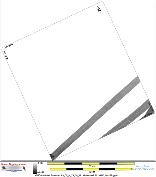
ArcticNet Basemap Series: 63_00_N_79_00_W
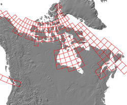
Overview Map
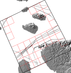
Index Map
64_00_N_80_00_W
Downloads
ESRI grid files for:
This basemap
|
|
|
|
Source data
2004_Amundsen

| 2005_Amundsen

| 2010_Amundsen

|
Survey Lines for each area
Data from source: 2004_Amundsen
LINE - /drives/hudson/disk1/data/2004_Amundsen/Leg9/EM300/ss/JD237/0562_20040824_051001.ss_bp - 1292 pings included
LINE - /drives/hudson/disk1/data/2004_Amundsen/Leg9/EM300/ss/JD237/0563_20040824_061001.ss_bp - 899 pings included


Data from source: 2005_Amundsen
LINE - /drives/hudson/disk1/data/2005_Amundsen/022_EastHudson/EM300/ss/JD270/0017_20050927_045940.ss_bp - 744 pings included
LINE - /drives/hudson/disk1/data/2005_Amundsen/022_EastHudson/EM300/ss/JD270/0018_20050927_052940.ss_bp - 965 pings included
LINE - /drives/hudson/disk1/data/2005_Amundsen/022_EastHudson/EM300/ss/JD270/0019_20050927_055940.ss_bp - 835 pings included
LINE - /drives/hudson/disk1/data/2005_Amundsen/022_EastHudson/EM300/ss/JD270/0020_20050927_062940.ss_bp - 834 pings included
LINE - /drives/hudson/disk1/data/2005_Amundsen/022_EastHudson/EM300/ss/JD270/0021_20050927_065940.ss_bp - 898 pings included
LINE - /drives/hudson/disk1/data/2005_Amundsen/022_EastHudson/EM300/ss/JD270/0022_20050927_072940.ss_bp - 831 pings included
LINE - /drives/hudson/disk1/data/2005_Amundsen/026_HudsonBay_2/EM300/ss/JD290/0103_20051017_170138.ss_bp - 581 pings included
LINE - /drives/hudson/disk1/data/2005_Amundsen/026_HudsonBay_2/EM300/ss/JD290/0104_20051017_173138.ss_bp - 837 pings included
LINE - /drives/hudson/disk1/data/2005_Amundsen/026_HudsonBay_2/EM300/ss/JD290/0105_20051017_180138.ss_bp - 198 pings included


Data from source: 2010_Amundsen
LINE - /drives/viscount/disk1/data/2010_Amundsen/006_Nelson/EM302/ss/JD212/0108_20100731_100718.ss_MS_bp - 1228 pings included
LINE - /drives/viscount/disk1/data/2010_Amundsen/006_Nelson/EM302/ss/JD212/0109_20100731_110719.ss_MS_bp - 698 pings included
Created: 20140319 by J.Muggah


