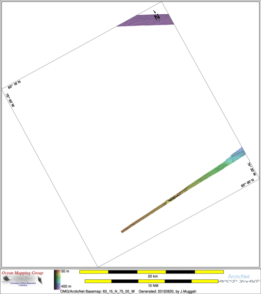
ArcticNet Basemap Series: 63_15_N_75_00_W
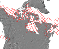
Overview Map
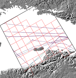
Index Map
64_00_N_76_00_W
Downloads
ESRI grid files for:
This basemap
|
|
|
|
Source data
2005_Amundsen

| 2006_Amundsen

|
Survey Lines for each area
Sat Aug 25 03:40:23 ADT 2012 Making combo map
Data from source: 2005_Amundsen
LINE - /drives/hudson/disk1/data/2005_Amundsen/026_HudsonBay_2/EM300/merged/JD291/0118_20051018_003138.merged - 1224 pings included
LINE - /drives/hudson/disk1/data/2005_Amundsen/026_HudsonBay_2/EM300/merged/JD291/0119_20051018_010138.merged - 2288 pings included
LINE - /drives/hudson/disk1/data/2005_Amundsen/026_HudsonBay_2/EM300/merged/JD291/0120_20051018_013138.merged - 1403 pings included
LINE - /drives/hudson/disk1/data/2005_Amundsen/026_HudsonBay_2/EM300/merged/JD291/0121_20051018_020138.merged - 201 pings included
LINE - /drives/hudson/disk1/data/2005_Amundsen/026_HudsonBay_2/EM300/merged/JD291/0122_20051018_023138.merged - 201 pings included
LINE - /drives/hudson/disk1/data/2005_Amundsen/027_Hudson_strait_2/EM300/merged/JD291/0001_20051018_045159.merged - 201 pings included
LINE - /drives/hudson/disk1/data/2005_Amundsen/027_Hudson_strait_2/EM300/merged/JD291/0002_20051018_052159.merged - 201 pings included


Data from source: 2006_Amundsen
LINE - /drives/hudson/disk1/data/2006_Amundsen/025_Hudson_Strait/EM300/merged/JD300/0006_20061027_203100.merged - 1448 pings included
LINE - /drives/hudson/disk1/data/2006_Amundsen/025_Hudson_Strait/EM300/merged/JD300/0007_20061027_213059.merged - 1101 pings included
Created: 20140213 by J.Muggah


