|
|
|
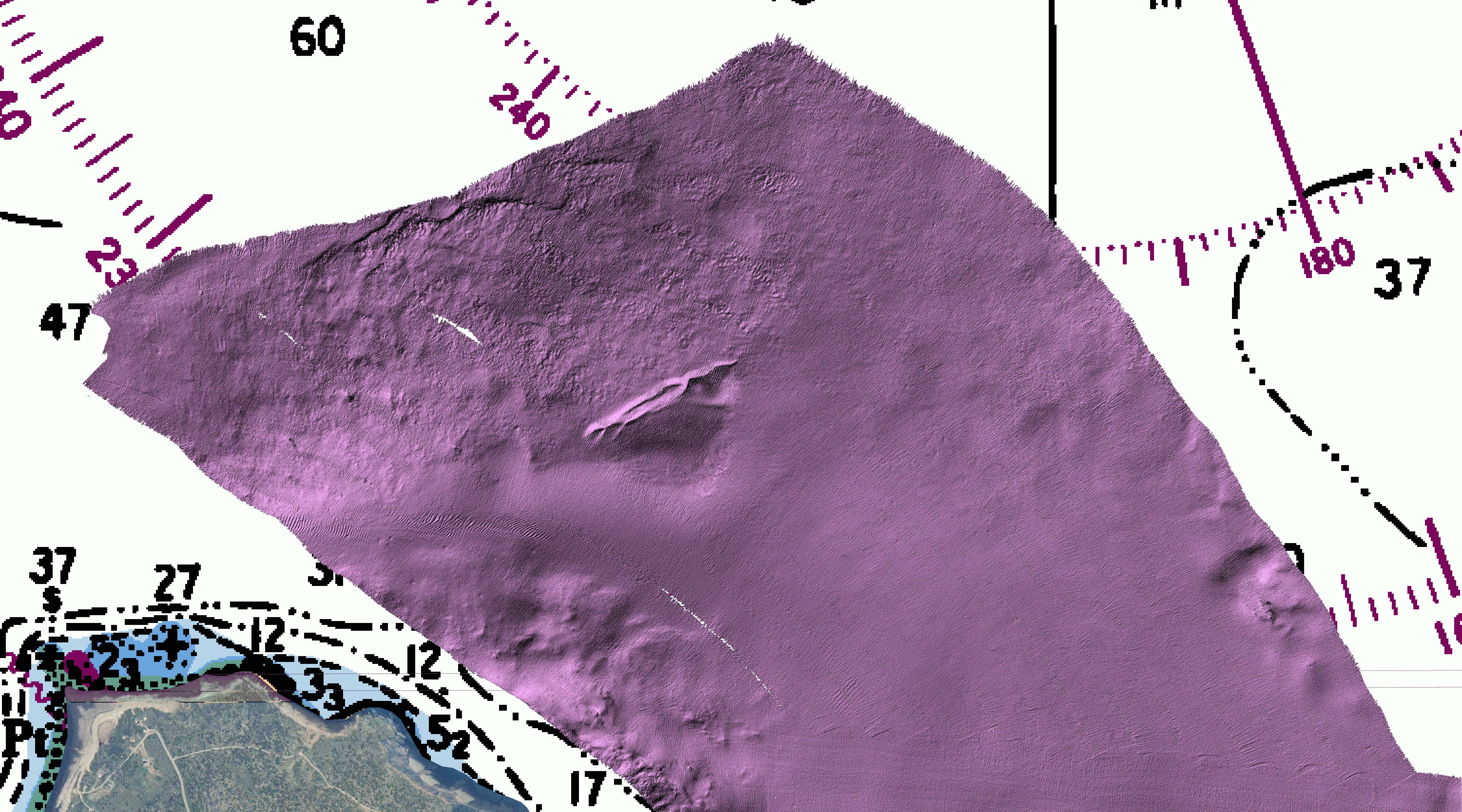
Bathymetry
(~5.09MB) |
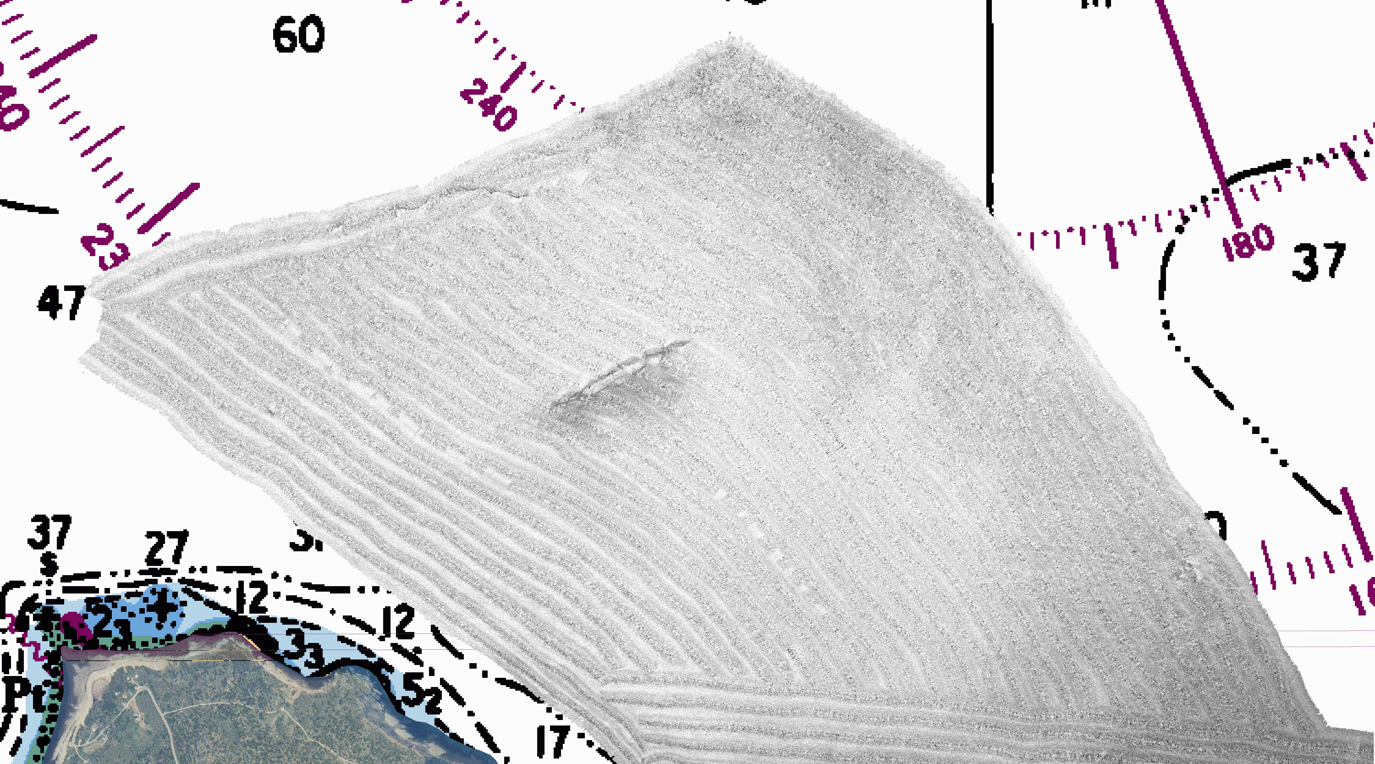
Multibeam
Backscatter (300 kHz) (~4.65MB) |
|
|
|
|
Bathymetry
(~5.09MB) |
Multibeam
Backscatter (300 kHz) (~4.65MB) |