|
|
|
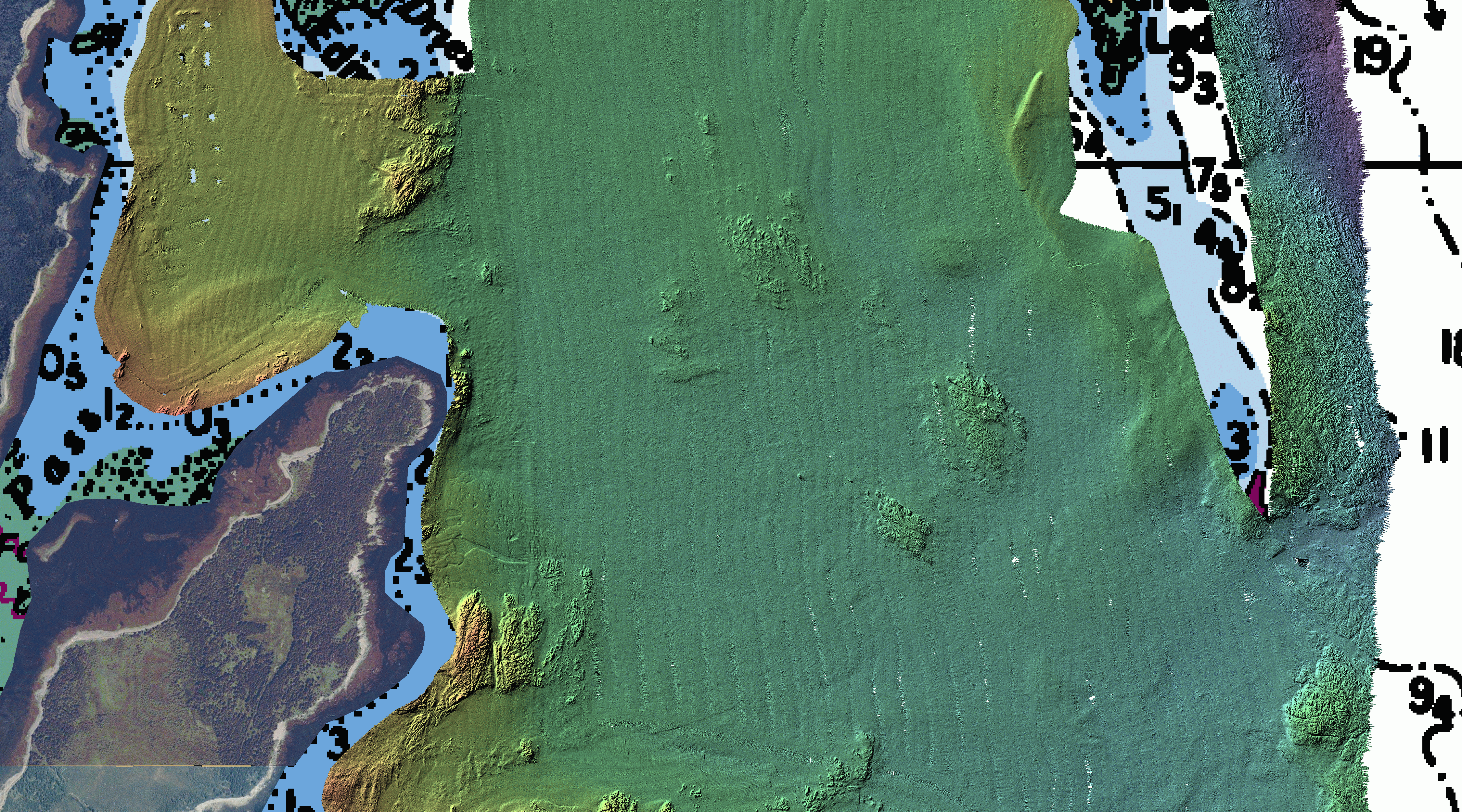
Bathymetry
(~6.98MB) |
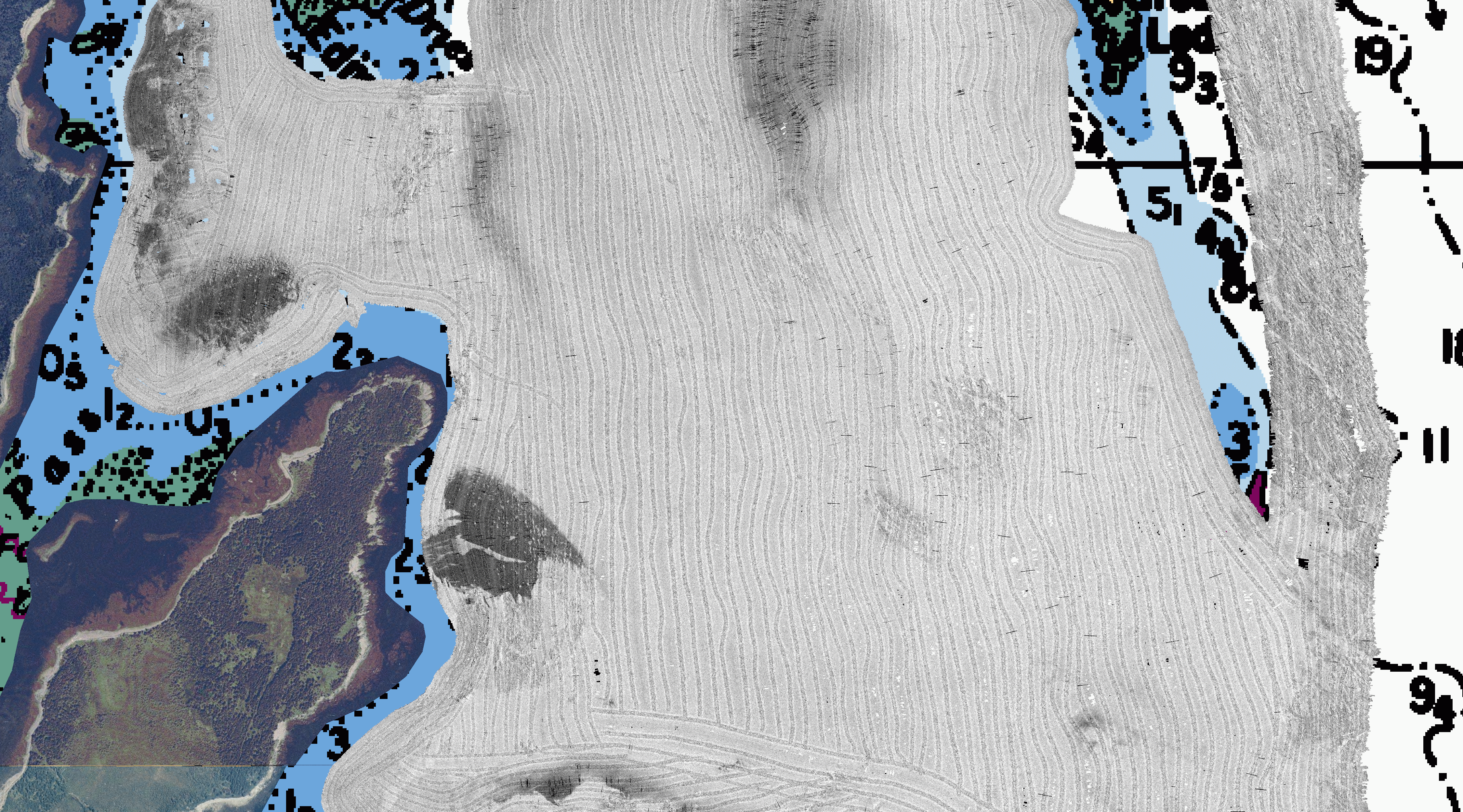
Multibeam
Backscatter (300 kHz) (~7.78MB) |
|
|
|
|
Bathymetry
(~6.98MB) |
Multibeam
Backscatter (300 kHz) (~7.78MB) |