| John E. Hughes Clarke Ocean Mapping Group Dept. Geodesy and Geomatics Engineering University of New Brunswick, CANADA |
Mel Broadus and Rebecca Martinolich Systems Engineering Division U.S. Naval Oceanographic Office Stennis Space Center, MS, USA |
|
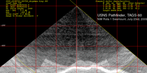
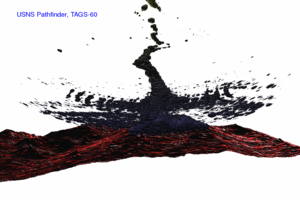
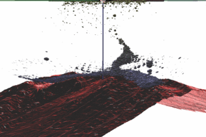
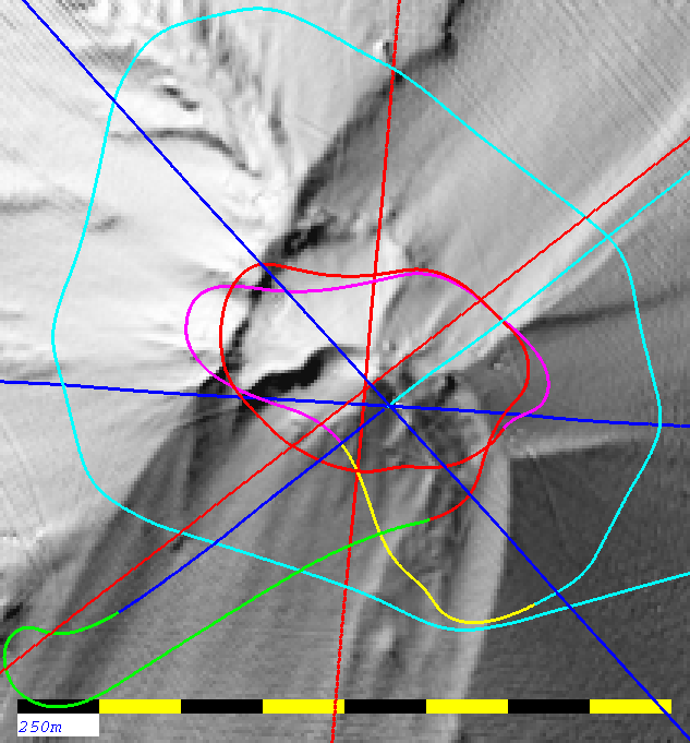
The surrounding figures
illustrate the preliminary highlights of the vent imaging.
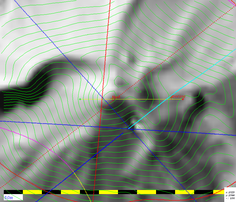
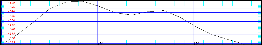
Coordinates of the base of the plume: 144.775463° N 14.600829° E ( 14° 36.0497' N -- 144° 46.5278' E) It appears that there is a submerged mooring located due east of the summit. It consists of an upper unit (flotation?) suspended ~110m off the seabed and a mid-mooring object (instrument package?) that sits about 60m off the seabed. The dual, vertically aligned targets were found on all 5 passes over the summit in the same location (2 on JD202 and 3 on JD204), suggesting a permanent rather than an ephemeral object. Coordinates of the apparent mooring: 144.776893° N 14.600853° E (14° 36.0512' N -- 144° 46.6136' E) Detailed
Imagery of Peak including locations of vent and mooring
|
 |
 |
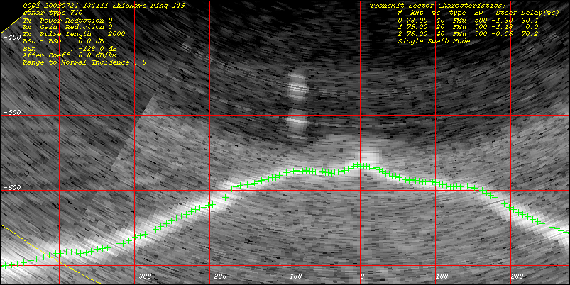
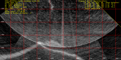
| EM710 detail
over NW Rota 1 peak (single FM swath) |
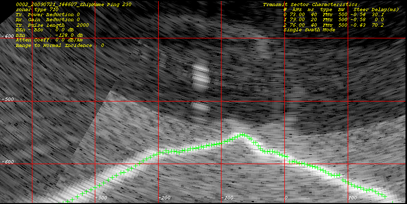
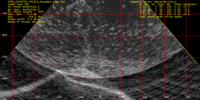
EM122 detail
over NW Rota 1 peak (dual CW swath) |