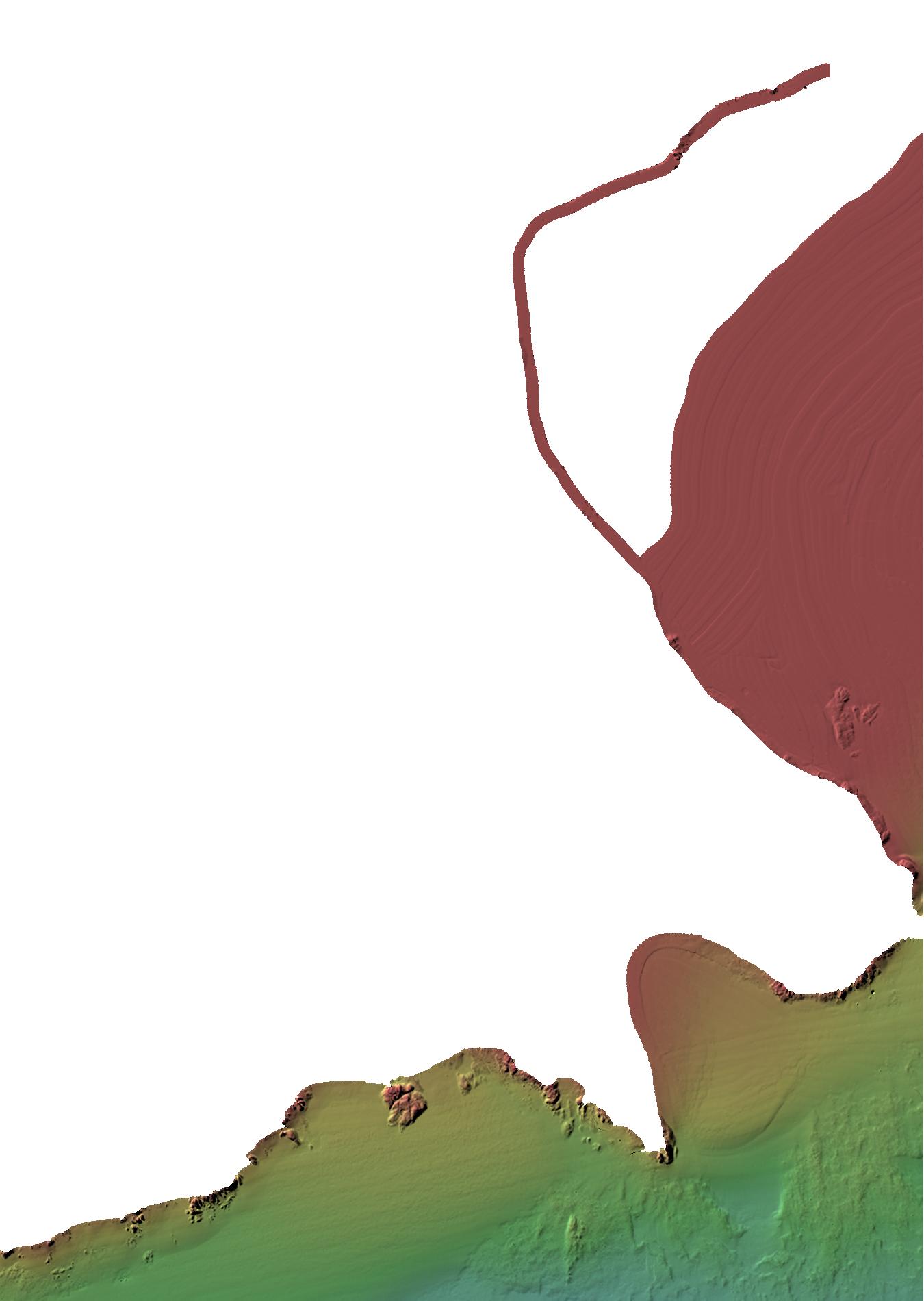
Map Sheet 36
Bathymetry
Downloads:
- Geotiff
- Geotif gridded using a Mercator Projection
- Tif
/ Tfw
- Tif and Tif World File created using NB Double Stereo Projection
- XYZ
- ASCII .XYZ file in format: Latitude Longitude Depth
- ESRI Grid
- ESRI Grid created using NB Double Stereo Projection
Data Acquired from the Following Surveys: (SurveyName Year Day)
MusQ_EM3K 2001 may01
MusQ_EM3K 2001 may02
MusQ_EM3K 2001 may03
MusQ_EM3K 2001 may04
MusQ_EM3K 2001 may07
MusQ_EM3K 2001 may08
MusQ_EM3K 2001 may09
MusQ_EM3K 2001 may11
MusQ_EM3K 2001 may12