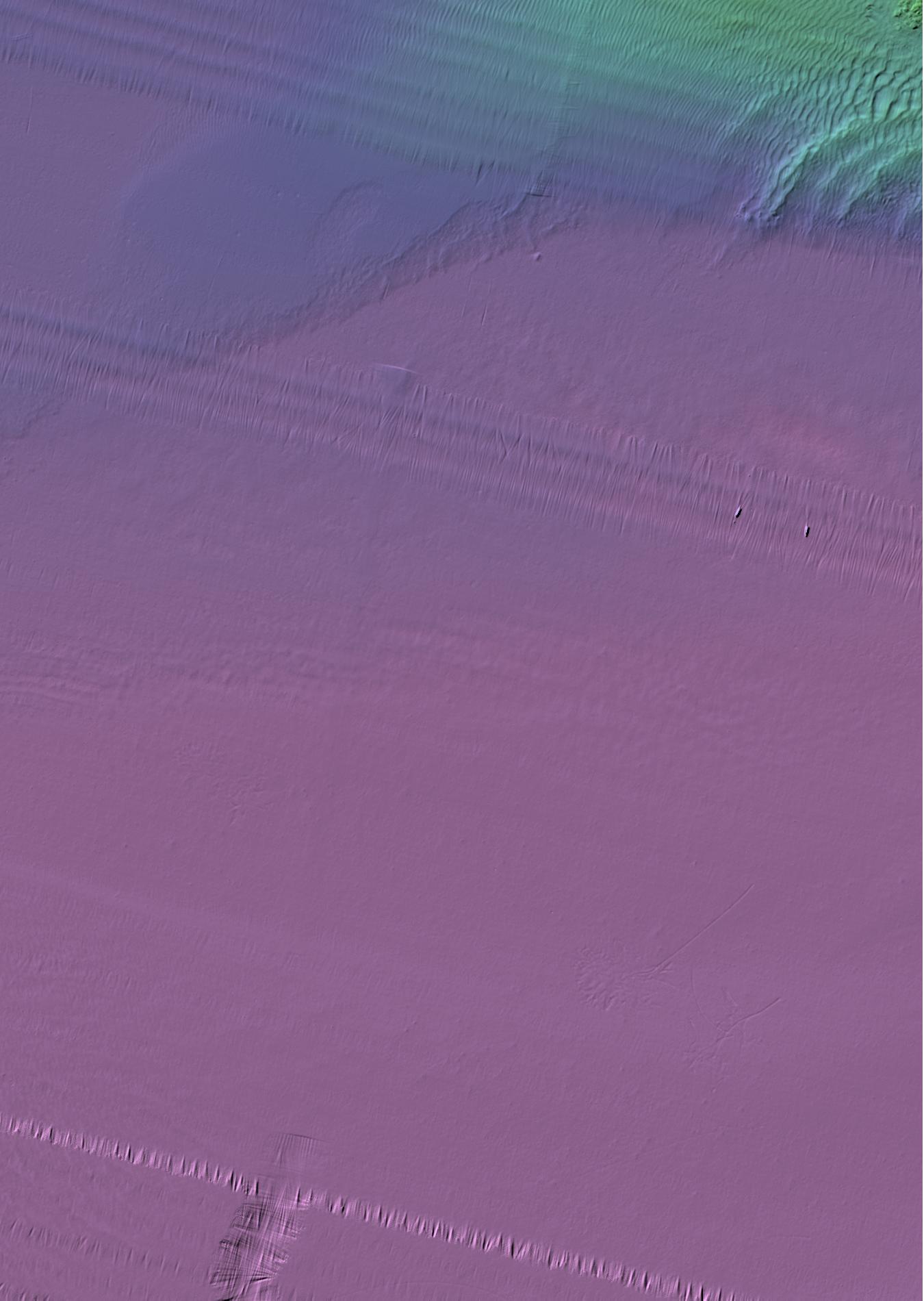
Map Sheet 62
Bathymetry
Downloads:
- Geotiff
- Geotif gridded using a Mercator Projection
- Tif
/ Tfw
- Tif and Tif World File created using NB Double Stereo Projection
- XYZ
- ASCII .XYZ file in format: Latitude Longitude Depth
- ESRI Grid
- ESRI Grid created using NB Double Stereo Projection
Data Acquired from the Following Surveys: (SurveyName Year Day)
Saint_John_Dumpsite_GSC_Surveys 2000 30Apr
Saint_John_Dumpsite_GSC_Surveys 2001 02Nov
Saint_John_Dumpsite_GSC_Surveys 2000 JDXXX
Saint_John_Dumpsite_GSC_Surveys 2000 JDYYY
Saint_John_Dumpsite_GSC_Surveys_2 2001 13May
Saint_John_Dumpsite_GSC_Surveys_2 2001 25Apr
Saint_John_Dumpsite_GSC_Surveys_2 2001 26Apr
Saint_John_Dumpsite_GSC_Surveys_2 2001 27Apr
Saint_John_Dumpsite_GSC_Surveys_2 2001 13May
Saint_John_Dumpsite_GSC_Surveys_2 2001 25Apr
Saint_John_Dumpsite_GSC_Surveys_2 2001 just26_27APR01