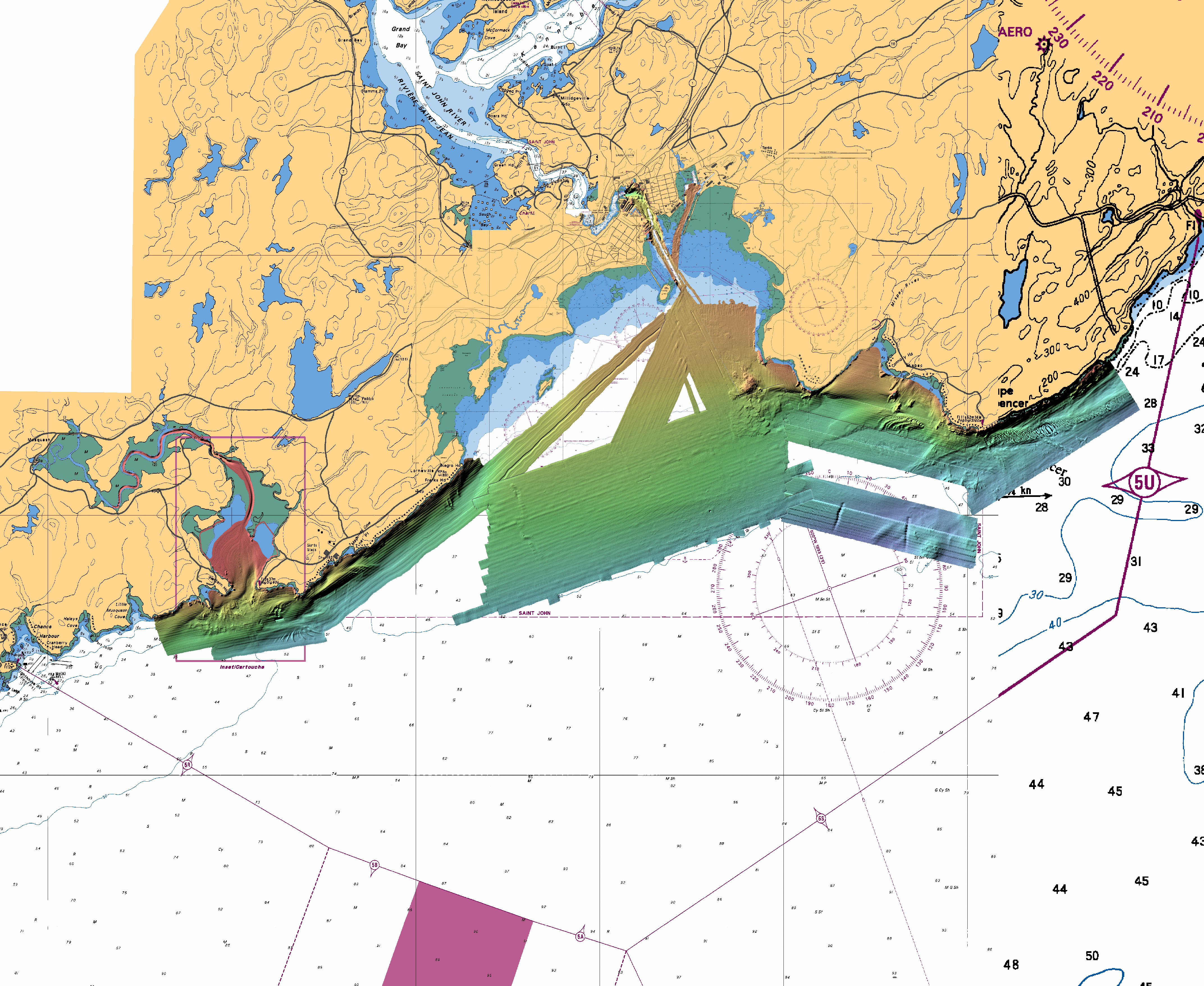
Within this webpage you will find a compilation of mulitbeam data
for the Saint John Harbour
approaches. Saint John is in southern New Brunswick, Canada and is
located on the Bay of Fundy.
Available for download are multibeam bathymetry and backscatter in
numerous formats.
The data on this website is not a final product and is in a constant
state of change and adjustment. Tides have been applied to some
datasets, but all the data will eventually be processed with either
observed or predicted tides. For the data that does have tides applied
to it, the datum is Chart Datum. A file containing simple
ascii 'Long Lat Depth' for the entire area can be downloaded here (12 mb) at 10m resolution.
Some recently found data that is shown in the image below and included in the ascii data file, is not included in the smaller map sheets to the right.