John E. Hughes Clarke,
Anya
Duxfield and Beth-Anne Martin
Ocean Mapping Group
University of New Brunswick
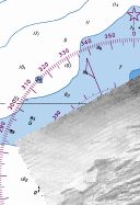
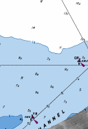
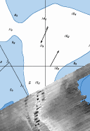
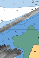
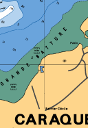
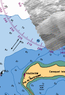
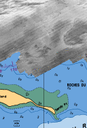
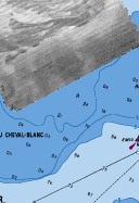
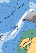
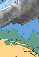
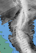
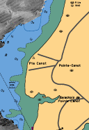
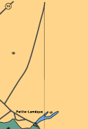
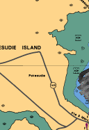
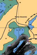
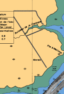
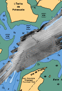
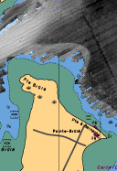
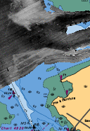
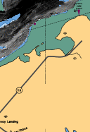
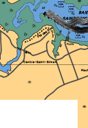
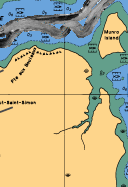
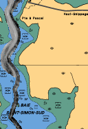
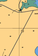
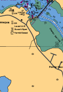
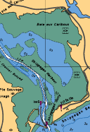
The following graphical index allows one to extract bathymetric
and backscatter image and metadata for the 2003 Shippagan Bay survey.
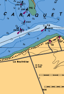
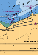
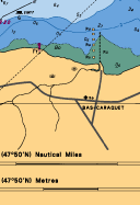
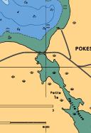
The survey area was broken up into a series of standard map sheets.
Each sheet is offset from its neighbours by 2 minutes in Longitude and
2 minutes in Latitude. Each map sheet represents a Mercator
Projection and is exactly 2575m wide by 3750m high (pixel size is
correct at latitude 45 deg 56 min N). The map sheet boundaries
deliberately overlap (by about 75m E-W and 55m N-S).
|
|
|
|
|
|
|
|
|
|
|
|
|
|
|
|
|
|
|
|
|
|
|
|
|
|
|
|
|
|
||
|
|
|
|
|
|