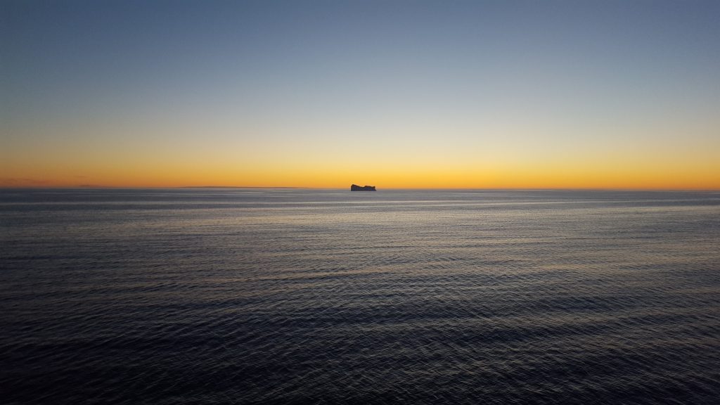
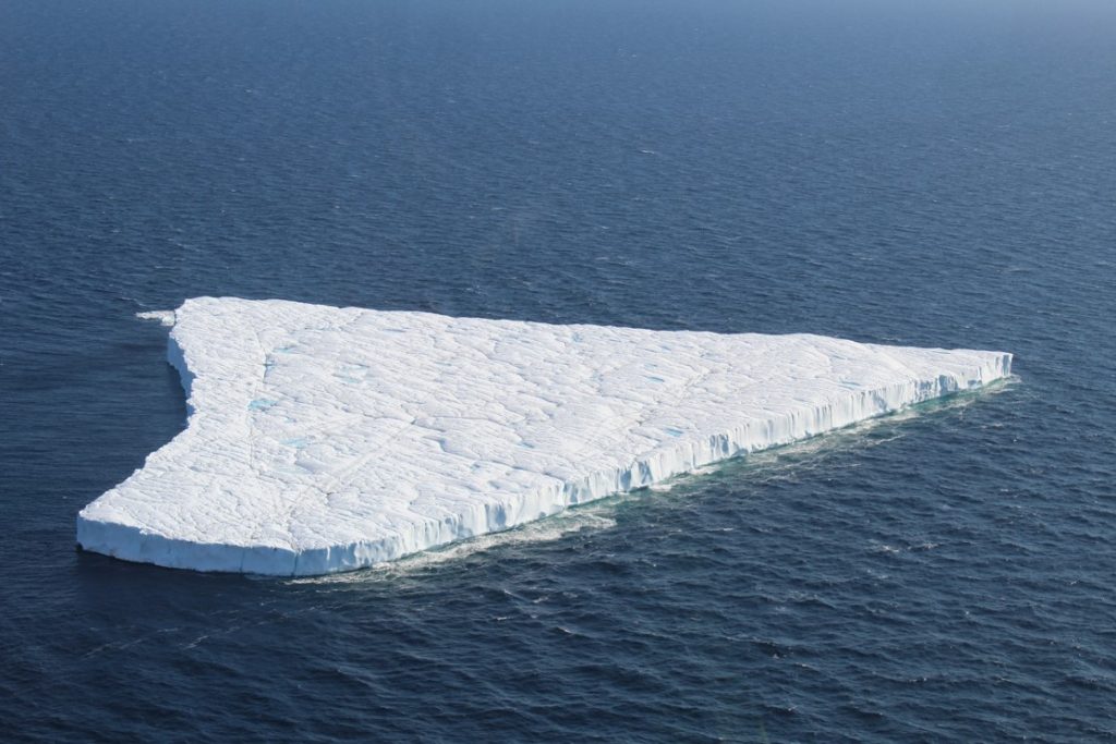
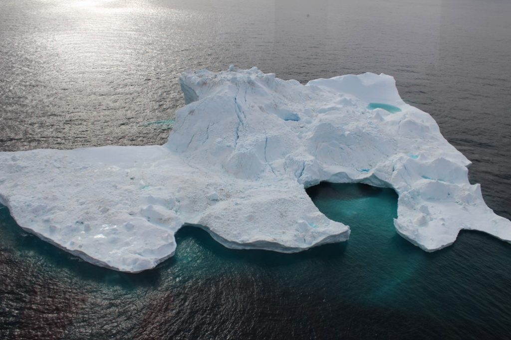
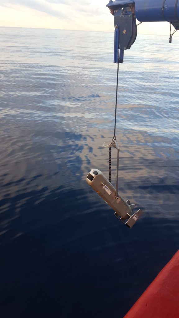
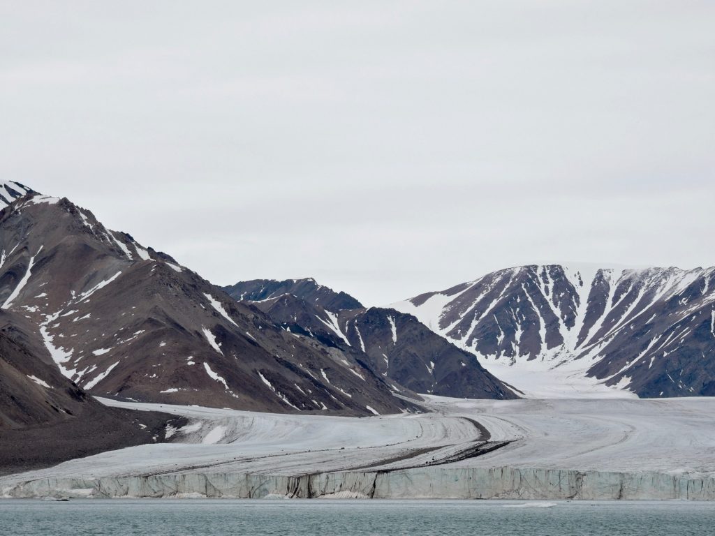
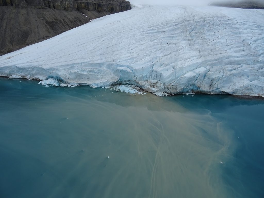
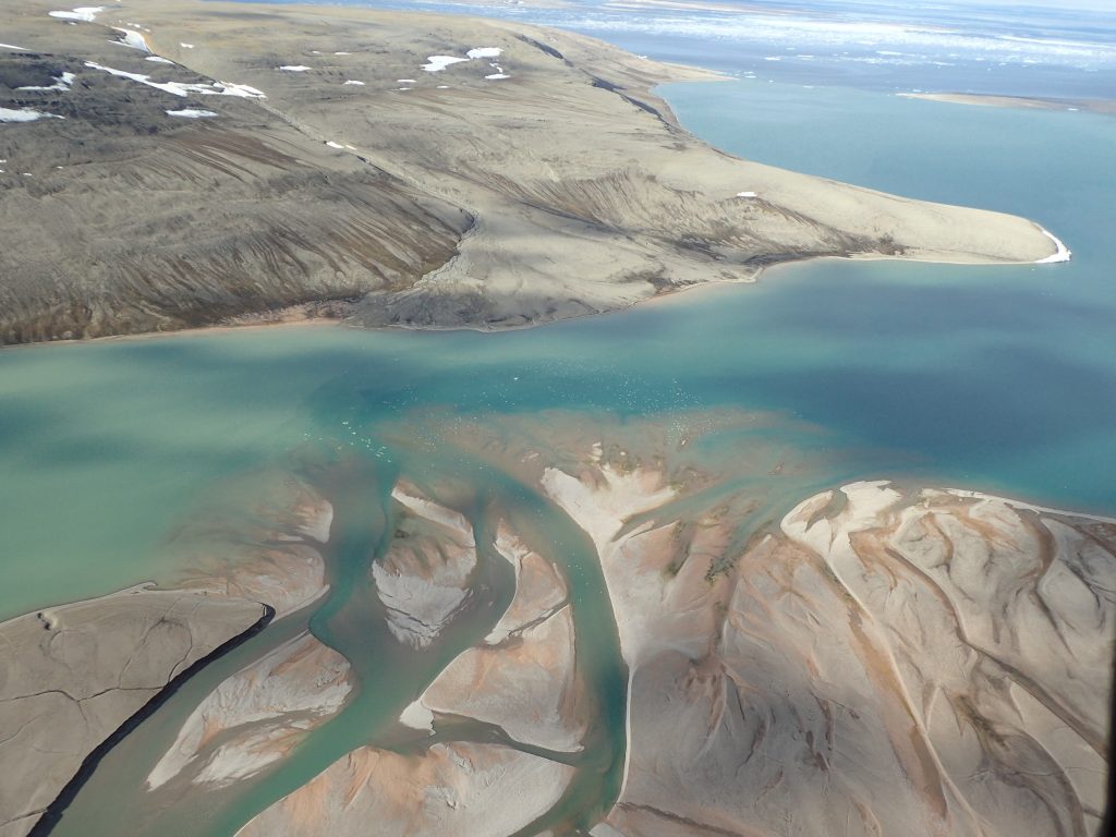
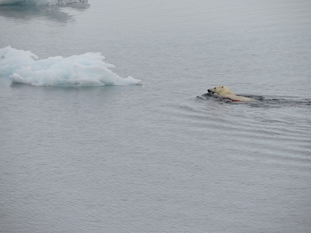
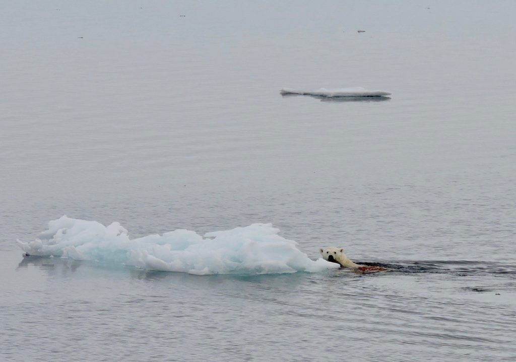
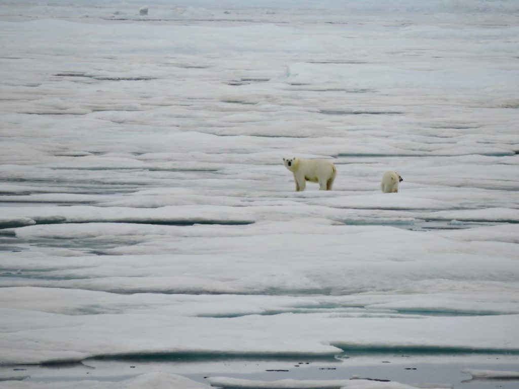
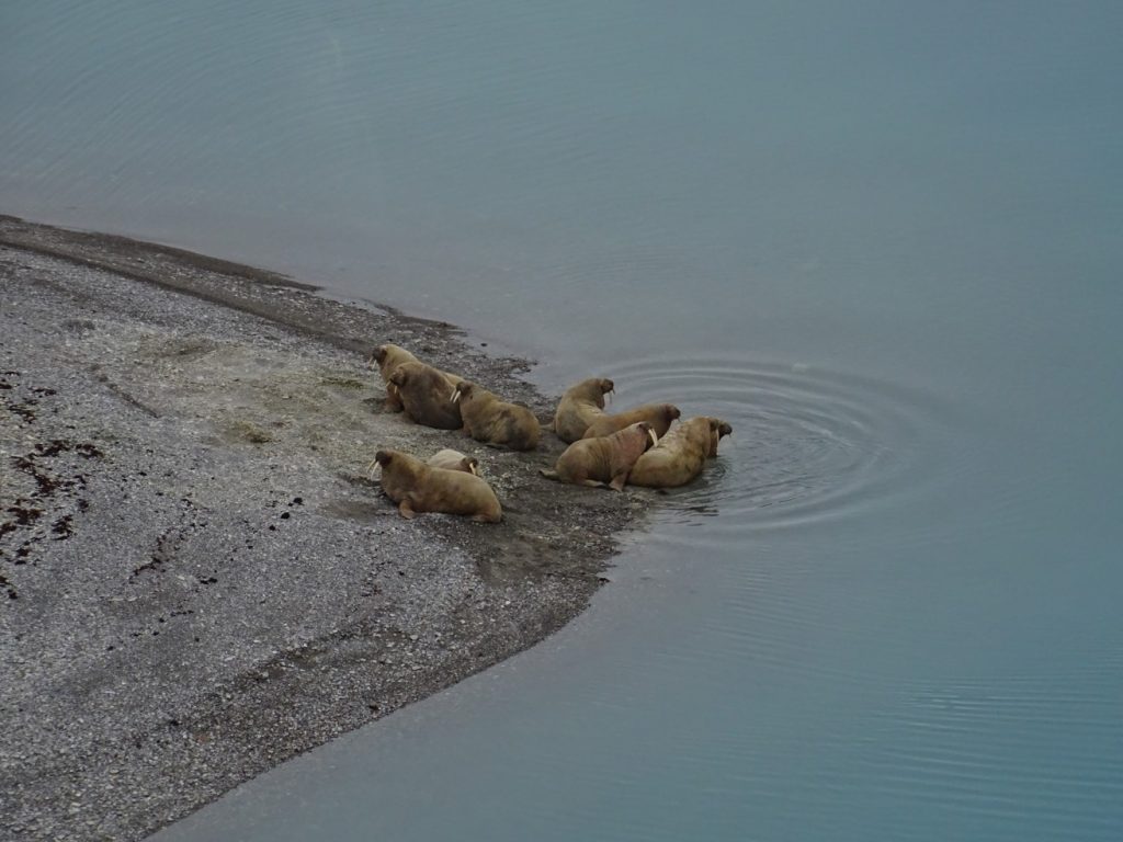
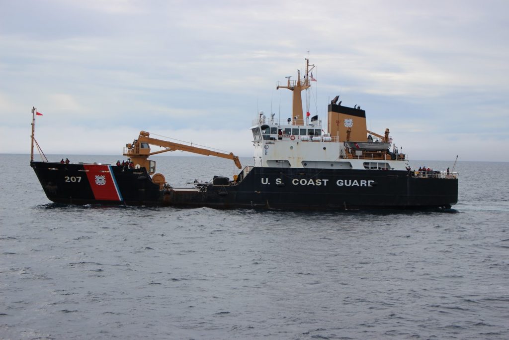
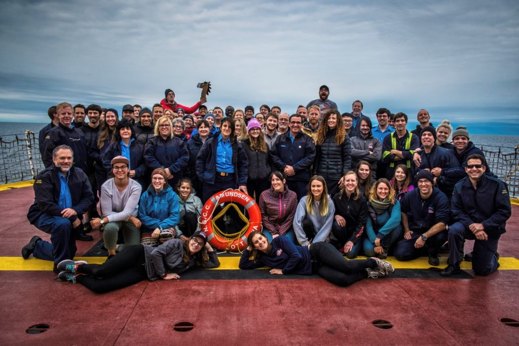
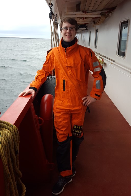
I recently had the pleasure of spending five week aboard the CCGS Amundsen as part of ArcticNet’s 2017 Expedition. I joined the Amundsen in Iqualit on July 13 and spent the next five weeks onboard. The Amundsen, Canada’s Arctic research icebreaker, has onboard a Kongsberg EM302 Multibeam and Kundsen Chirp Sub-bottom profiler. These two instruments were used 24/7 while the ship was in motion allowing many areas in Canada’s largely mysterious Arctic waters to be mapped for the first time. For the first three weeks of the journey the focus was on Baffin Bay where depths can exceed over 2000m. It was during these first three weeks that we reached our maximum latitude 78.3°N in the Kane Basin. The final two weeks took the Amundsen through parts of Canada’s Northwest Passages including Pond Inlet, Lancaster Sound, Peel Sound, Larsen Sound, the Queen Maud Gulf, the Gulf of Boothia, and Foxe Basin. While transiting through Larsen Sound (twice) and later the Gulf of Boothia a significant amount of thick first year with scatter flows of multi-year ice was encountered. While the Amundsen was showing her might breaking these 2m+ thick flows wildlife could often be spotted from her decks. Whales, polar bears, seals, and other animals were common sights. Other highlights included surveying in a small glacial bay on the Southeastern coast of Ellesmere Island and transits through two very narrow passages: Bellot Strait and Fury & Hecla Strait. Overall I couldn’t think of a better way to celebrate Canada’s 150th than seeing parts of our vast country so few get to experience. This expedition also allowed me to get experience doing hydrographic surveying and I cannot wait to see where this field brings me in the future.