Software implementation includes the possibility of creating multiples sectors (instead of the 3 sectors to each side that was used before), allowing the recover of the entire area (inner and outer launch angles limits are defined) choosen by the user. Therefore, the corrected outer traces now can be included during classification processes. Figures below show the 3 fixed sectors and the new option with multiple sectors.
Fixed sectors
Multiple sectors
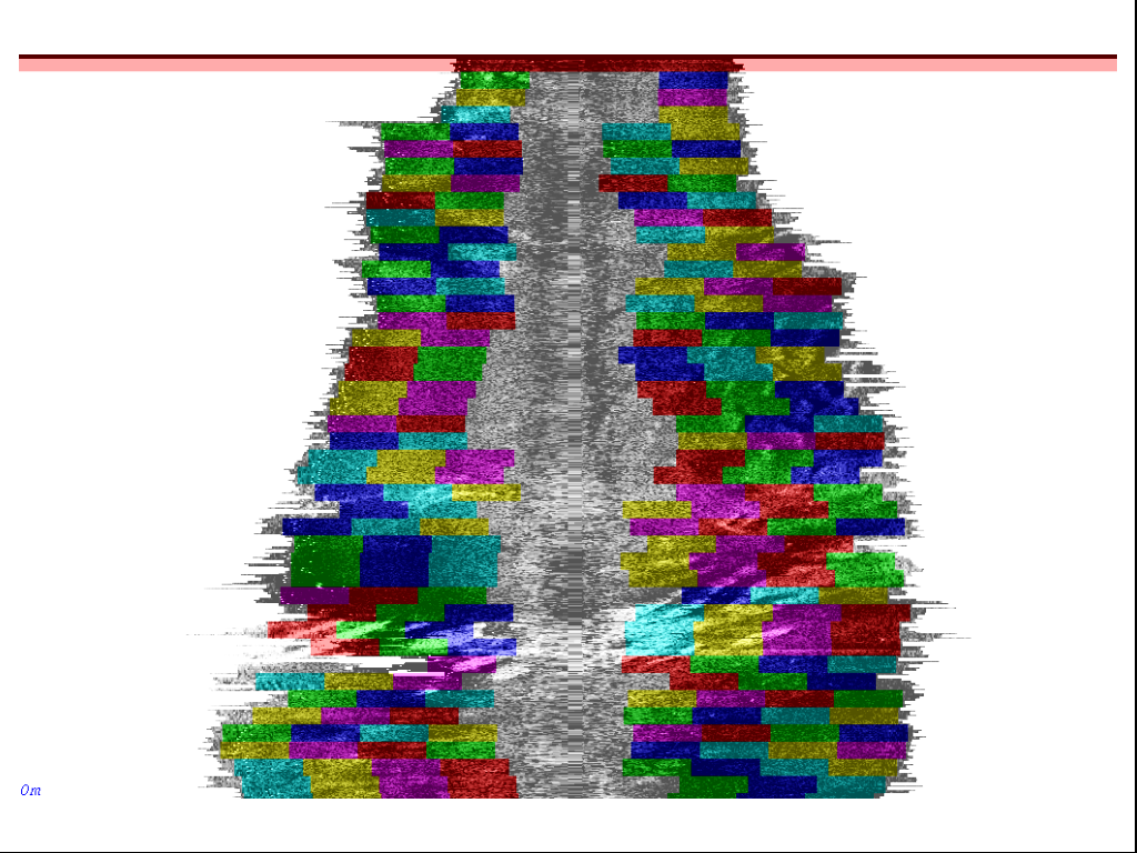
Multiple sectors function detects the edge of outer traces and draw the box-sectors inboard until the inner limit (avoiding noisy region). Therefore, they adjust properly to depth variations, which causes swath recovery oscilations. The following picture illustrates classification boxes of size 16-pings (alongtrack) by 64-pixels (acrosstrack) matching the bacscatter image on the background.
Multiple sectors matching the backscatter in the foreground
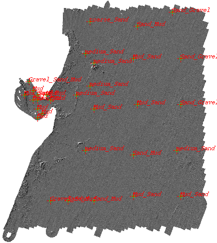
The Backscatter image showed in the next figure was processed using the "classSS" software with new implamentation. In addition, the sun illuminated image with grabbed samples location is presented.
Average Backscatter intensities
Sun illuminated image and samples
Power spectra analysis generated diferent maps for many spectral bands, plus average and standard deviation statistics. The images below are presenting the 20m, 5m and 1.25 wavelength bands. They allowed a better classification of the seafloor, bacause same backscatter intensities regions could be distinguished by the spectral bands as different seafloor types.
20m-wavelength band
5m-wavelength band
1.25m-wavelength band
Last updated February 21, 2007 by Aluizio at omg.unb.ca