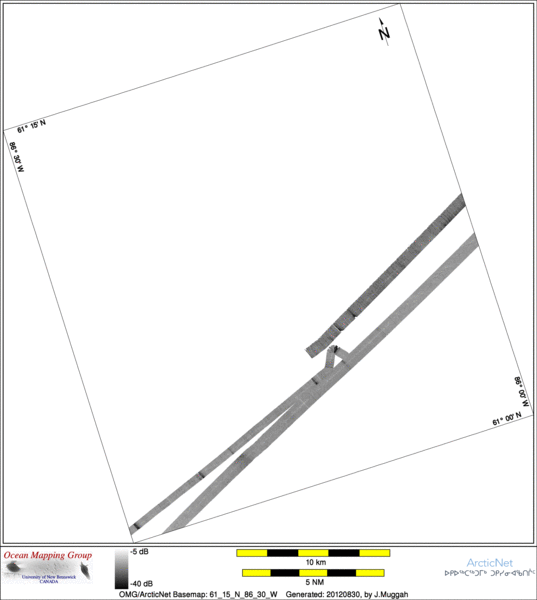
ArcticNet Basemap Series: 61_15_N_86_30_W
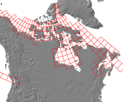
Overview Map
Index Map
62_00_N_88_00_W
Downloads
ESRI grid files for:
This basemap
|
|
|
|
Source data
2004_Amundsen

| 2005_Amundsen

|
Survey Lines for each area
Data from source: 2004_Amundsen
LINE - /drives/hudson/disk1/data/2004_Amundsen/Leg9/EM300/ss/JD238/0582_20040825_000036.ss_bp - 2201 pings included
LINE - /drives/hudson/disk1/data/2004_Amundsen/Leg9/EM300/ss/JD238/0583_20040825_010036.ss_bp - 1598 pings included


Data from source: 2005_Amundsen
LINE - /drives/hudson/disk1/data/2005_Amundsen/026_HudsonBay_2/EM300/ss/JD289/0065_20051016_120040.ss_bp - 843 pings included
LINE - /drives/hudson/disk1/data/2005_Amundsen/026_HudsonBay_2/EM300/ss/JD289/0066_20051016_123040.ss_bp - 1932 pings included
LINE - /drives/hudson/disk1/data/2005_Amundsen/026_HudsonBay_2/EM300/ss/JD289/0067_20051016_130040.ss_bp - 1200 pings included
LINE - /drives/hudson/disk1/data/2005_Amundsen/026_HudsonBay_2/EM300/ss/JD290/0068_20051017_001552.ss_bp - 1335 pings included
LINE - /drives/hudson/disk1/data/2005_Amundsen/026_HudsonBay_2/EM300/ss/JD290/0069_20051017_004552.ss_bp - 996 pings included
Created: 20140319 by J.Muggah


