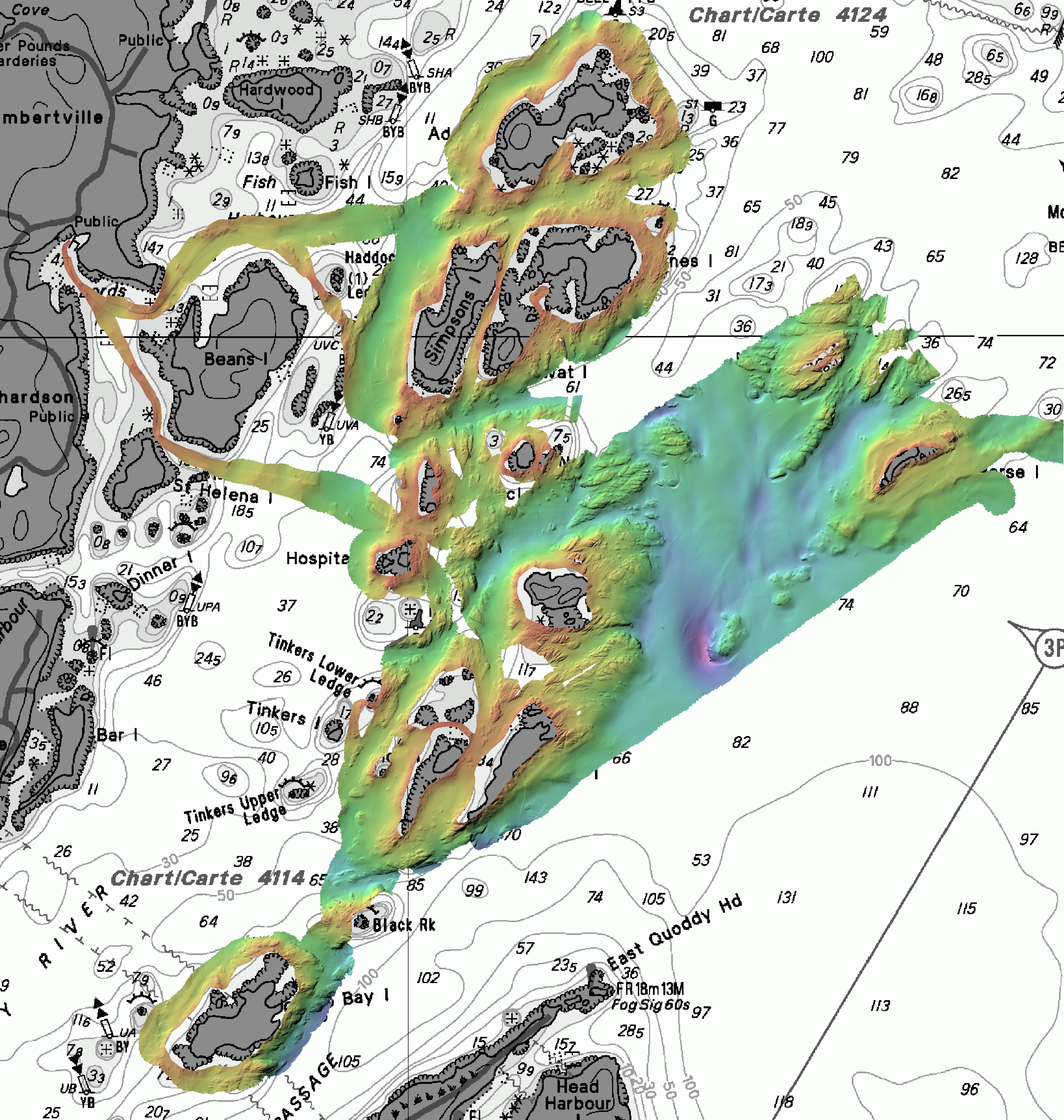
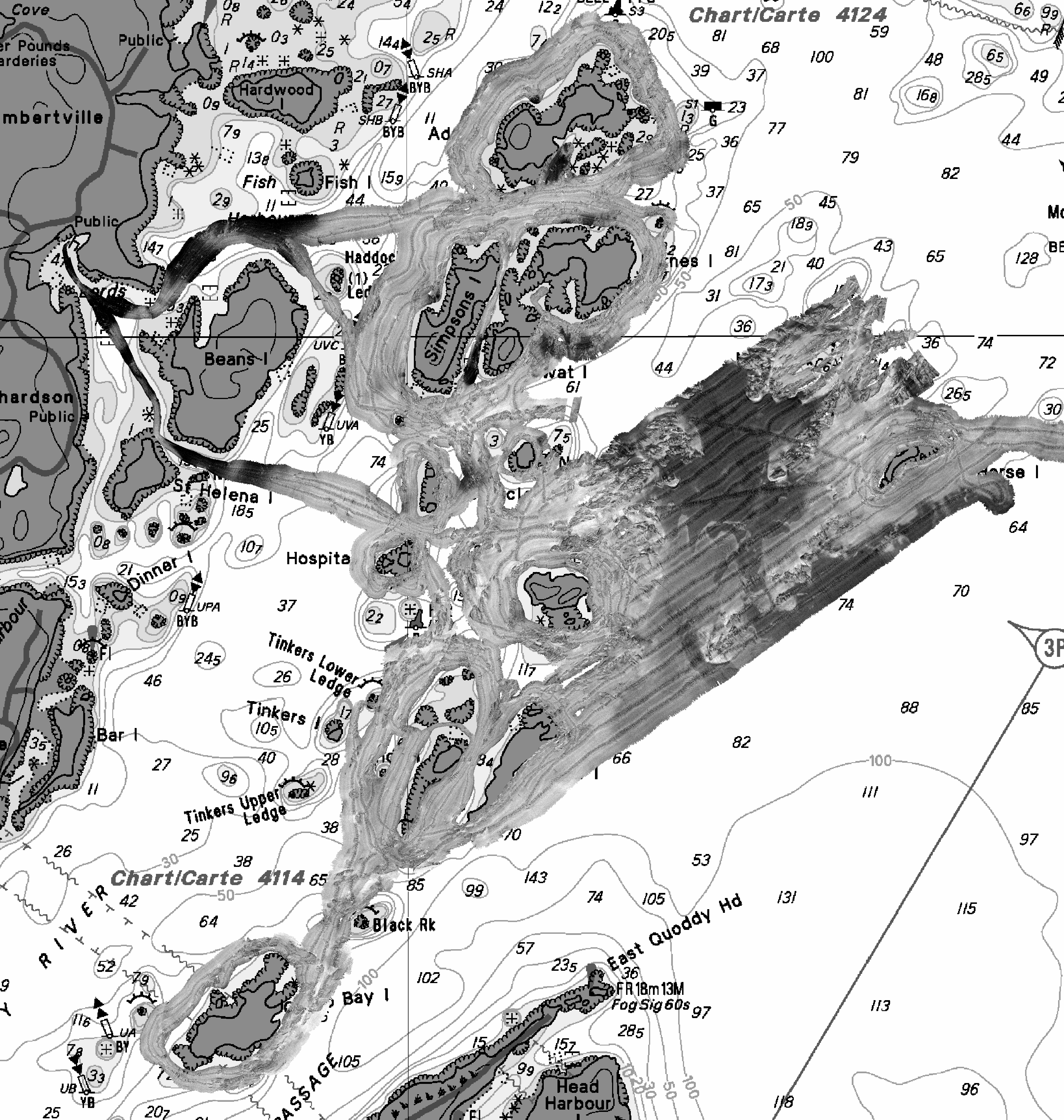
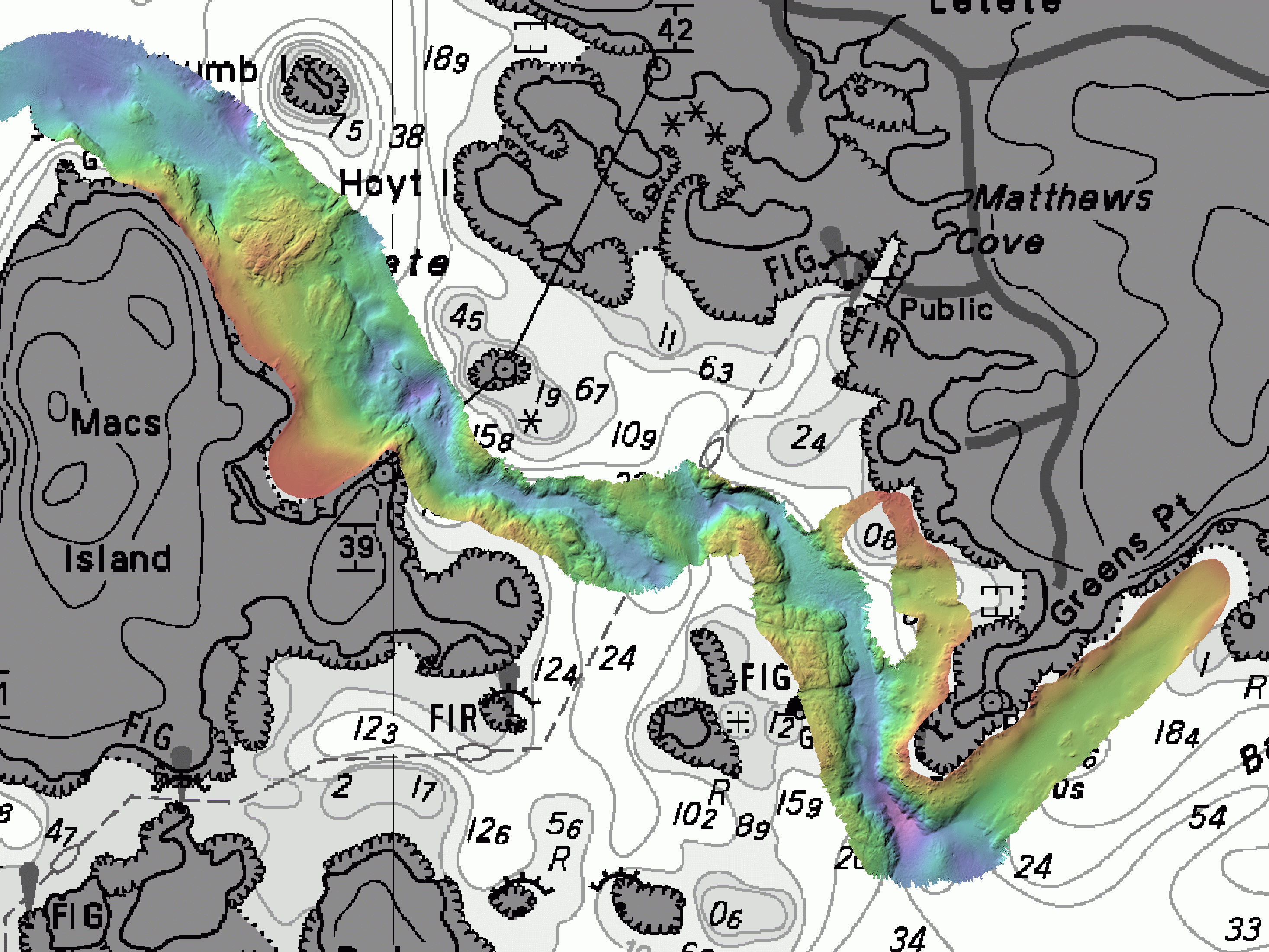
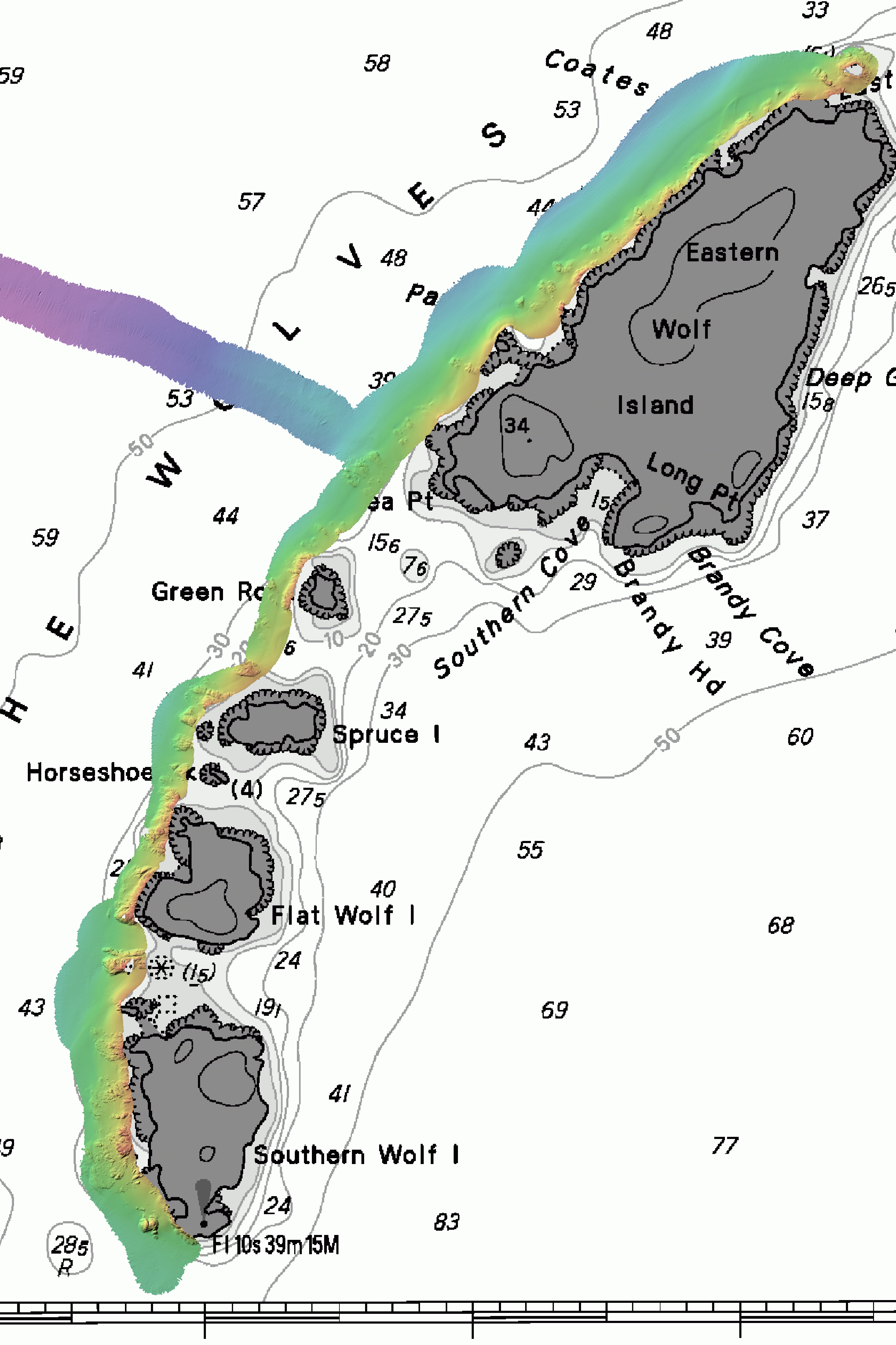
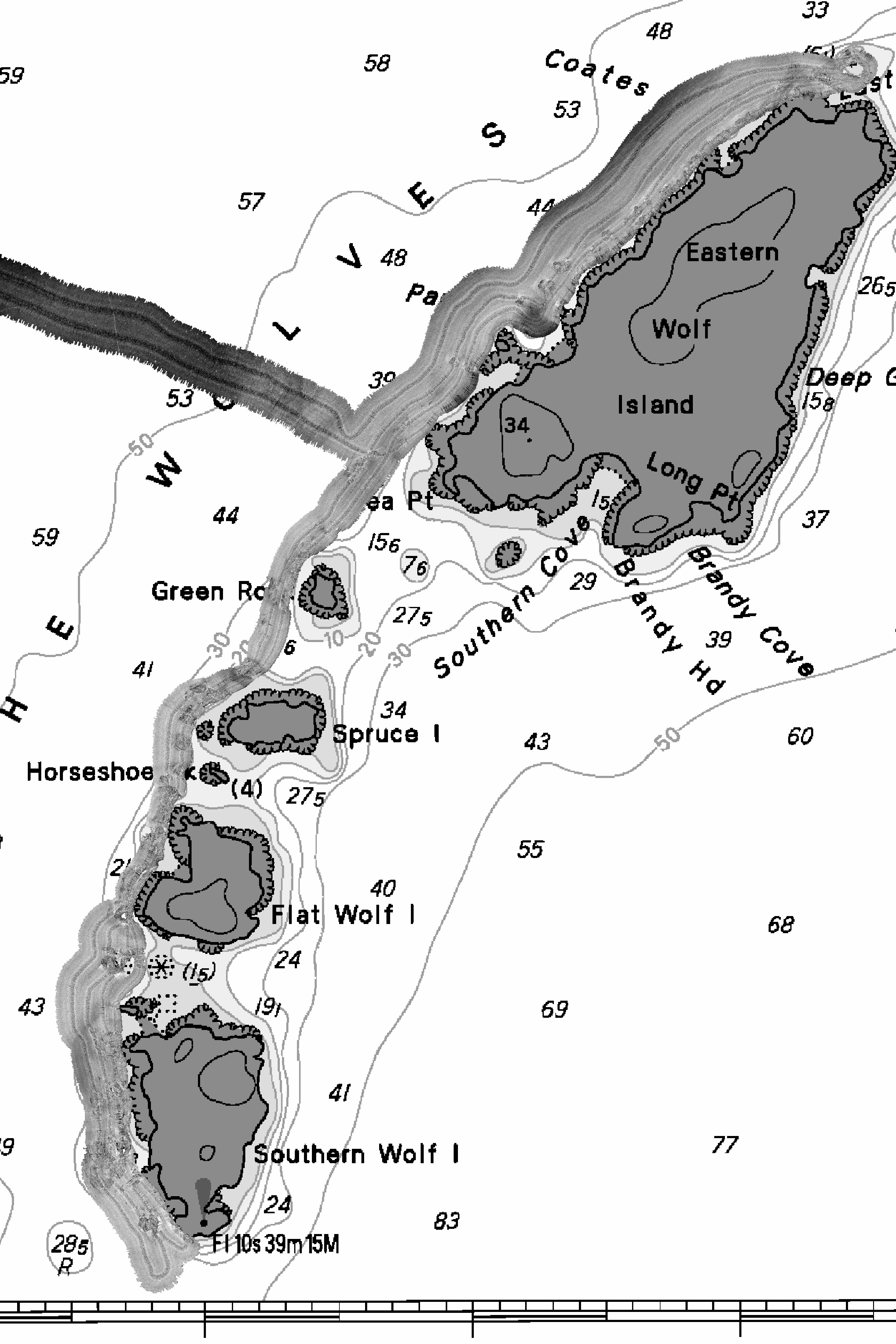
CSL Heron - August 2004
Duxfield and Hutchinson
Ocean Mapping Group
University of New Brunswick
Preliminary images for Maria-Ines Buzeta
- to assess coverage achieved. Click on thumbnails to get ful
lresolution (either 2 or 1.5m resolution gifs). Click on meta data link
to get ASCII files explaining coordinates of bounds of image for
registration in MapInfo.
We'll ultimately make close up 50cm resolution images of the inshore sites that you need.
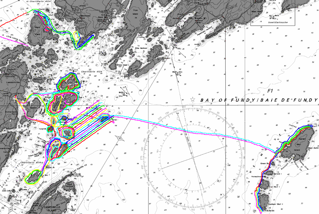
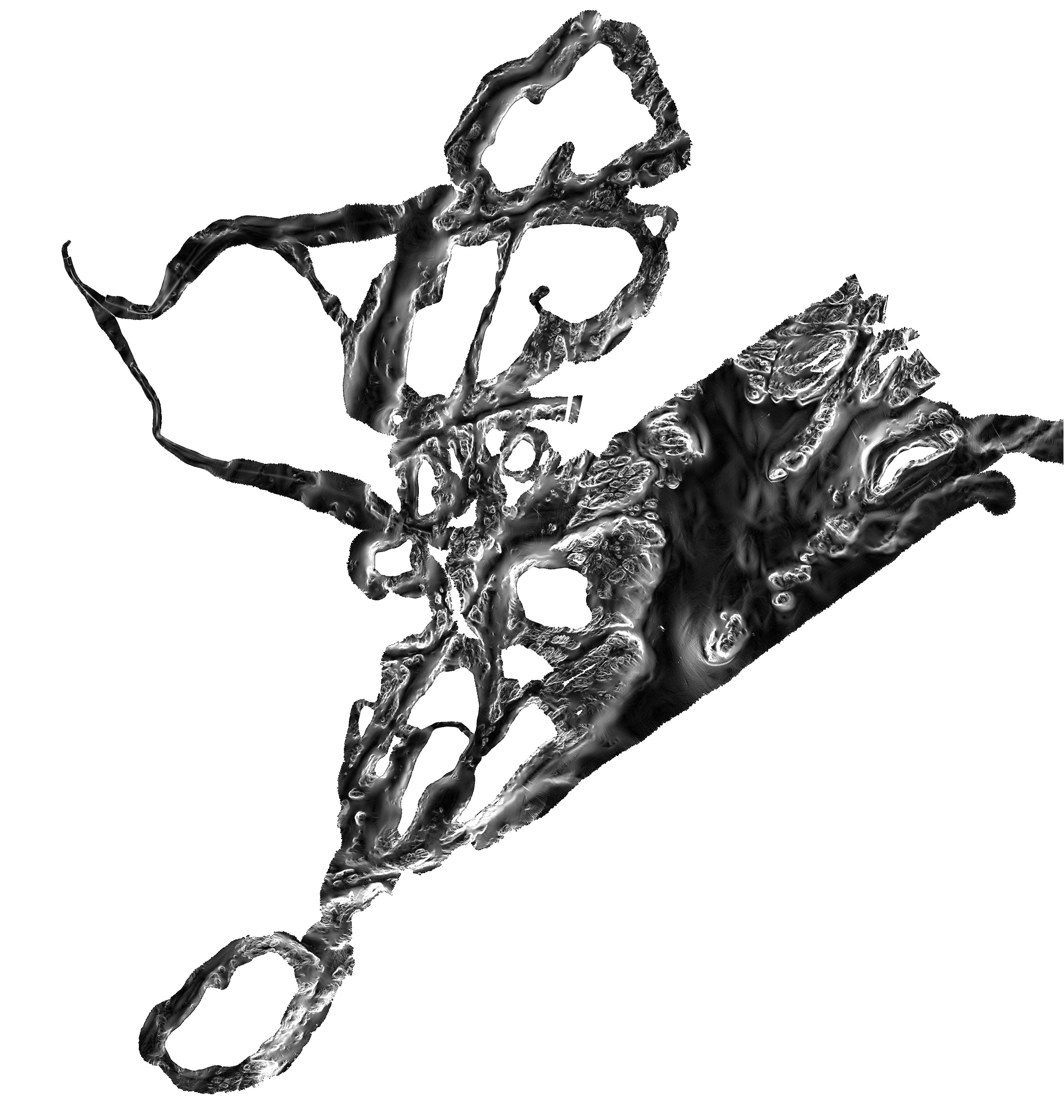
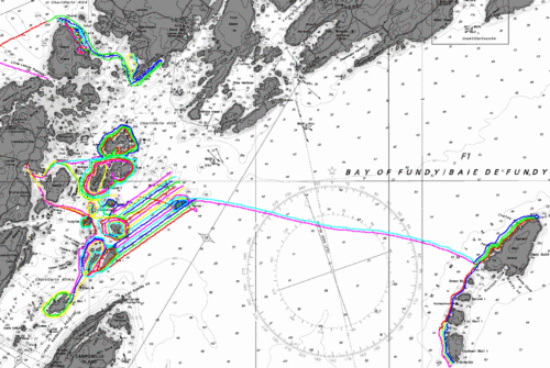
trackplot
of C.S.L. Heron Data Logging, August 2004.
We'll ultimately make close up 50cm resolution images of the inshore sites that you need.