20m
res. view of the Inner Frobisher Bay.
The CHS single beam sounding data that was in NTX was converted to ASCII by Ian.
You can get a copy of the lat-lon-depth files (~20Mb) here.
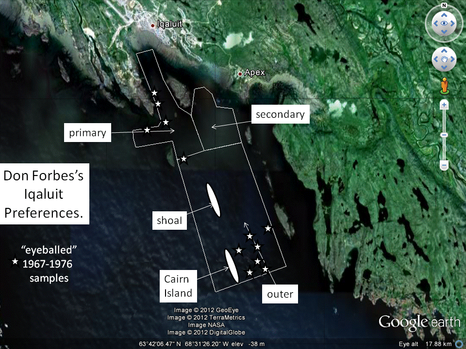
As you can see the main CHS digital depth contribution is the approaches to the town that almost entirely overlap the areas that Don Forbes in requesting in his KMZ files (Iqaluit priority 1, 2 and outer).
I've gridded the data up as a Mercator projection and a tif and txt file is available here:
- the tif file (5m res.) - %mb (gzipped)
- the
txt file for MRE conversion.
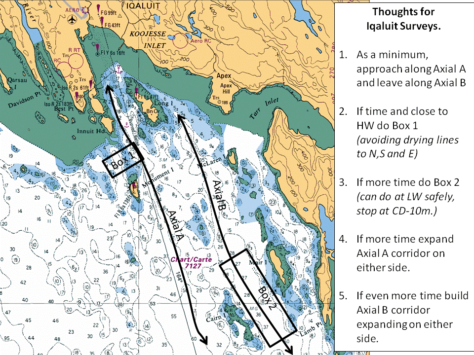
Yuo should be able to bring that into Aldebaran and design surveys based on that (see suggestions below).
As to the approaches - well right now they are TTOALLY blocked by ice. But if Cecil attempts something, I'd really like you to run a little t othe east of the Amundsen cummulative corridor to find the 200m contour.
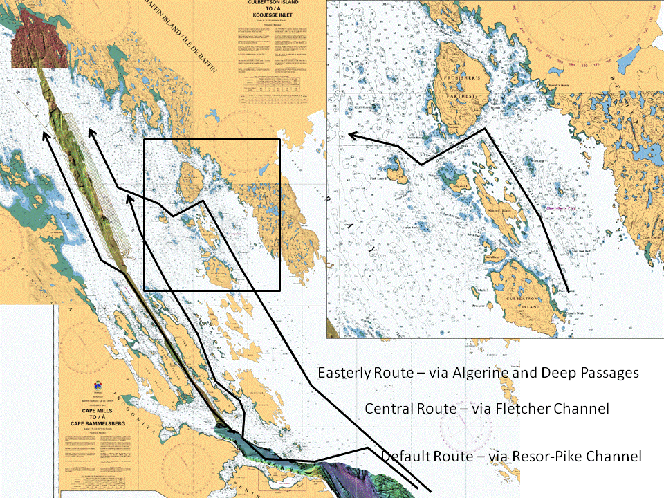
And if Cecil is even prepared to try it, I've got recommendations (see below) for two alterate approaches to the Inner Frobisher Bay.
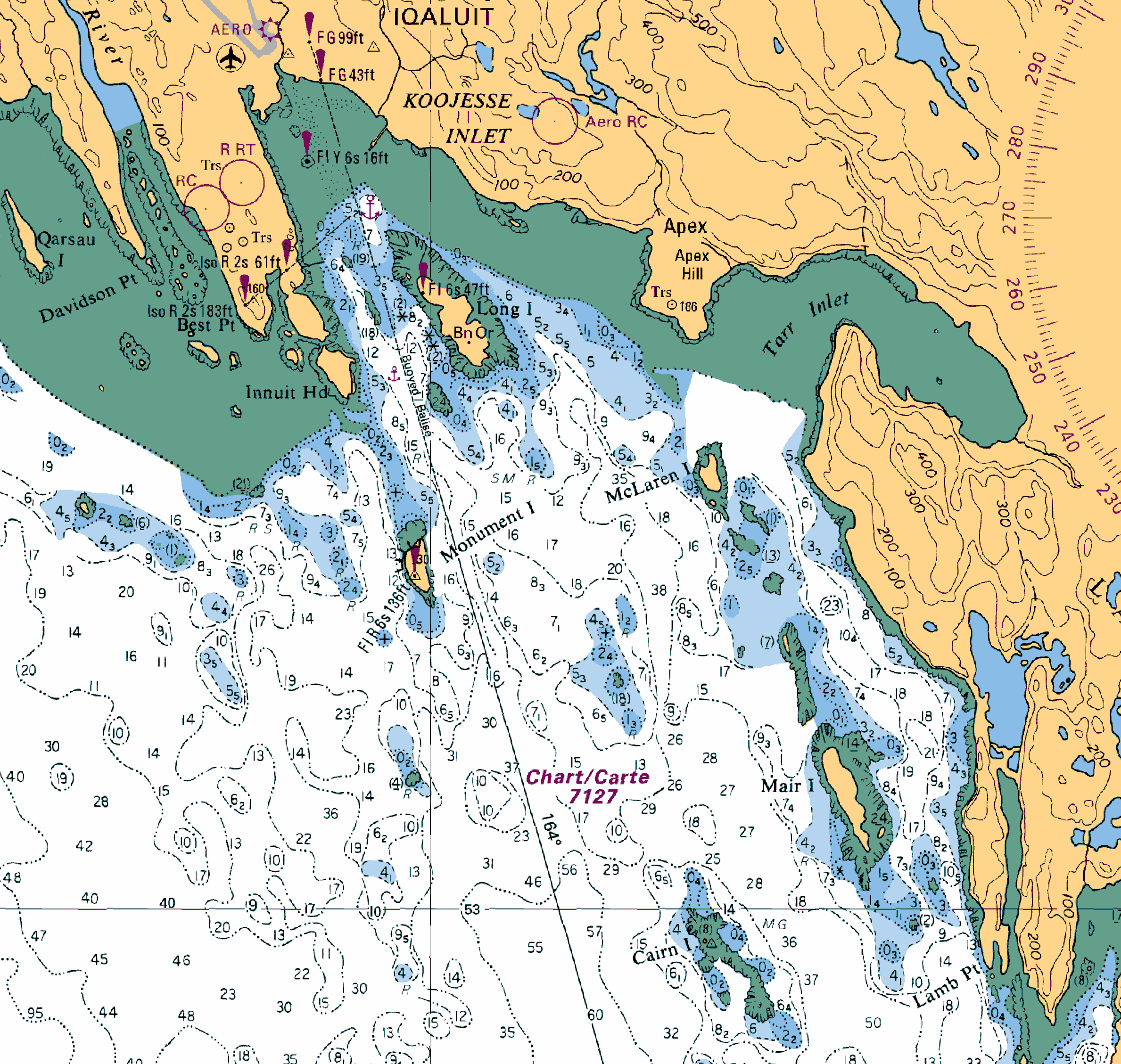
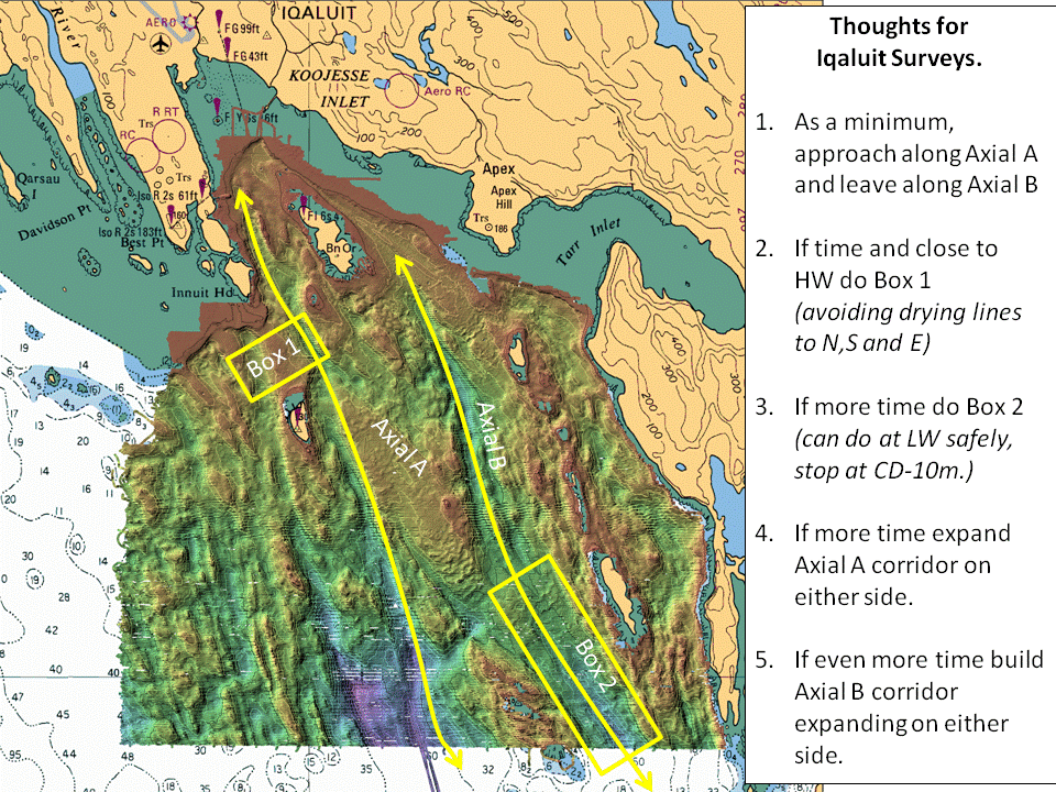
5m res. view of the area where the CHS soundings exist.
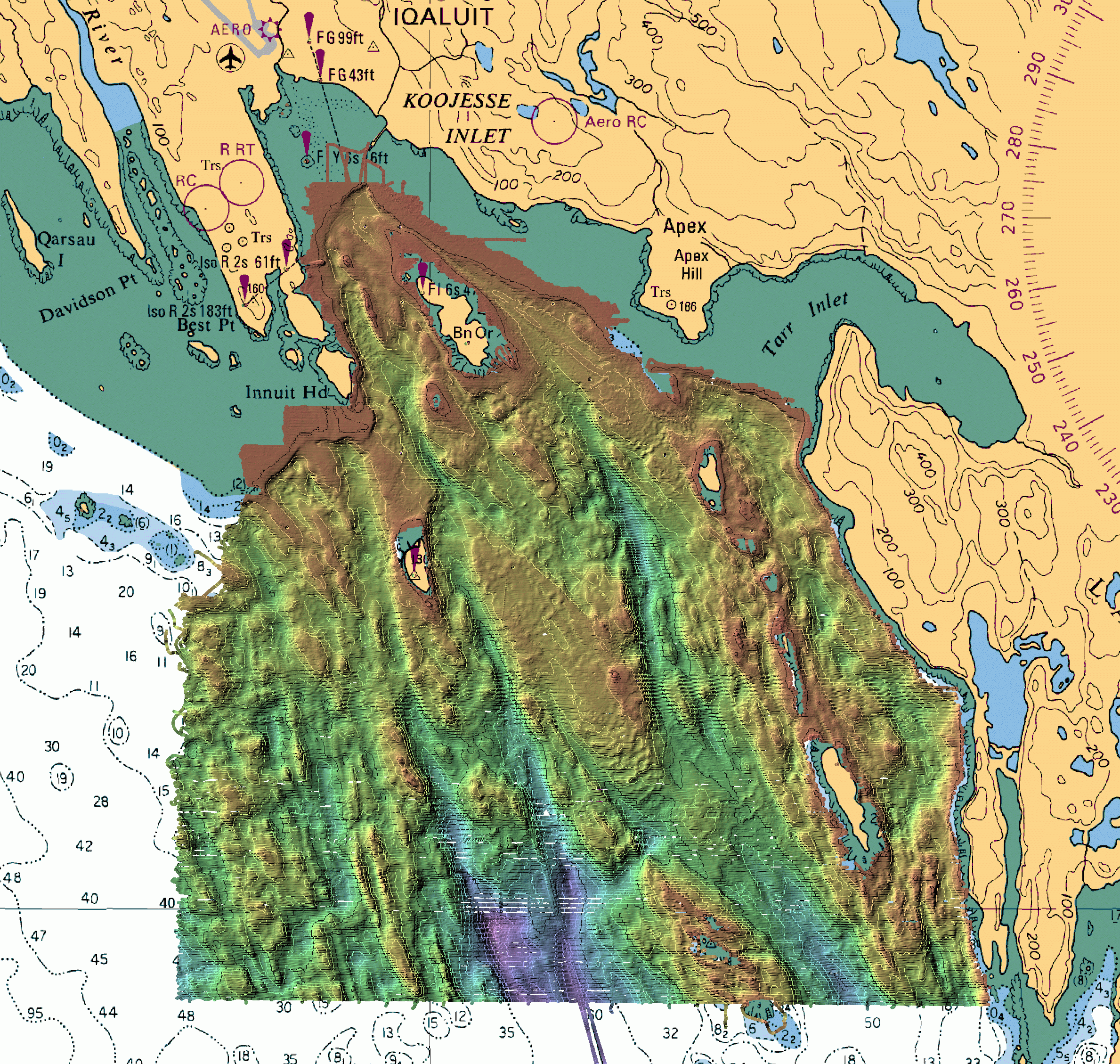
5m res. interpolated DTM based on the CHS coverage
(black contours are drying line and 50m intervals below.
White contours are 10m intervals)