OMG Bay of Fundy Basemaps Information
|
 |
Basemap Series
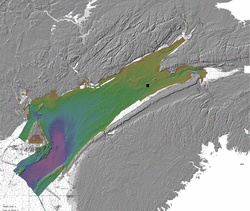
The data collected by several platforms is presented in the form of
basemaps, with each map covering 2' of latitude and 2' of longitude.
Data are gridded at a resolution of 1 metre. For perusal via the web
portal, images are created in which depths are colour coded (based on
the range of depths in the mapsheets) and the terrain is
sun-illuminated. Grid files are available for download in ESRI grid
format (.flt and .hdr files for each mapsheet, downloaded as a zipped
.tgz archive file).
Map Projection
The Universal Transverse Mercator, zone 20 (central meridian 63 W)
projection is used for the Basemap series of mapsheets.
Datums
Horizontal datum: NAD83
Vertical datum: Vertical reduction of soundings uses mean sea level
(MSL) as the reference datum. All data are tidally corrected according
to the WebTide model.
For more information, please contact Doug Cartwright (cartd at omg dot unb dot ca)
Last modified: March 5th, 2010, by D. Cartwright