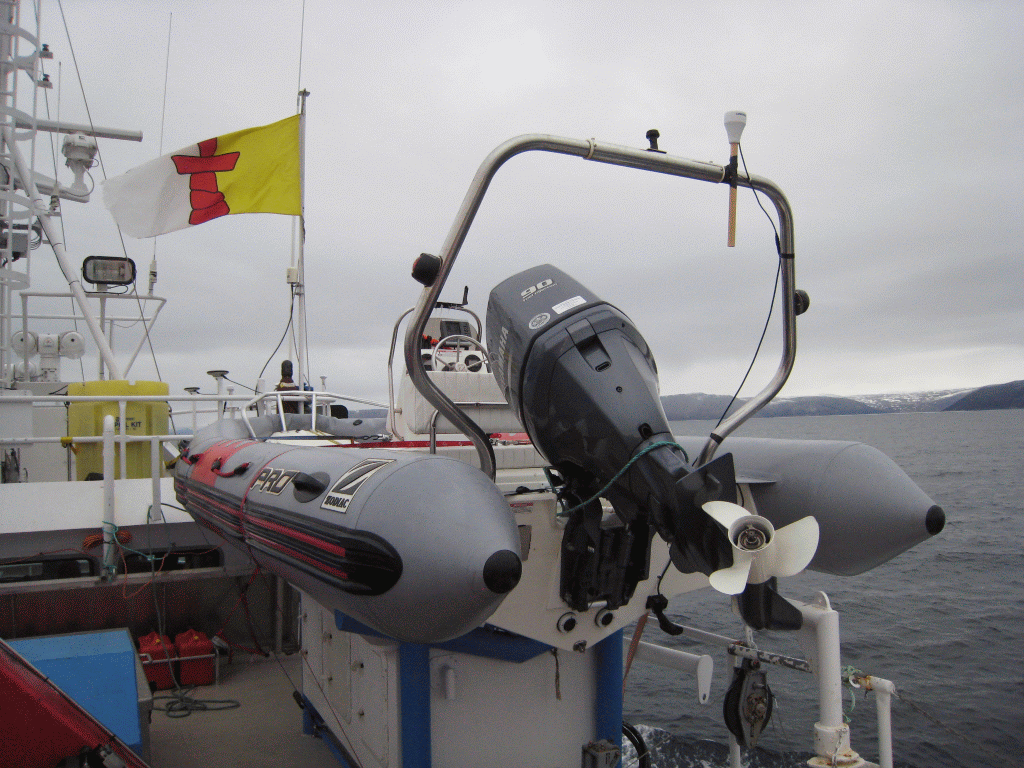
| RV Nuliajuk
Seabed Mapping Cruise Report October 18th to 31st 2013 Pangnirtung to Iqaluit |
John E. Hughes Clarke and
Weston Renoud Ocean Mapping Group Dept. Geodesy and Geomatics Engineering University of New Brunswick |
![]() |
Master: Cecil Bannister
First Mate: Anton Snarby
Crew: Jeff Cheater and Levi
Ishulutaq
|
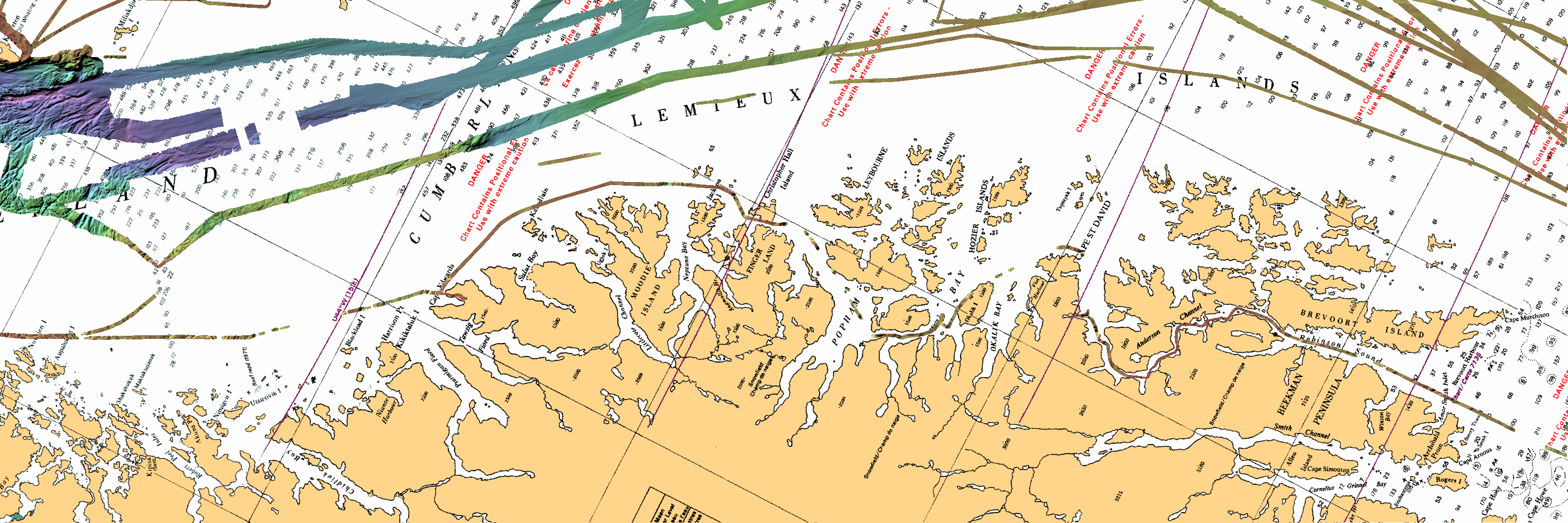
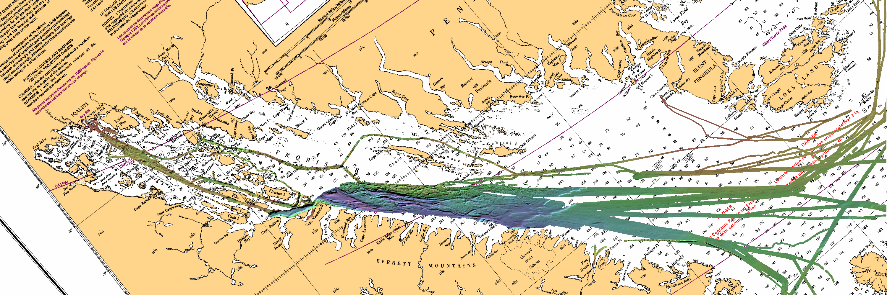
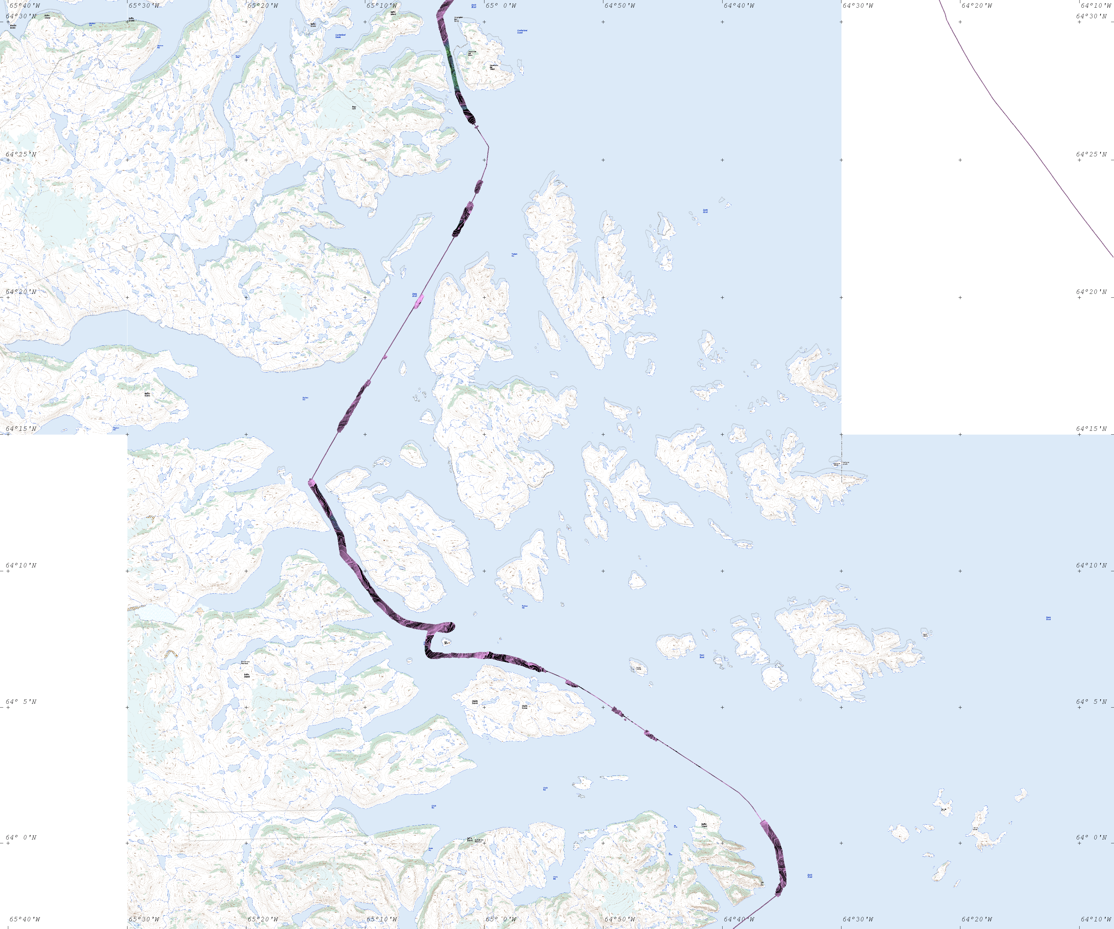
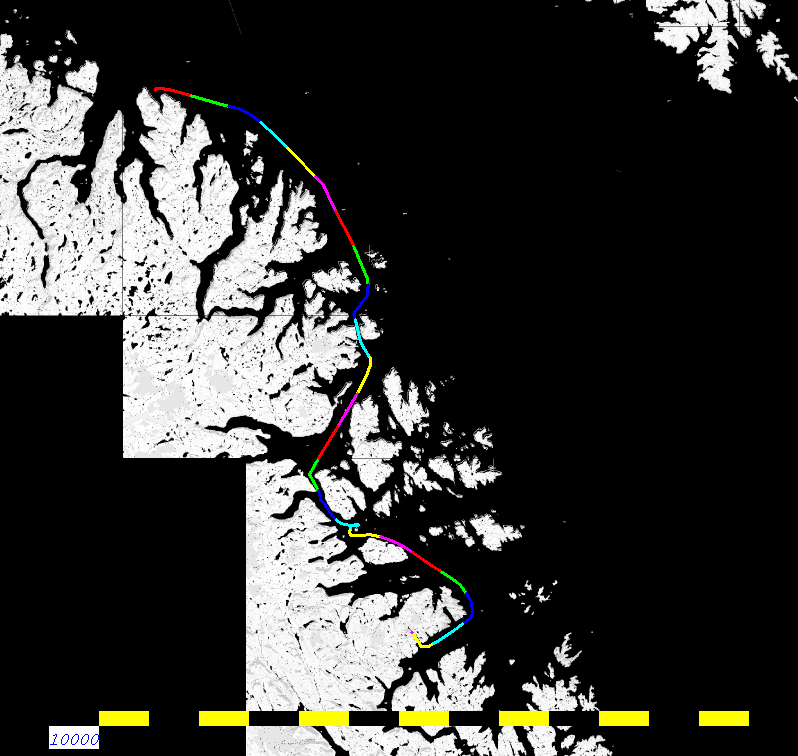
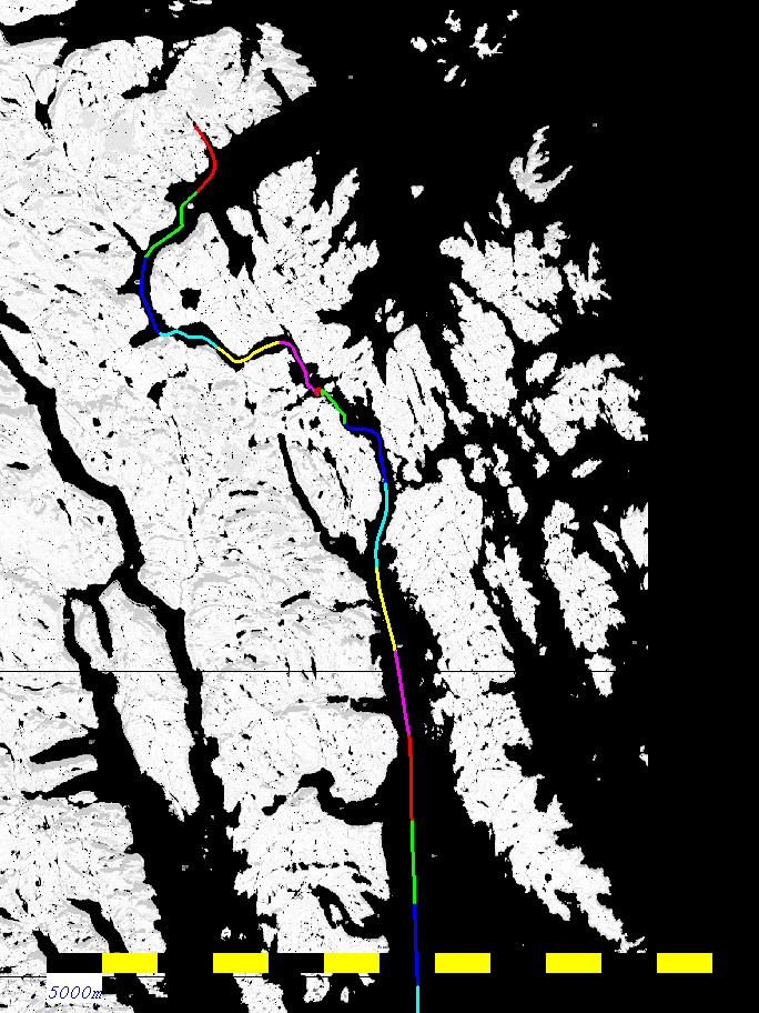
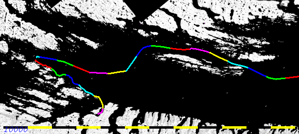
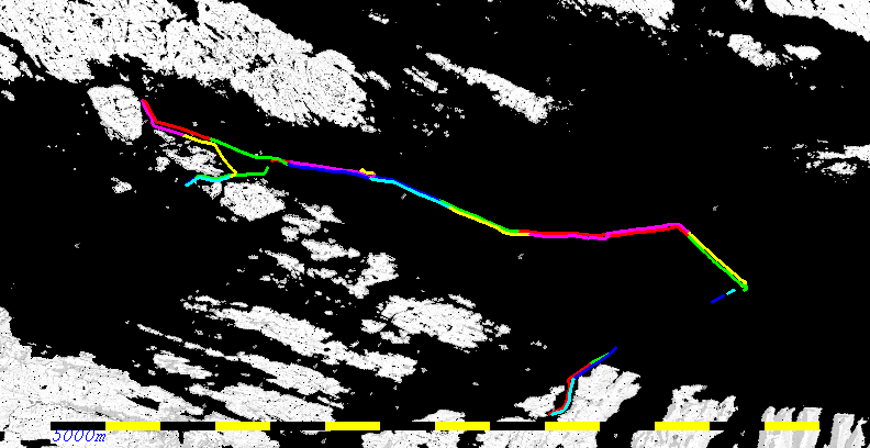
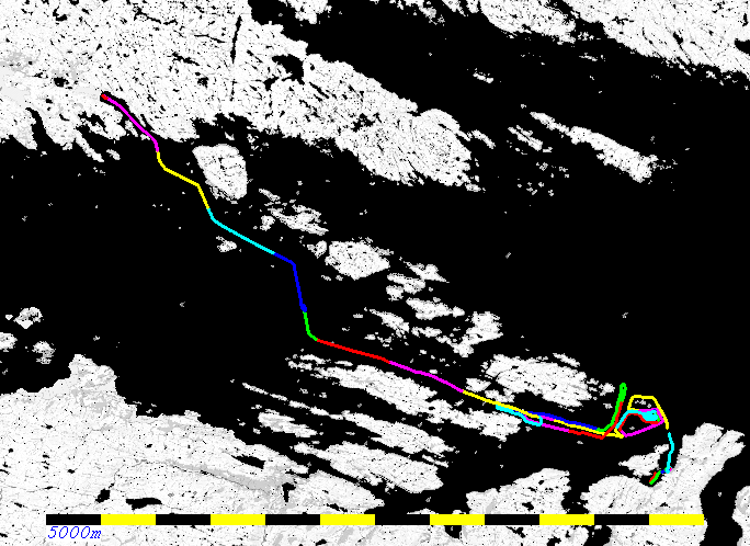
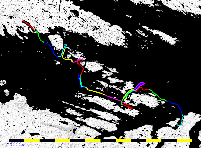
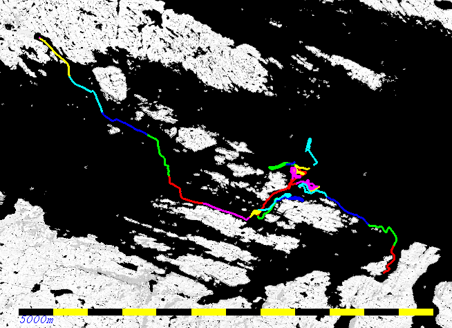
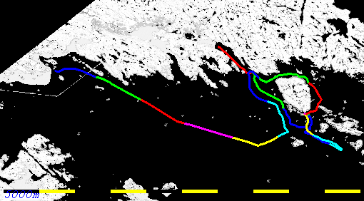
As it happened, the flights in and out of Pang on the 18th and 19th were aborted or cancelled losing two days at the beginning. To make up for this (and to avoid bad weather) a through-night transit was made. The end result required that one day be dropped from the Inside Passage investigations and the first day of the CHS work included (useful) transit data along the north side of outer Frobisher Bay.
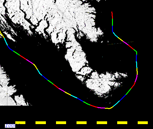
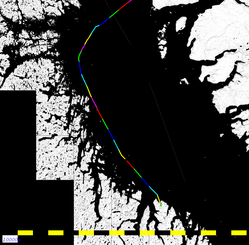
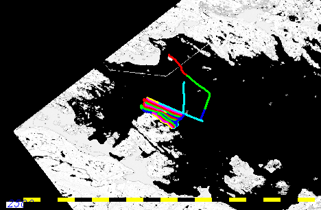
- Pangnirtung to Iqaluit Transit - 3 days
- GN Objectives: Inside Passage Small-Craft Shipping Lanes - 2 days
- CHS Objectives: Charting and tide gauge recovery - 7 days


Primary positioning is provided by the F-185 on COM1 (GGA, HDT, VTG, ZDA) at 1 HzSingle Beam: a 38 kHz Furuno FCV-30 is the standard fisheries echosounder on the Nuliajuk. It is capable of bottom tracking in excess of 1500m. It is a split beam system, and also capable of forming multiple simultaneous beams (up to 5) for fish school shape determination. For fisheries biomass, the full waveform of a single channel can be exported in the HAC format. No bottom tracking is maintained in the HAC format, however, (or heave or orientation). And when recording to an external disk (the internal disk is too small), it slows down the ping rate and often freezes the sonar for up to a minute at a time. Thus for this leg, full waveform logging was not used.
Attitude and orientation is provided by the F-185 on COM2 in EM1000 format at 100 Hz
Secondary positioning is provided by the C-Nav 3050 on COM2 in NMEA (GGA, VTG, ZDA) at 1 Hz
Timing is provided by the F-185 via ZDA and 1PPS (Falling Edge)

CNAV 2000: The output is recorded using a serial logger. The logged data is converted to Rinex format using a proprietary CNAV converter that must be run on 32-bit Windows. Files are split by the serial logger 24 hours from logging start.Positioning and Orientation:
CNAV 3050: Is the secondary positioning for EM3002 and provides RTCM correctors to F-185. Logged by C-Setup to a proprietary format. Can be converted to Rinex with C-Nav converter.
COM1: configured to output GGA, VTG, ZDA at 1 Hz, supplied to EM3002 as secondary positioning.
COM2: configured to output RTCM 9 correctors to the F-185
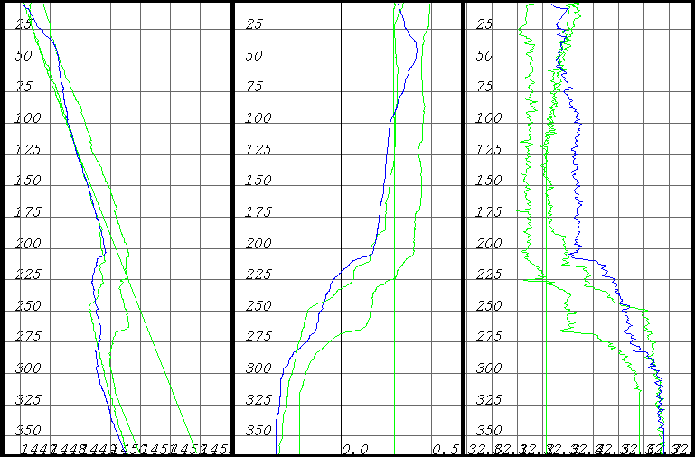
Frobisher Bay SV Profiles (T and Sv, Salinity derived):
All SV-T-S(derived) profiles obtained in Frobisher Bay
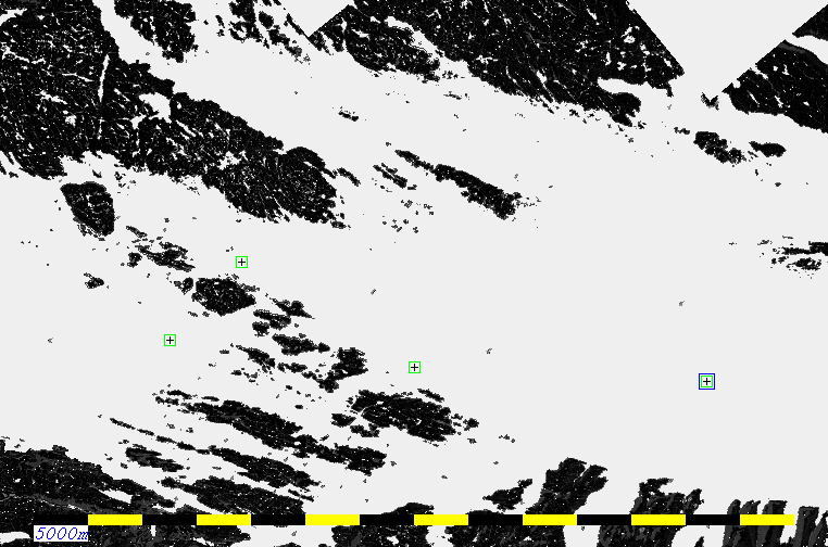
Map showing locations of 4 of the 5 SV profiles collected.
Anomalous differences between the surface sound speed and the lowered probe were only noted in Lewis Bay (presumably the result of remnant river run off). As the gondola SV probe was used for beam steering and the surface brackish layer was thin, the consequences are minimal.
![]() |
![]() |
![]() |
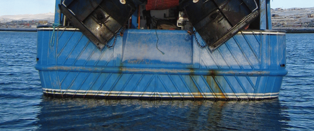
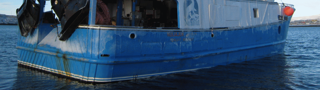
| port side
waterline |
stern waterline |
stbd side water line |

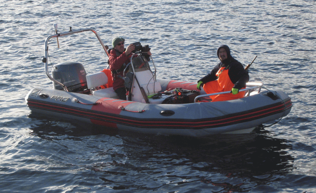
![]() would be better with a cuddy... |
![]() showing transceiver/display mounting |
![]() showing antenna and transducer transom setup. |
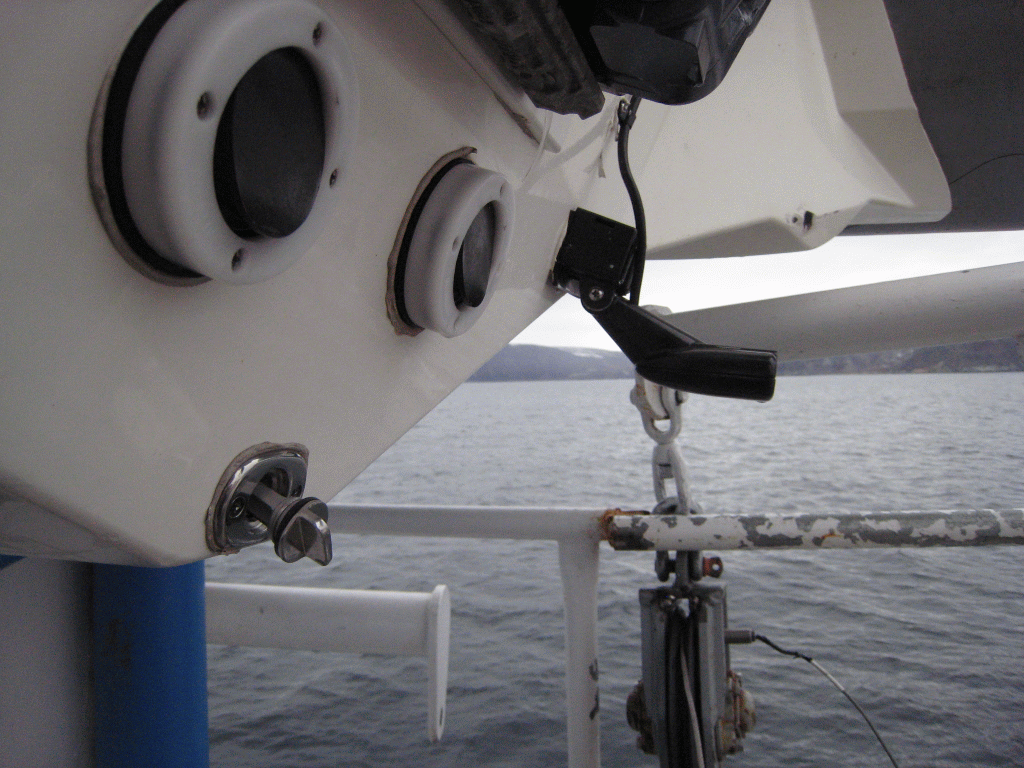
![]() showing detail of transducer installation |

![]() |
![]() |
![]() |
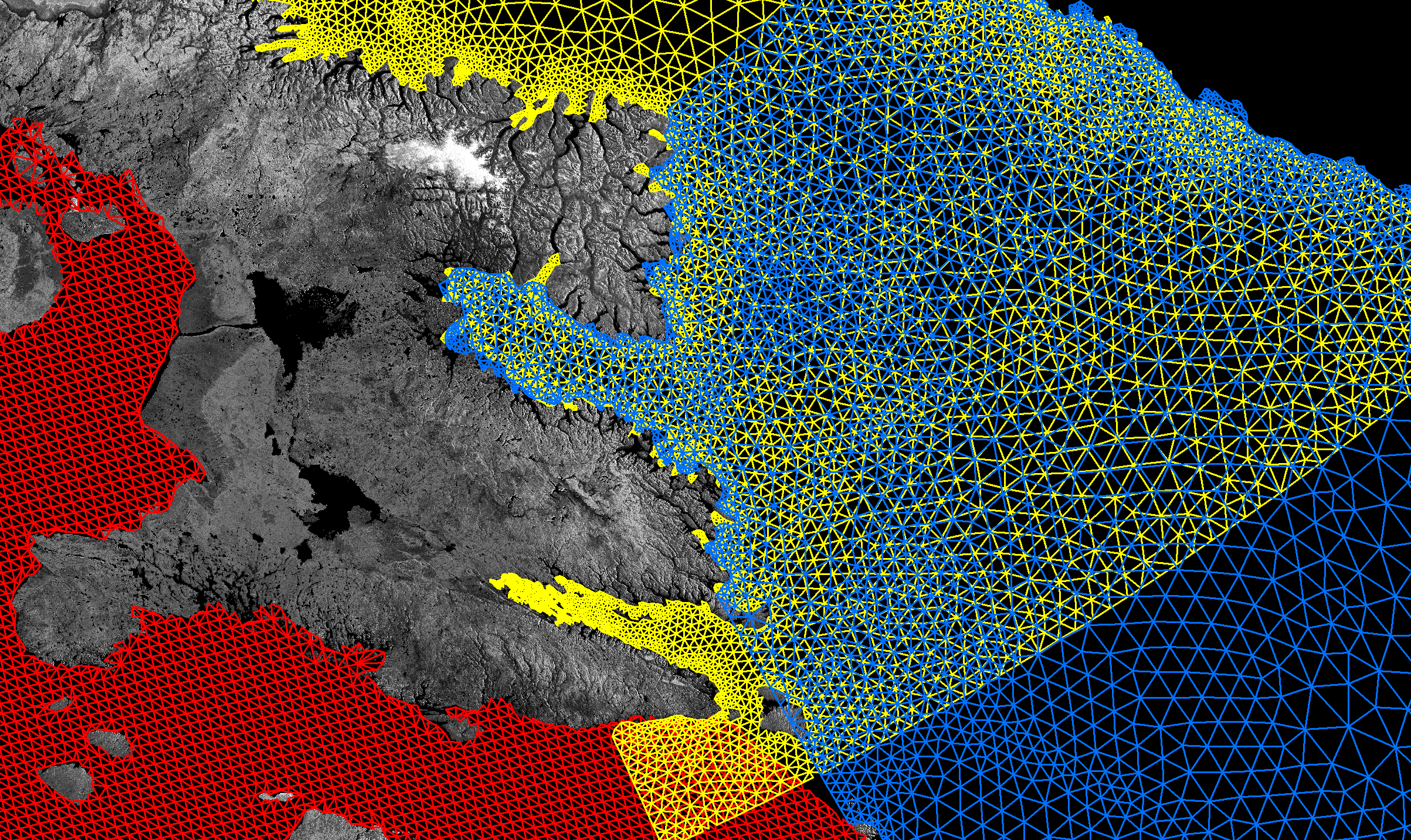
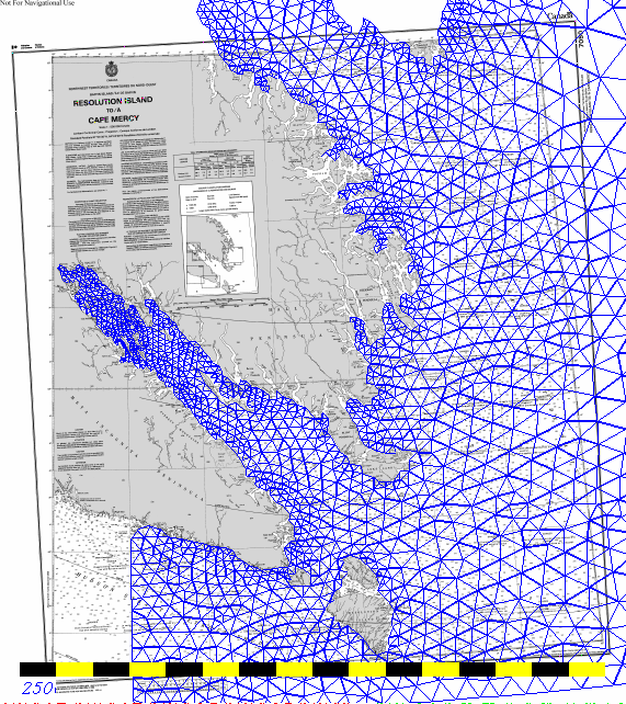
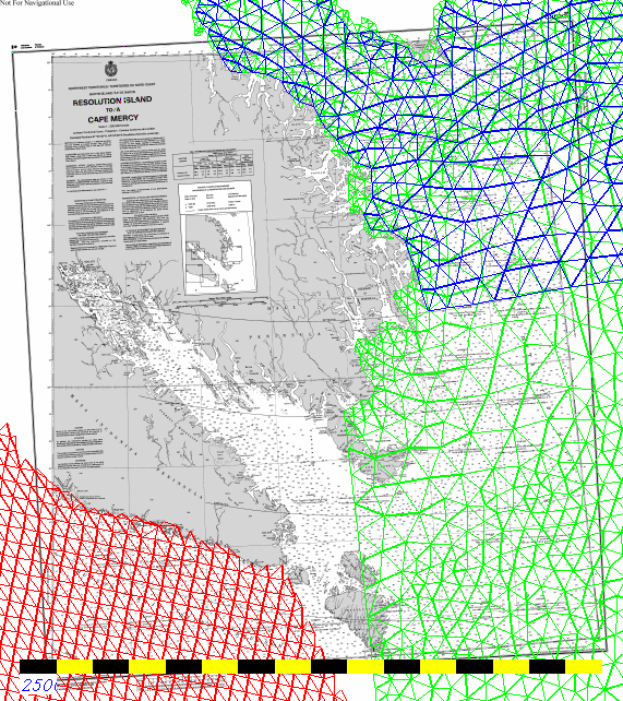
| Arctic9 model coverage |
Arctic8 model coverage (blue) NW Atlantic model (green) Hudson Bay model (red) |
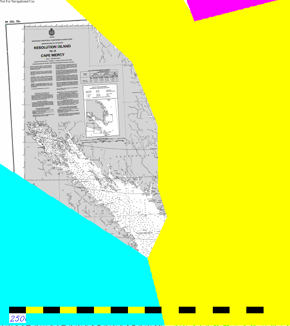
Polygons defining default
model choice for ArcticNet surveys prior to 2012 |
![]() |
![]() |
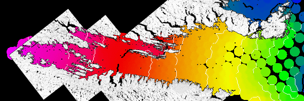
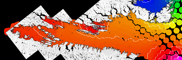
| M2 amplitude - white line 0.1m
contours, black line 1m contours. 3.4m amplitude at head, 2.5m at mouth |
M2 phase -range : -11 to -60
degrees (1 degree is roughly 2 minutes delay for an M2 tide) |
![]() |
![]() |
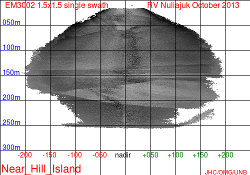
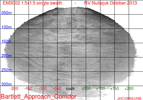
| example performance envelope
in low backscatter sediments |
example performance envelope in high backscatter sediments |
Ideally,
for depths greater than ~ 150m, a lower frequency multibeam should
be used. As the areas covered routinely dropped in and out of the
maximum achievable depth, lots of data cleaning has been required to
edit out the mistracking in the event of an "unfathomable" bottom.
The system has to be kept logging even after the bottom tracking has
been lost in case the seabed rises up again. For those instances,
the Furuno single beam data is substituted.
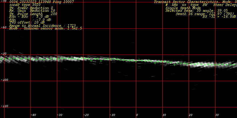
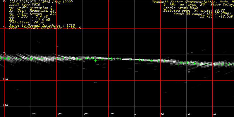
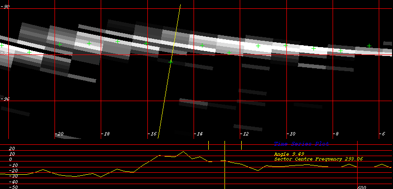
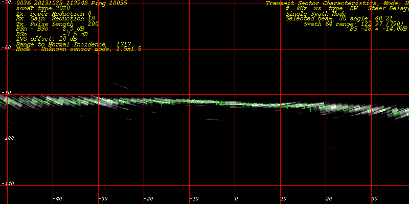
EM3002 - near nadir
tracking noise:![]() |
![]() |
![]() |
![]() |
![]() |
![]() |
![]() |
![]() |
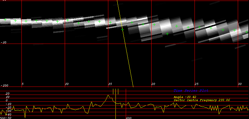
| water column imagery - grids
spacing at 10m intervals |
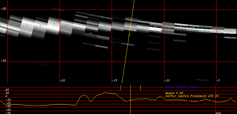
zoom of watercolumn showing intensity trace for the specific mistracking beam |
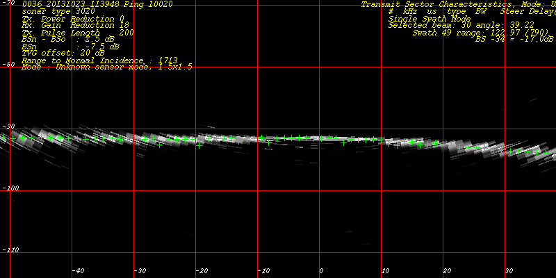
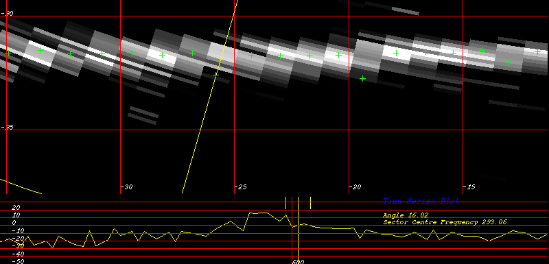
EM3002 - outer beam
low S/N: 
![]() animation of 10 succesive pings |
![]() still of one ping |
![]() still of another ping |
Open Water Shoal
Constriction:
Cape Edwards Anchorage:
Littlecote Channel
to Neptune Bay:
Popham
Bay:
Cape St. David Anchorage:
Anderson Channel:![]() |
![]() |
![]() |
| northern Anderson Channel
constriction |
central Anderson Channel
constriction |
southen Anderson Channel
constriction |
Between Maclean
and Gabriel Islands:
Approaches to
Bartlett Narrows and Deep Passage:
Fletcher Channel
Approaches:
Falk Channel:
Algerine and Deep Passages:
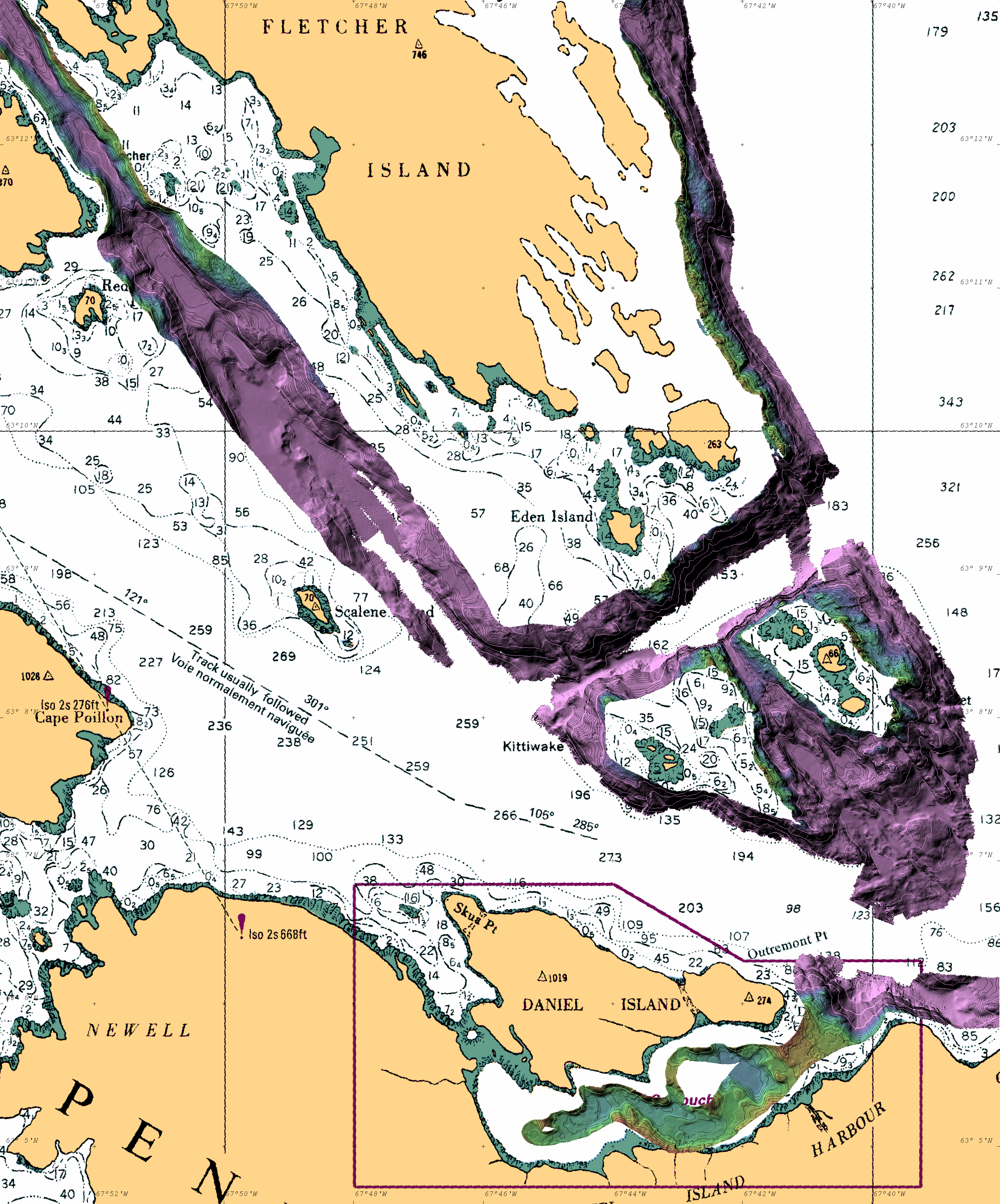
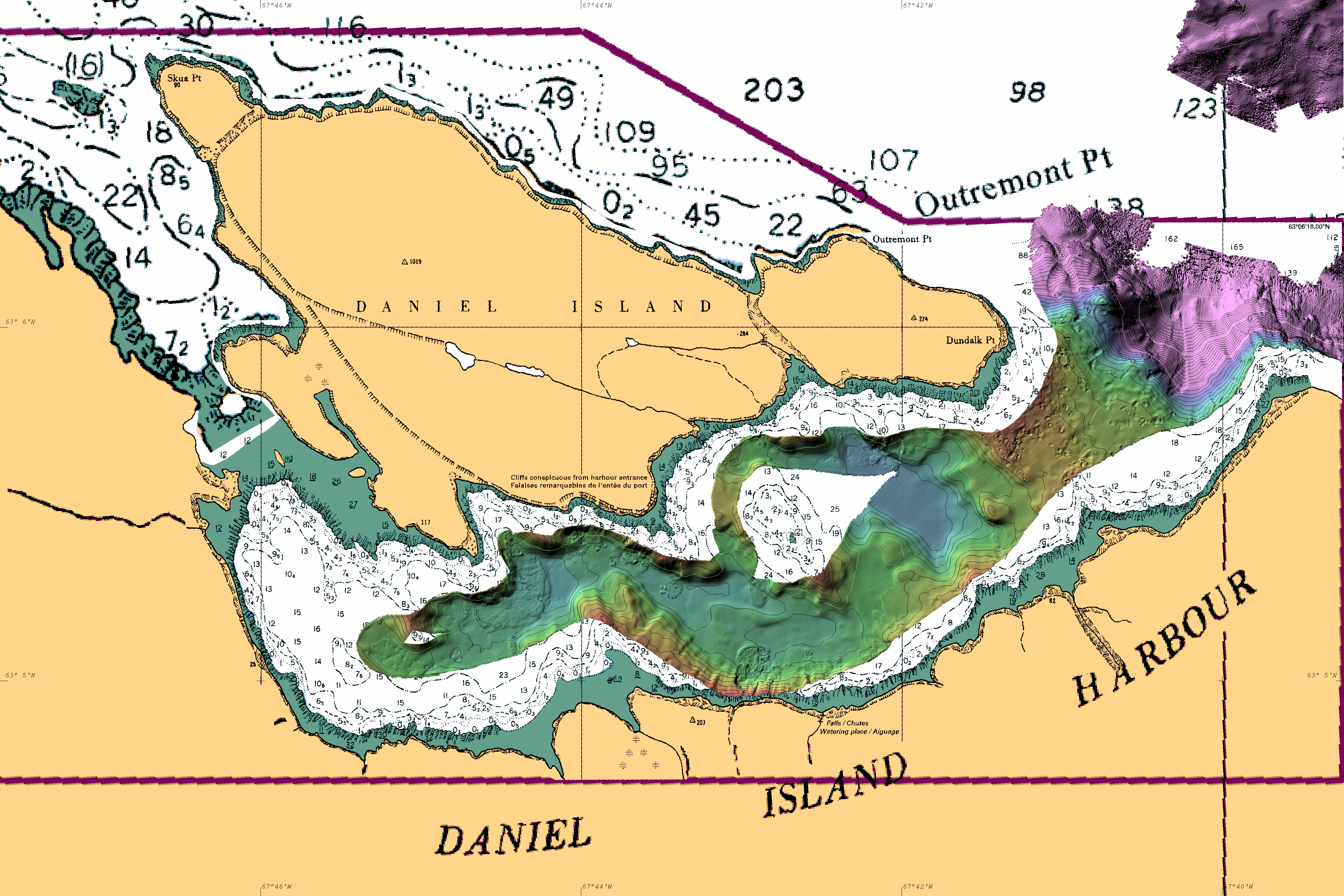
Daniel Island Harbour:
Lewis Bay:
Western Iqaluit Anchorage:
October 21st (JD294):
- Departed Pangnirtung at 0600. F185 heading clearly wrong. Rebooted
and calibrated while steaming out of Pang Fjord. Reacquired
calibration and logged data on north flank of coverage. Over Pang
Sill with ~ 15m water (schools of fish on sill top providing
false targets for searchlight sonar).
October 22nd (JD295):
- Departed Cape Edwards anchorage at 0600 but F185 heading clearly
wrong - waited 45 minutes while rebooted and tried to reacquire a
calibration. Finally achieved this outside harbour. Uneventful
transit until turned inshore to attempt Popham
Bay transit.
October 23rd (JD296):
- Departed Cape St. David anchorage at 0600. F185 working well. 3.5
kHz turned on after consultation with Knudsen technical support. 
October 24th (JD297):
- at dawn, transited through the line of soundings between Maclean and Gabriel
Islands. 1-1.5 knot flood tide current with us. Then developed
the first line of a corridor just
to the south of reported rock and shoal areas toward Bartlett
Narrows and Algerine Passage.
October 25th (JD298):
- Departed Daniel Island Harbour anchorage at 0700. ran east
across preexisting deep Amundsen coverage to a point where EM3002
tracking depths are viable. Built a corridor north to join the
incoming transit on the 24th. Ran that up to the mouth of the
Bartlett Narrows. Once at the mouth as it was close to HW, so we ran
two lines through Bartlett Narrows,
in and back out again.
October 26th (JD299):
- Departed Daniel Island Harbour anchorage at 0700. Ran
a constraining survey around the "Bird" Islands (Gander, Nesters,
Gosling, Kittiwake). Then proceeeded to define the deep water approaches to
the constriction at the mouth of the Fletcher Channel.
October 27th (JD300):
- left Lewis Bay at 0700. Added two lines on either side of the Algerine and Deep Passage
transit corridor. And added two lines on either side of the Bartlett Narrows Corridor. Then
proceeded to expand the Fletcher Channel as HW approached. On
returning NW along Fletcher we decided to turn into the opening to
the east that lead to the gap between Fletcher and Falk Islands.
Prior soundings only extended ~ 1/2 a mile in but indicated over
200m of water.
October 28th (JD301):
- Departed Daniel Island Harbour anchorage at 0700. ran up the
eastern flank of the island chain, landward of our previous
tracks. Defining the 40m contour most of the way. Started
better defining the mouth of the Falk
Channel. Also established that the two rocks awash are not
part of the same reef. It is possible to steam between the two and
around to the west of the southern shoal. The reported obstruction
does not appear to exist. Investigated shoaler soundings in the deep
water between the channel mouth and our transit corridor to the NE.
October 29th (JD302):
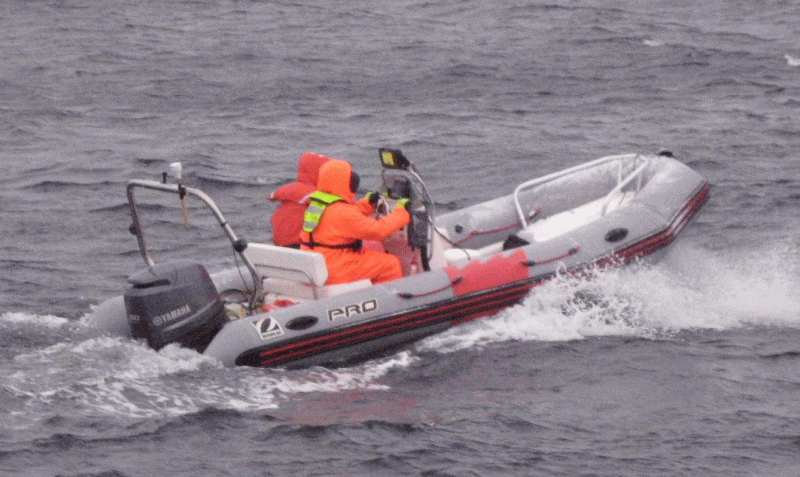
- up anchor at 0700. Prepared RIB for tide gauge deployment. ~25
knot winds from the NW, with significant seas. Dropped off at ~ 0845
in lee of island closing off Hancock Harbour. Weston and Levi
attempted to communicate with the submerged tide gauge. No luck.
Deck unit clearly transmitting and codes used were based on the
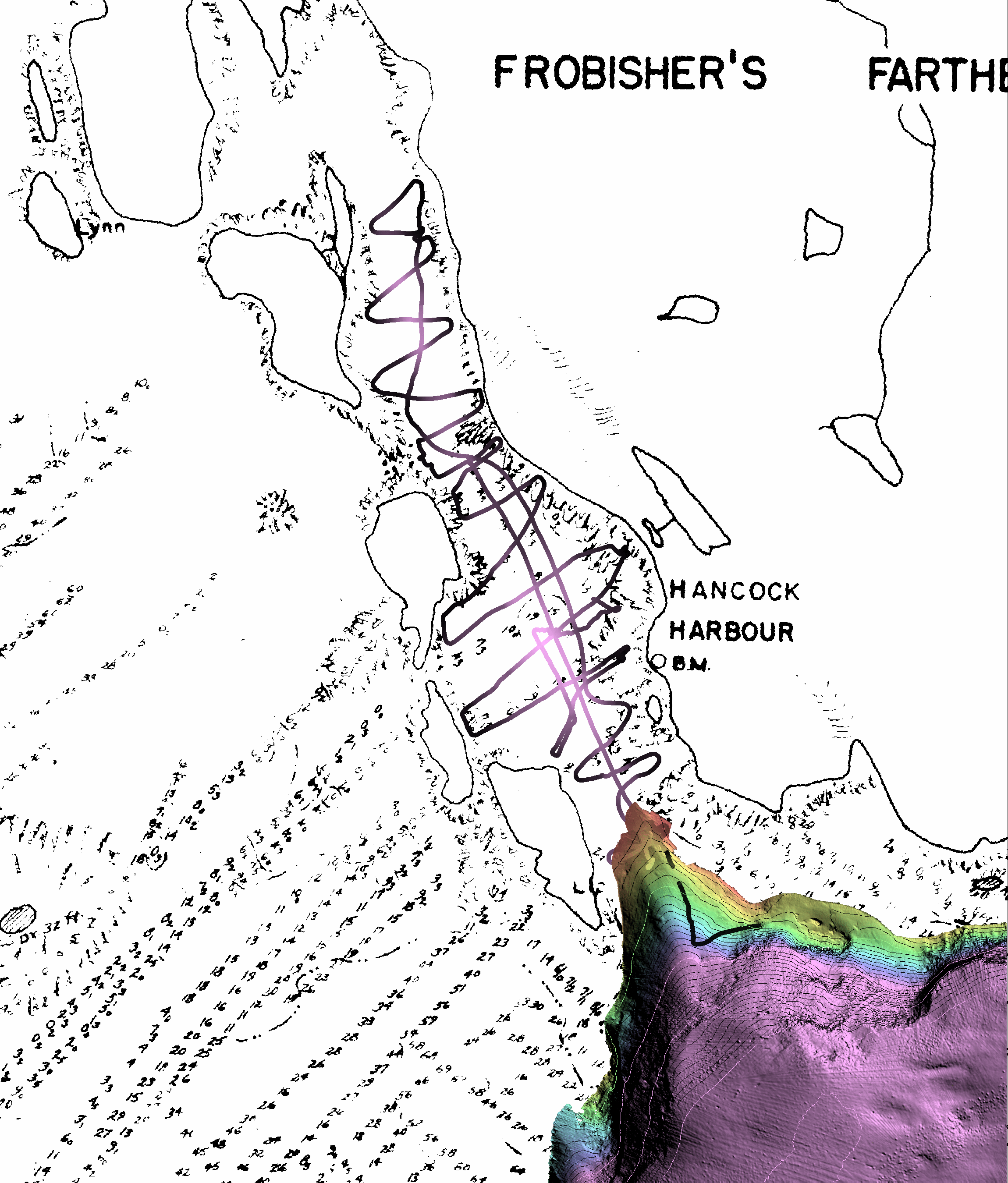
deployment log. RIB proceeded to undertake single beam
reconnaissance mapping of Hancock inlet to better define entry
depths. Nuliajuk surveying to the south, but sea states marginal for
quality data collection. Picked up RIB at about 1030. Decided to
take the shelter of Frobisher's Farthest and run the Mandarin Passage. Then proceeded to
survey just south of Lewis Bay in partial lee of coastline.
October 30th (JD303):
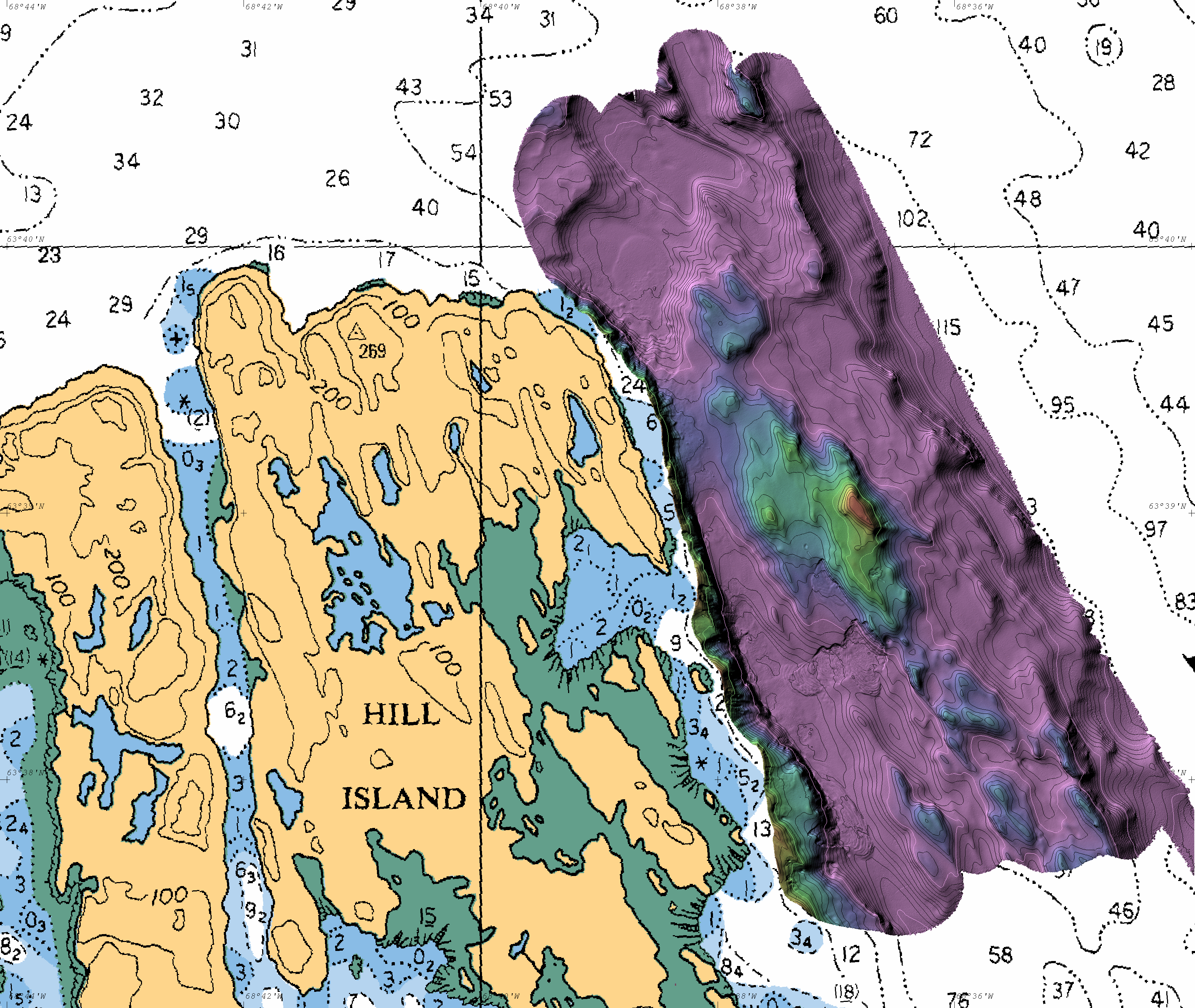
- Picked up GN representatives at 0700. Proceeded to Hill Island Area. Did a CTD
in 250m of water and surveyed until ~ 1500. After that we conducted
squat trials while transiting back to Iqaluit harbour.