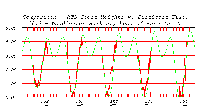
direct comparison - 5 days on location.
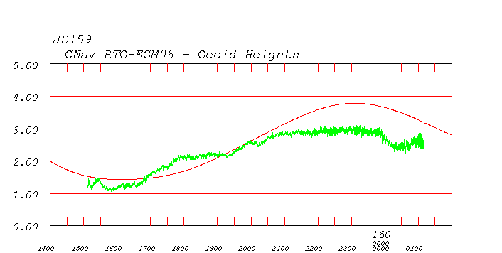 steaming in from Powell River |
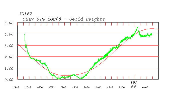
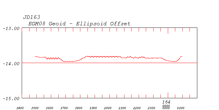
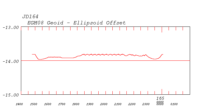
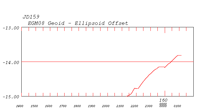 climbing up ellipsoid |
 transit in. |
 |
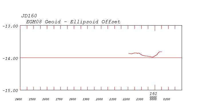 |
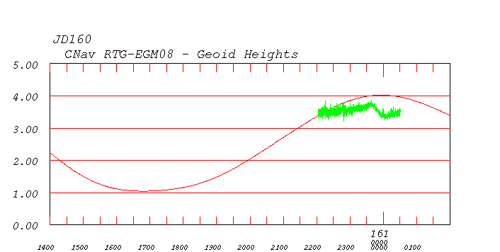
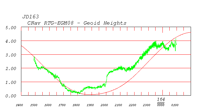
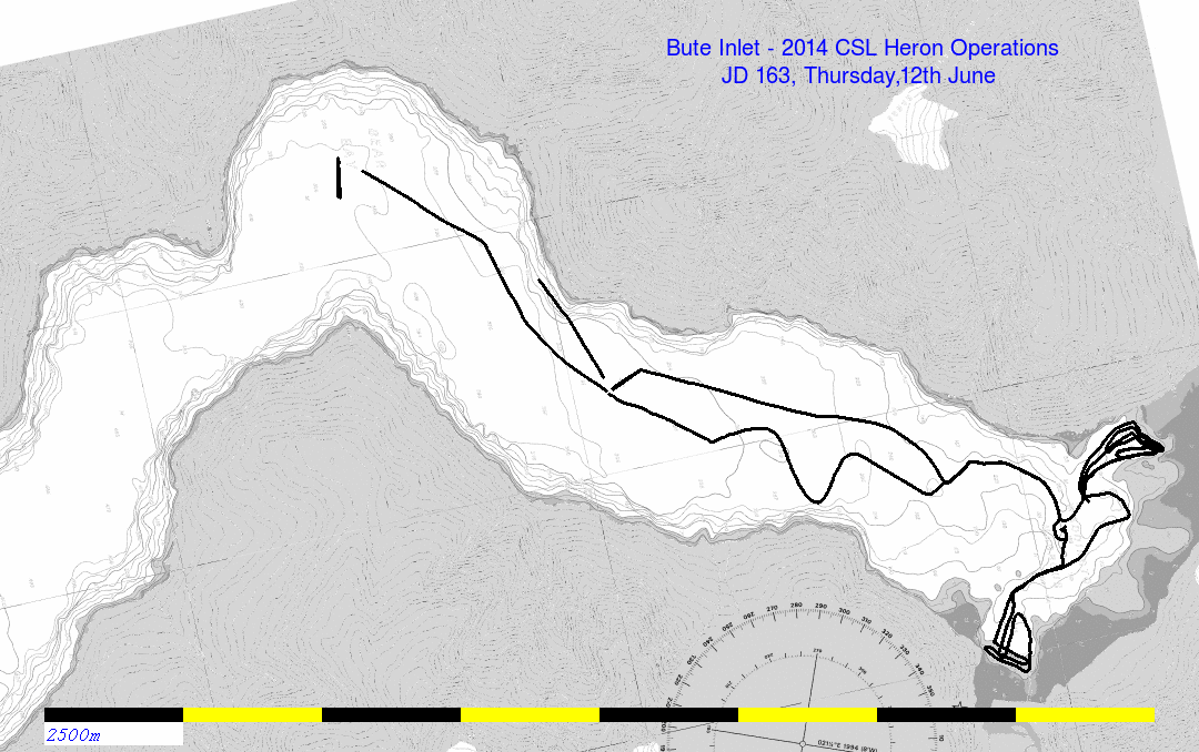
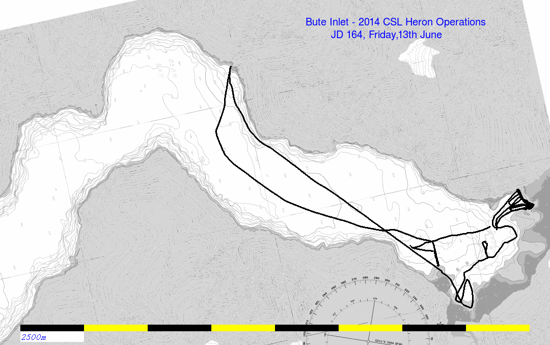
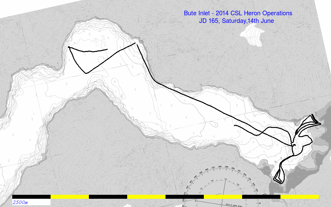
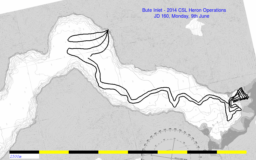 recce - deployed anchors. Surveyed Homathko prodelta |
 |
 |
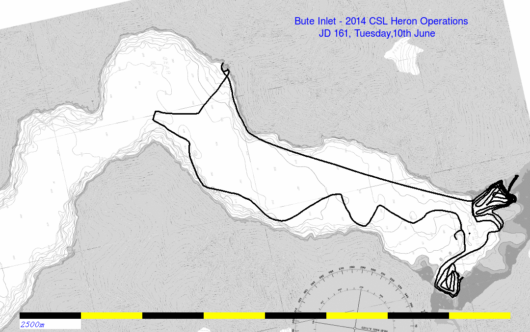 deployed ADCP Surveyed Southgate prodelta Surveyed Homathko prodelta up the Homathko near HW. |
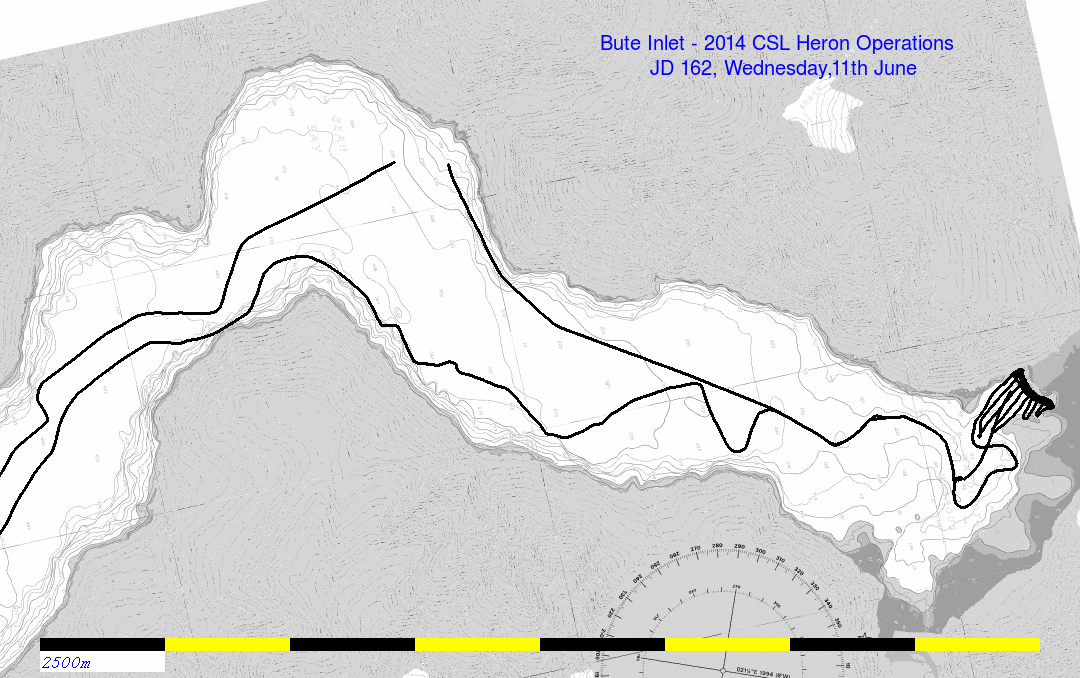
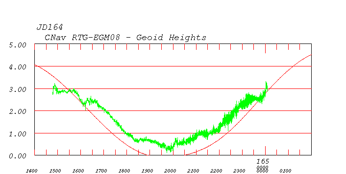
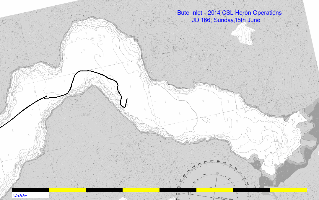
 morning spent running down fjord to Orford Fan. |
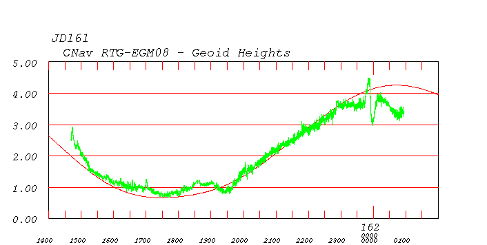
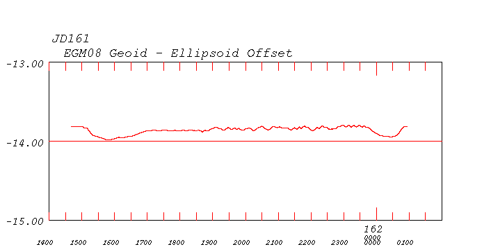
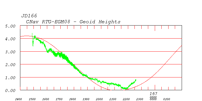
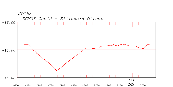 corresponding dip in ellipsoid |
 pickup ADCP, download and redeploy. Surveyed Homathko prodelta |
 |
 |
 pickup mooring just to download hydrophone. Surveyed Homathko prodelta Surveyed Southgate prodelta |
 |
 |
 didn't recover ADCP as too much sea. Surveyed Homathko prodelta Surveyed Southgate prodelta |
 |
 afternoon only as Generator was down in the am. lunchtime dogleg trying to meet the float plane. |
 recovered ADCP Surveyed Homathko prodelta Surveyed Southgate prodelta |
 steaming out back to Powell River |
 and back down the ellipsoid |
 slow transit out with restricted sector along channel. |
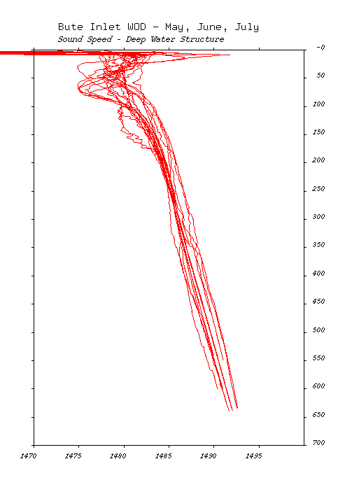
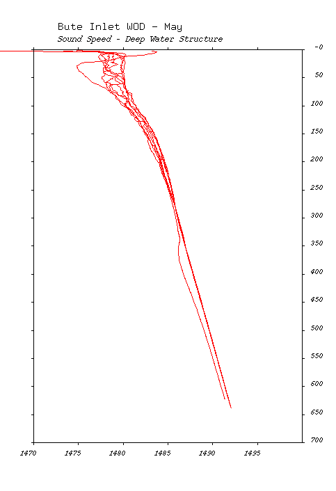
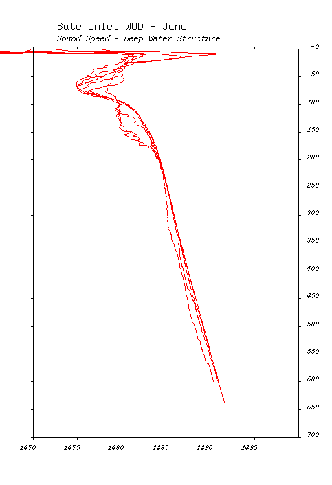
| Summer Sound Speed |
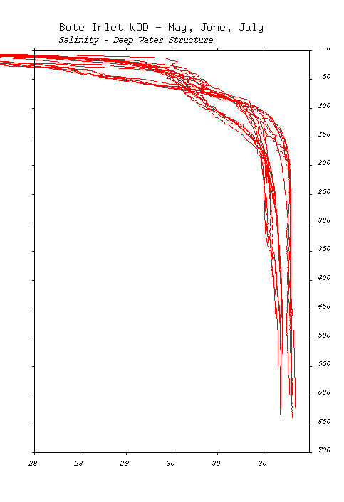
Summer Salinity |
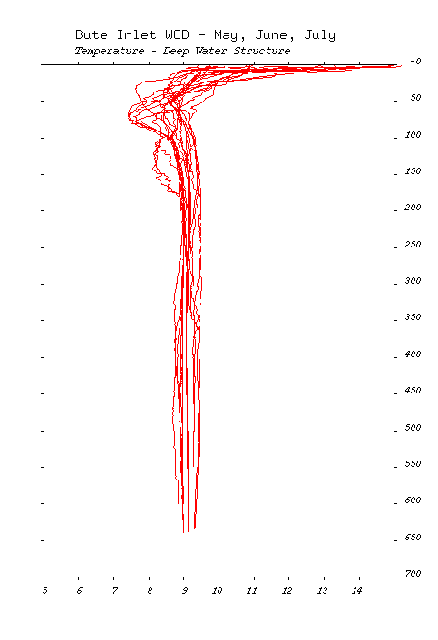
Summer Temperature |
 |
 |
 |
| May |
June |
July |
 |
 |
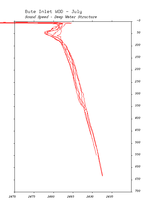 |
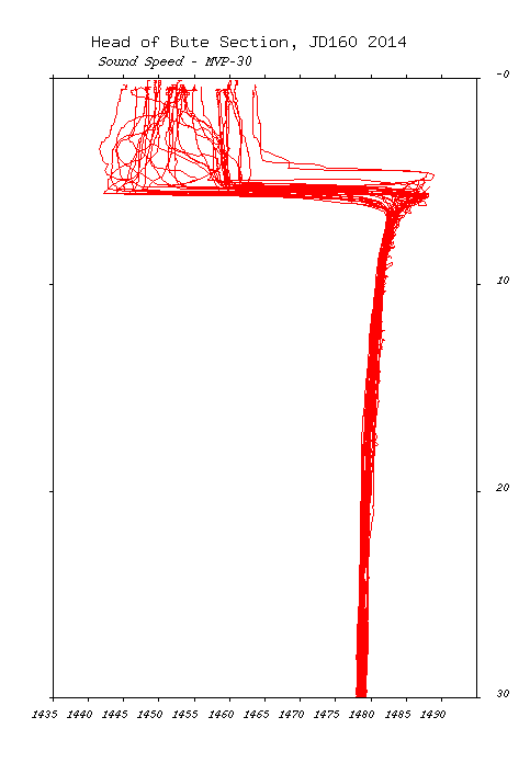
| Sound Speed |
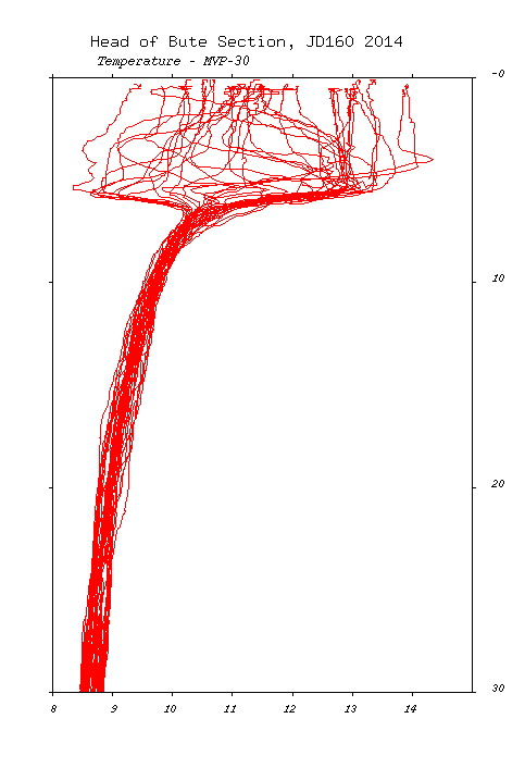
Temperature |
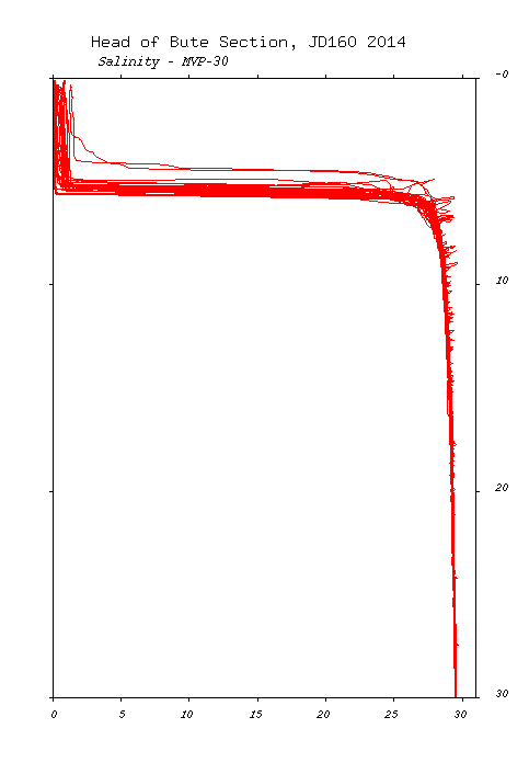
Salinity |
 |
 |
 |