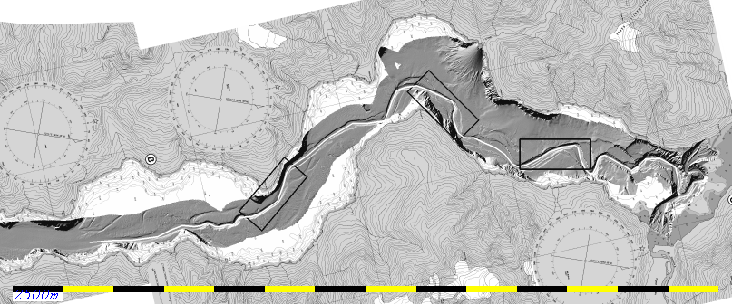
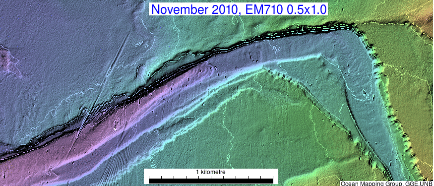
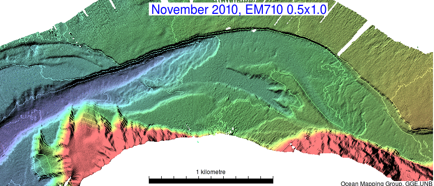
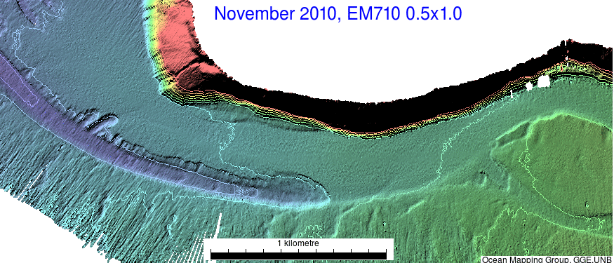
Stills of all 3 surveys.
10m contour interval

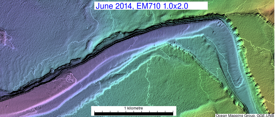
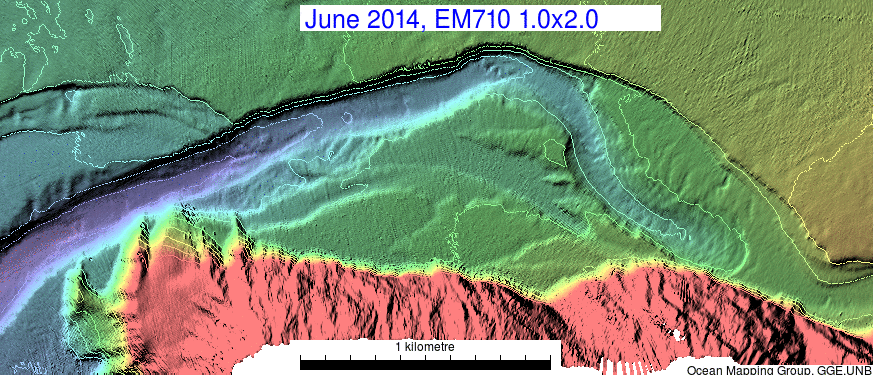
| Animation of 6 year progression
of knickpoints. |
||
|
|
|
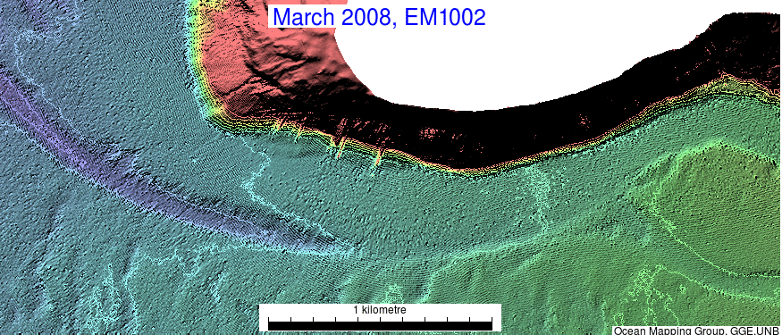
| 300-350m talweg depth. |
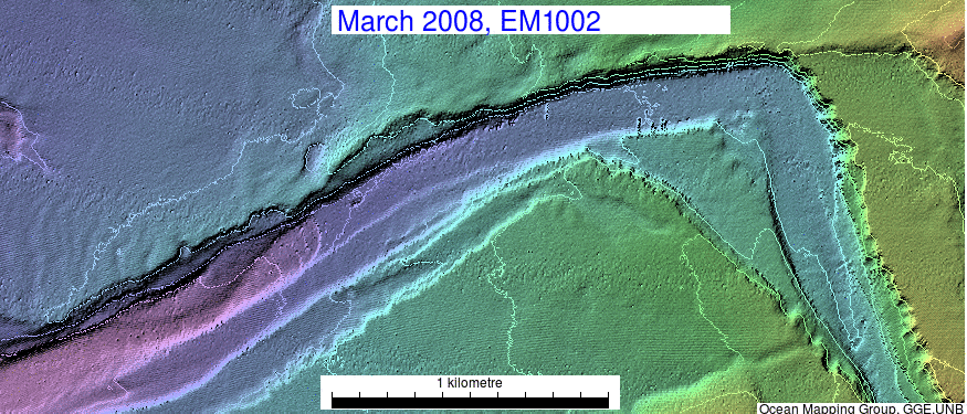
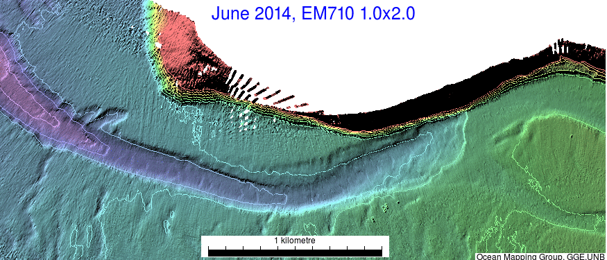
400-450m talweg depth |
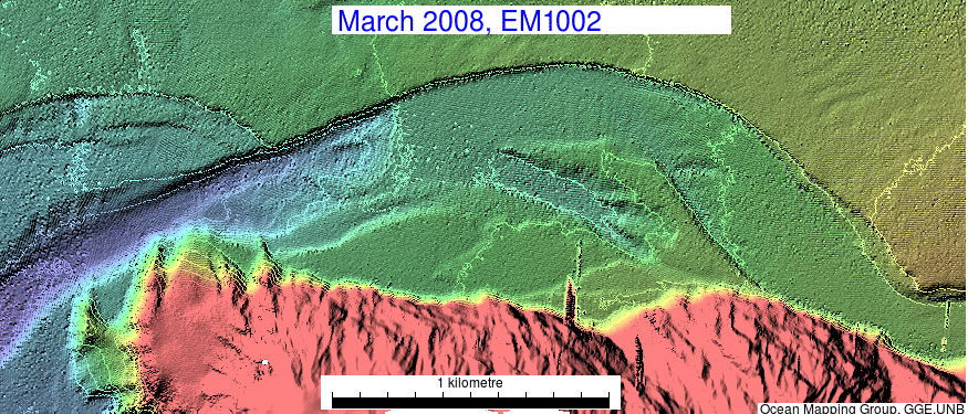
500-530m talweg depth |
Stills of all 3 surveys. 10m contour interval |
||
|
|
|
|
|
|
|
|
|