| back to: Report Index |
Internal
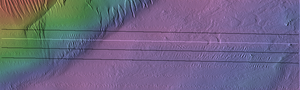
Wave Distortions RV Celtic Explorer Cruise CE17-01 Chief Scientist: Kevin Sheehan, MI July 22nd to August 6th 2017 |
John E. Hughes Clarke Anand Hiroji Jose Cordero Ros Center for Coastal and Ocean Mapping University of New Hampshire |
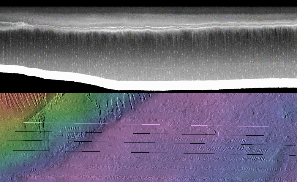 |
Initiation of Soliton Packet This wave appears to have been triggered from the nose of a lateral intrusion along the thermocline. The nose was crossed at 02:26:40 (July 24th, JD205). |
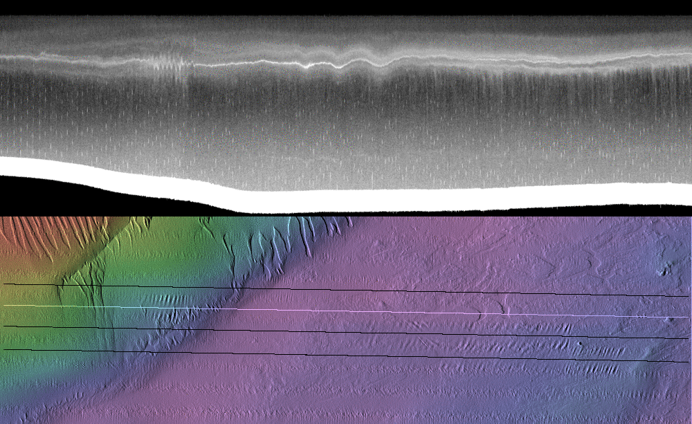 |
Second View of Packet (Wobble A) This occurred at 04:06:26 on July 24th (JD205) as the vessel was steaming west at ~ 7.5 knots. Close up views of this are shown below. |
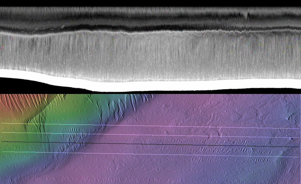 |
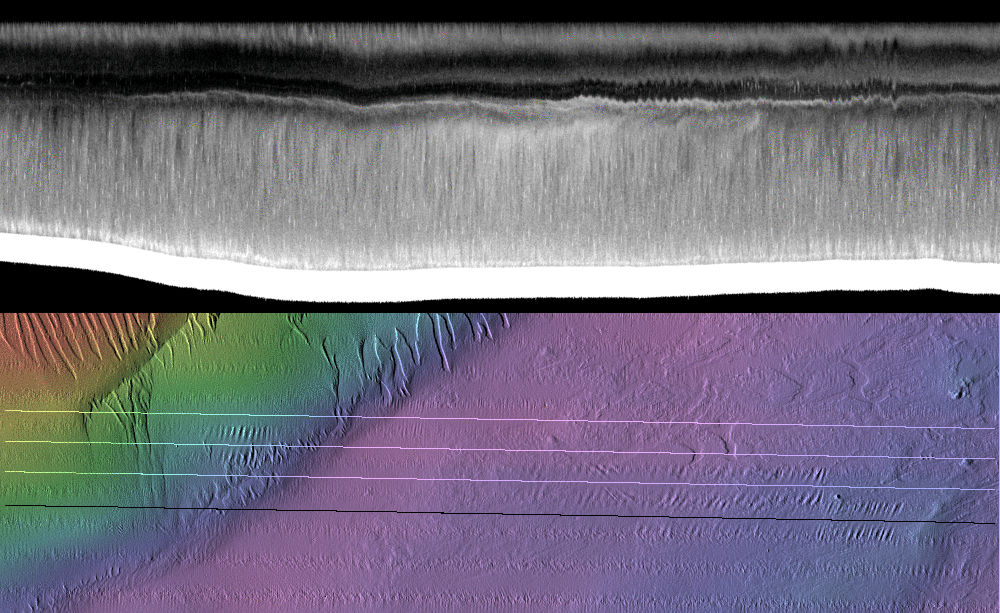
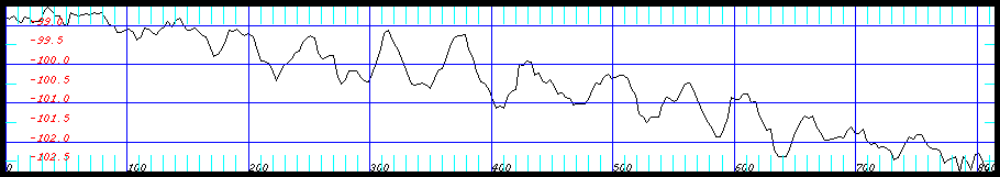
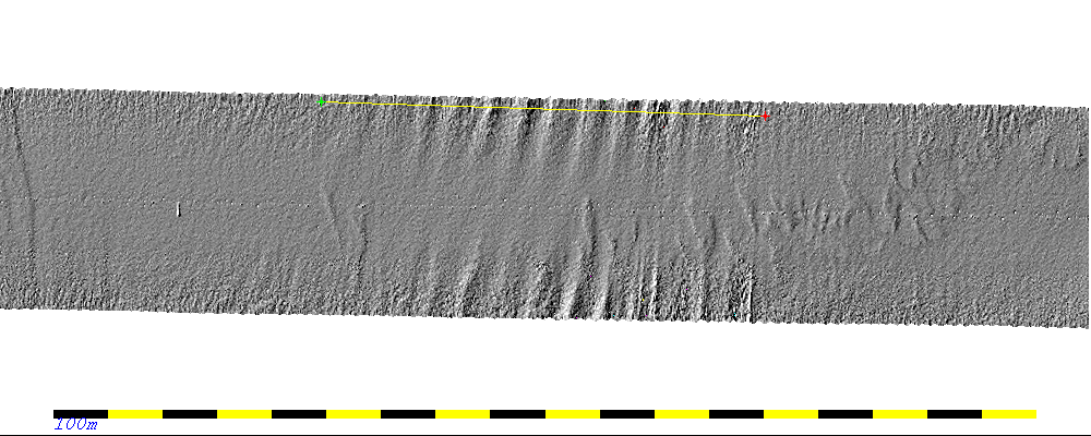
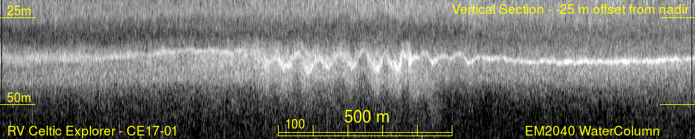
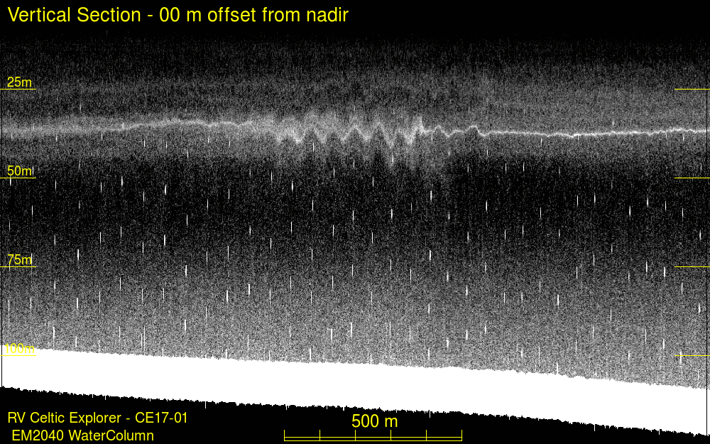
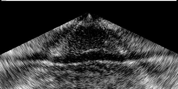
Third View of Packet (Wobble B) This occurred at 07:56:44 on July 24th (JD205) as the vessel was steaming back to the east at ~ 8 knots. About 3 hours later as we had to go to the west end of the line and return. For a close up view of the wave packet, the vertical and horizontal scattering and the seabed distortion, see below. |
 |
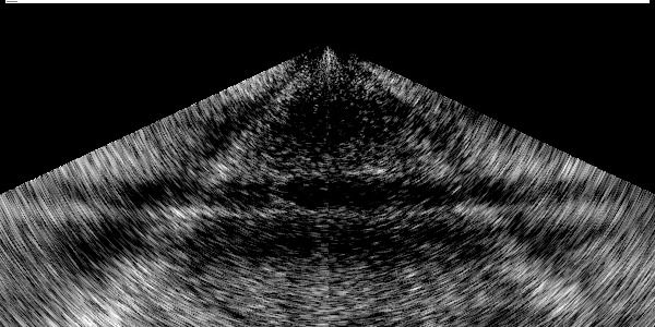
Final View of Packet (Wobble C) This occurred at 08:38:07 on July 24th (JD205) on the return leg going west again. This was only 41 minutes later as the eastern end of the line is not far away. For a close up view of the wave packet, the vertical and horizontal scattering and the seabed distortion, see below. |


 |
 |
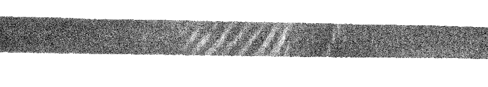
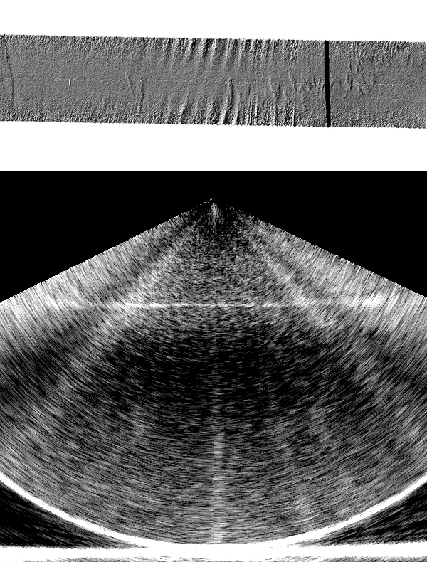
| scattering around the leading
waves of packet B |
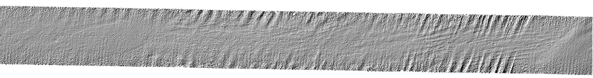
scattering around the leading
waves of packet C |