back to:

Report
Index

Multispectral Backscatter
RV Celtic Explorer Cruise CE17-01
Chief Scientist: Kevin Sheehan, MI
July 22nd to August 6th 2017
John E. Hughes Clarke
Anand Hiroji
Jose Cordero Ros
Center for Coastal and Ocean Mapping
University of New Hampshire
Contents:

Overview:
In 2015 the multibeam mapping sonars on the  Celtic Explorer were upgraded. The original system was an EM1002 that was optimized for continental shelf and upper slope operations (~25m to 750m). With advances in sonar design and the expanded need for the CE to operate both on the inner shelf and in full ocean depths, the decision was taken to install two sonars, an EM2040 (suitable for 5m to ~ 400m) and an EM302 (optimal in the range ~200m to 4000m). The design concept originally envisaged operating just one multibeam sonar at a time, switching between the two sonars at the edge of the continental shelf (~200m).

During the acceptance trials in February 2015, the first author suggested operating both (and potentially all three if the EM1002 could still be made to work) simultaneously to observe the frequency dependence of seabed scattering. The results were very promising. As a result the first INFOMAR mapping campaign with these systems (CE16-01 in September 2016) utilized both the 2040 and the 302. Again the results proved very positive.

Based on the 2016 experience, the decision was made for the 2017 program to try and operate all three sonars. As a result backscatter data are available at 30  kHz (EM302), 95 kHz (EM1002) and 200 kHz (EM2040). Scattering is controlled by a number of factors, some of which are frequency dependent. The surface scattering may be dominated by roughness close to the Bragg wavelength (which scales with the frequency). And shallow subsurface scattering (volume scattering), depends partly on the sediment attenuation coefficient (that controls how deep into the sediment the energy can penetrate) which is strongly frequency dependent.


Preliminary Results:

The images below illustrate the additional discrimination available by examining backscatter at these three widely different wavelengths.

Example Area North:
In this area, the transition from the bank to the north and the northern tip of Labadie bank are seen. To the east, there is a distinctive band running along the main tidal stream direction. As 200 kHz, the flow transverse bedforms and the flow parallel lineations appear at about the same backscatter strength. At 30 kHz in contrast, the flow parallel structures appears much higher backscatter strength. These parallel structures are actually sinuous and probably reflect outcrop patterns.
  The grb sampling confirmed that the bedforms are a coarse gravelly sand whereas the outcrop is represented by larger pebble (plus) clasts. At a 30 kHz wavelength (4.5 cm) the well sorted sands appear smooth, whereas they are rough at 7.5mm wavelengths.

anim 01
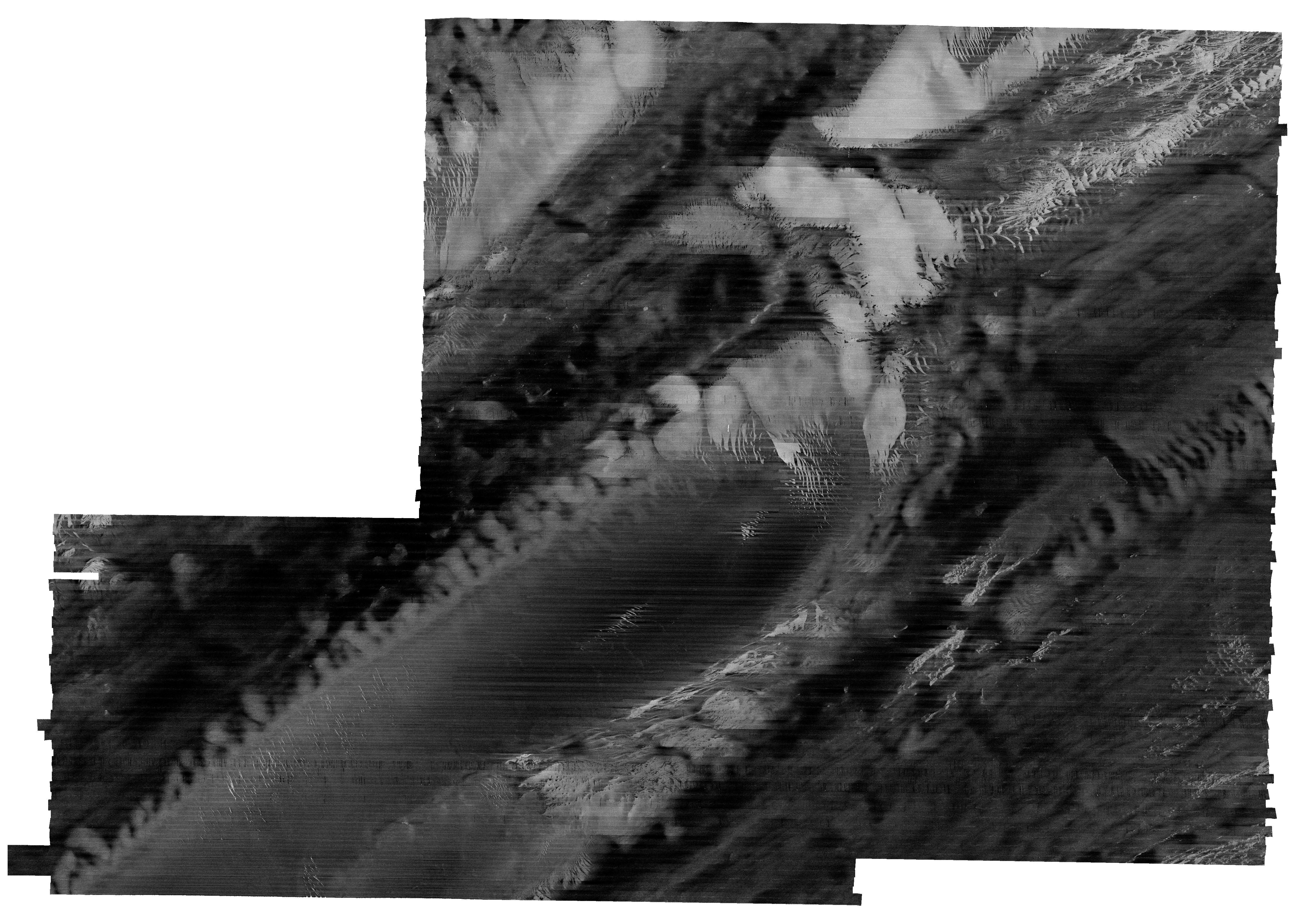
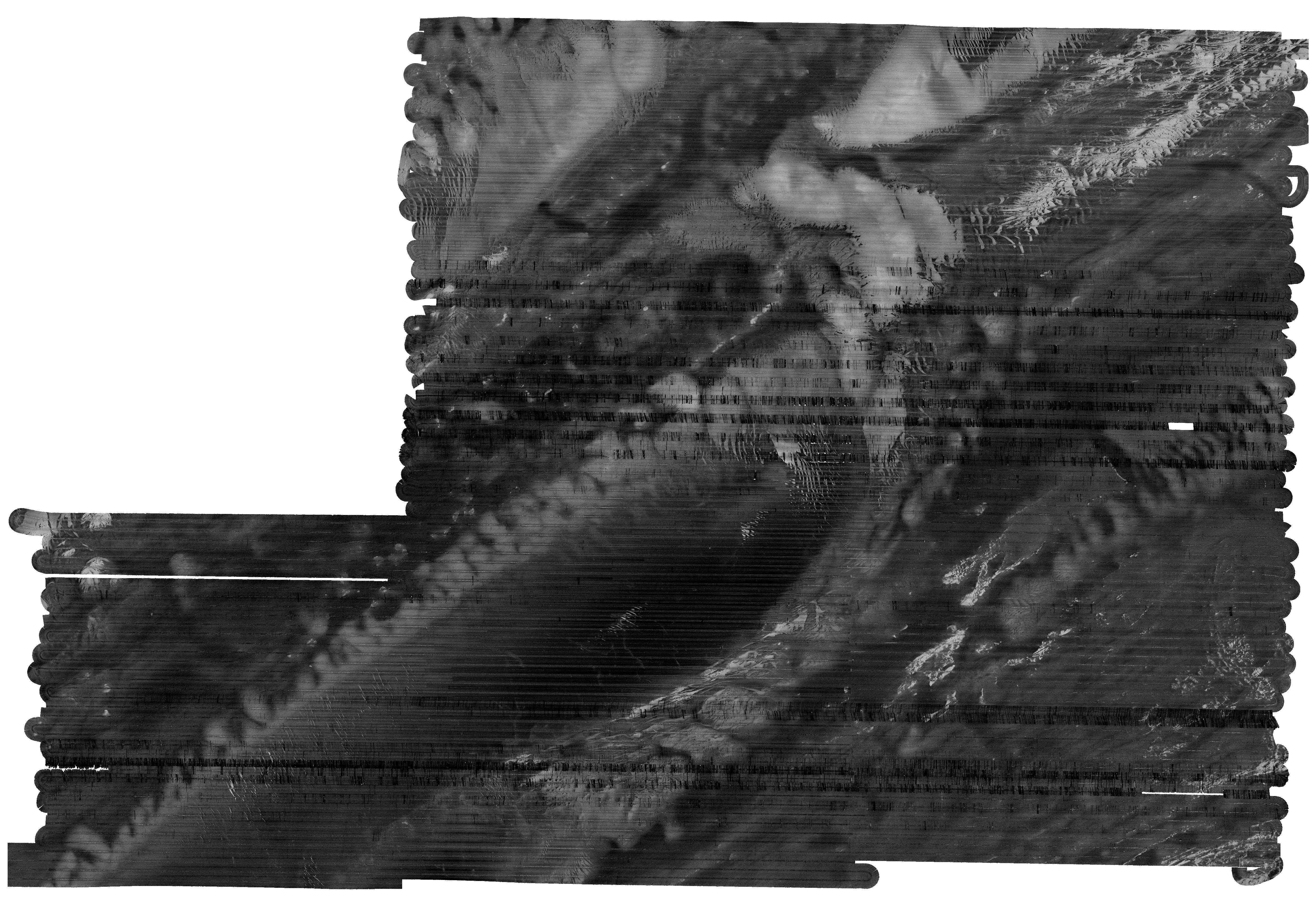
Multispectral Example NORTH


rgb
30 kHz
bathy 200 kHz
95 kHz


Example Area South:
This area, to the east of Labadie Bank is an area with extensive subcrop. That structure is clearly delineated in the  Echoes-3000 sub-bottom profiling. In this region, the EM302 appears capable of seeing through a thin drape to the erosional unconformity below.
While the EM2040 does not see these shallow (?20-80? cm) buried horizons, it is sensitive to variations in surficial sediments where alternations of coarse well sorted sand inter-finger with stiff sandy muds. This variation is completely invisible at 30 kHz.

oanim 01
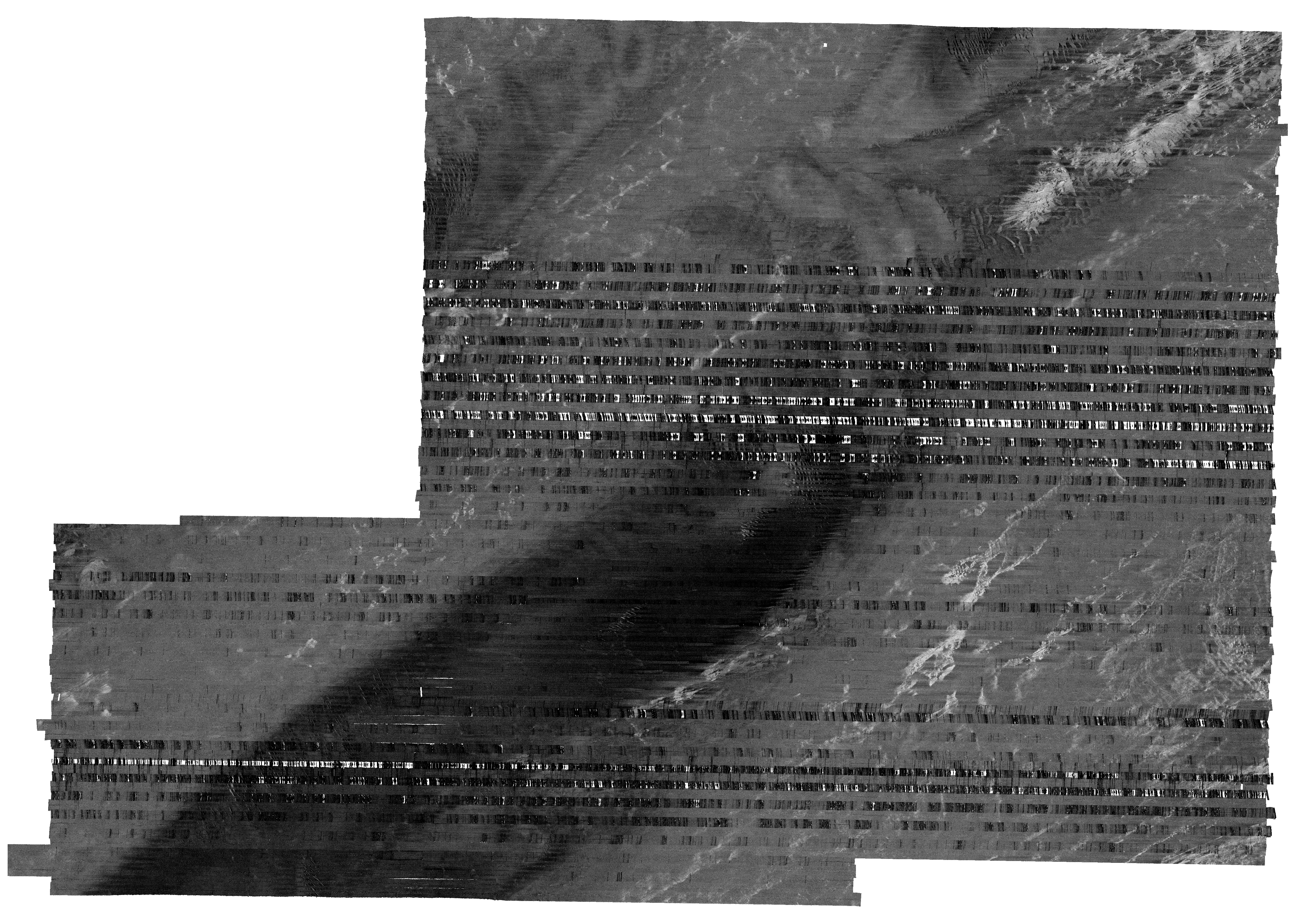
Multispectral Example SOUTH


rgb
30 kHz
bathy 200 kHz
95 kHz


Whole Area Coverage:

The images below show the results achieved for the entire focus area of the first leg of the 2017 mapping (CE17-01). The area is 50 km by 35 km.

ms
2040
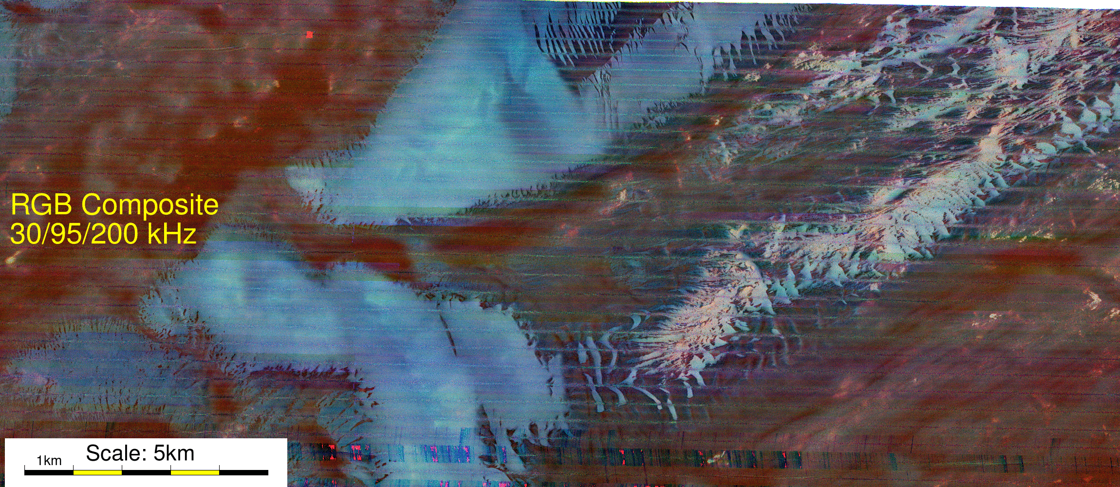
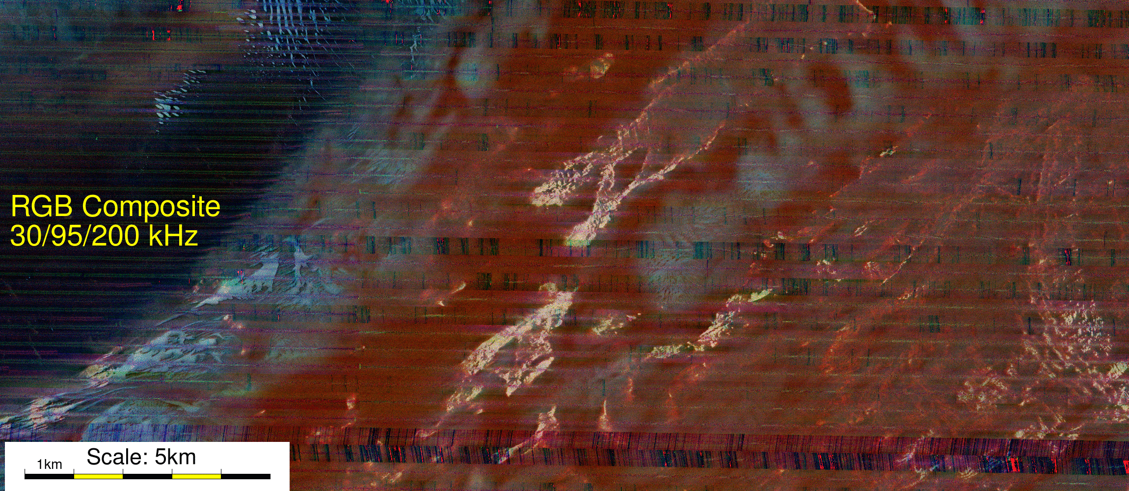
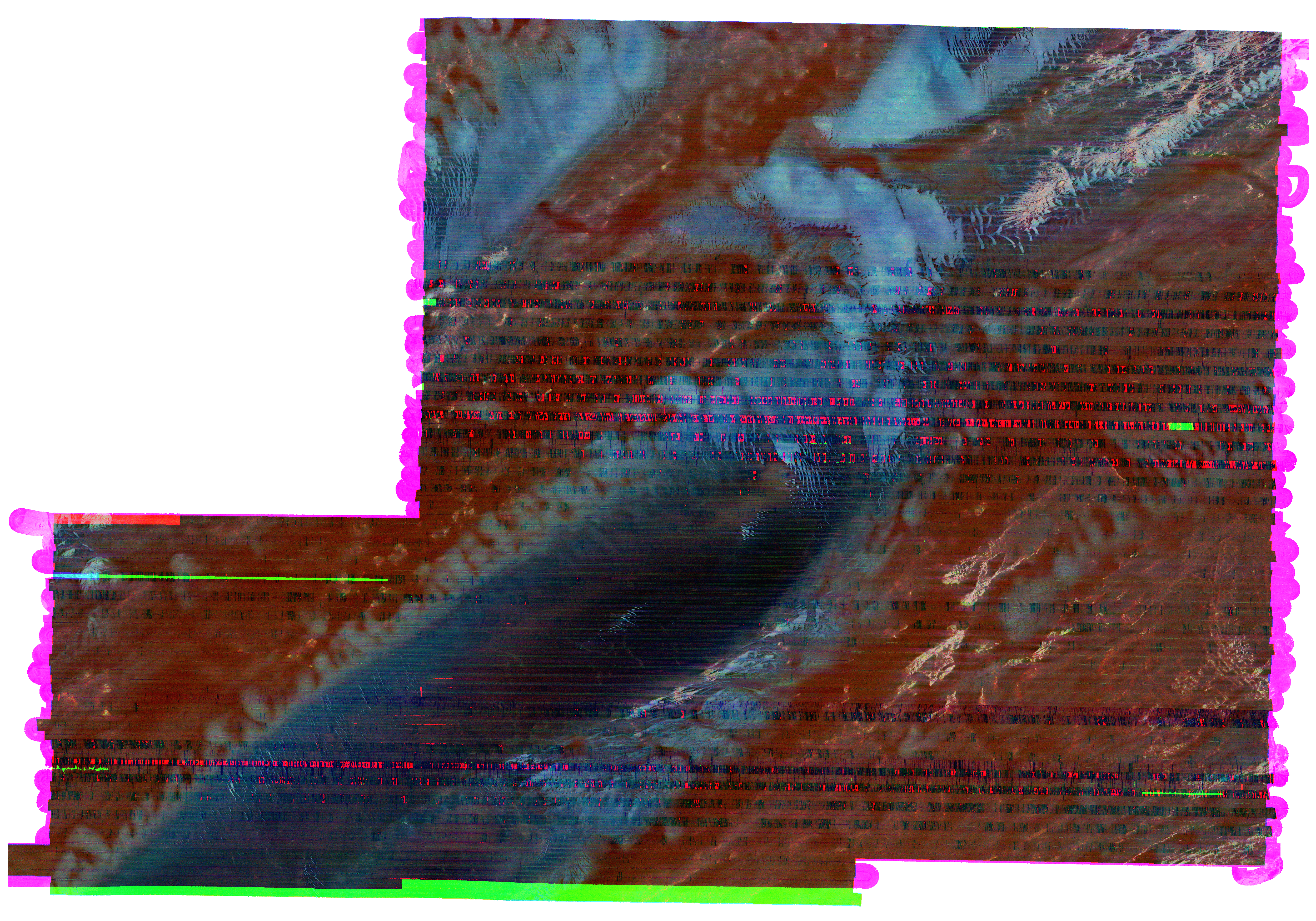
Multi-Spectral Combination
(R: 30 kHz, G: 95 kHz, B: 200 kHz)
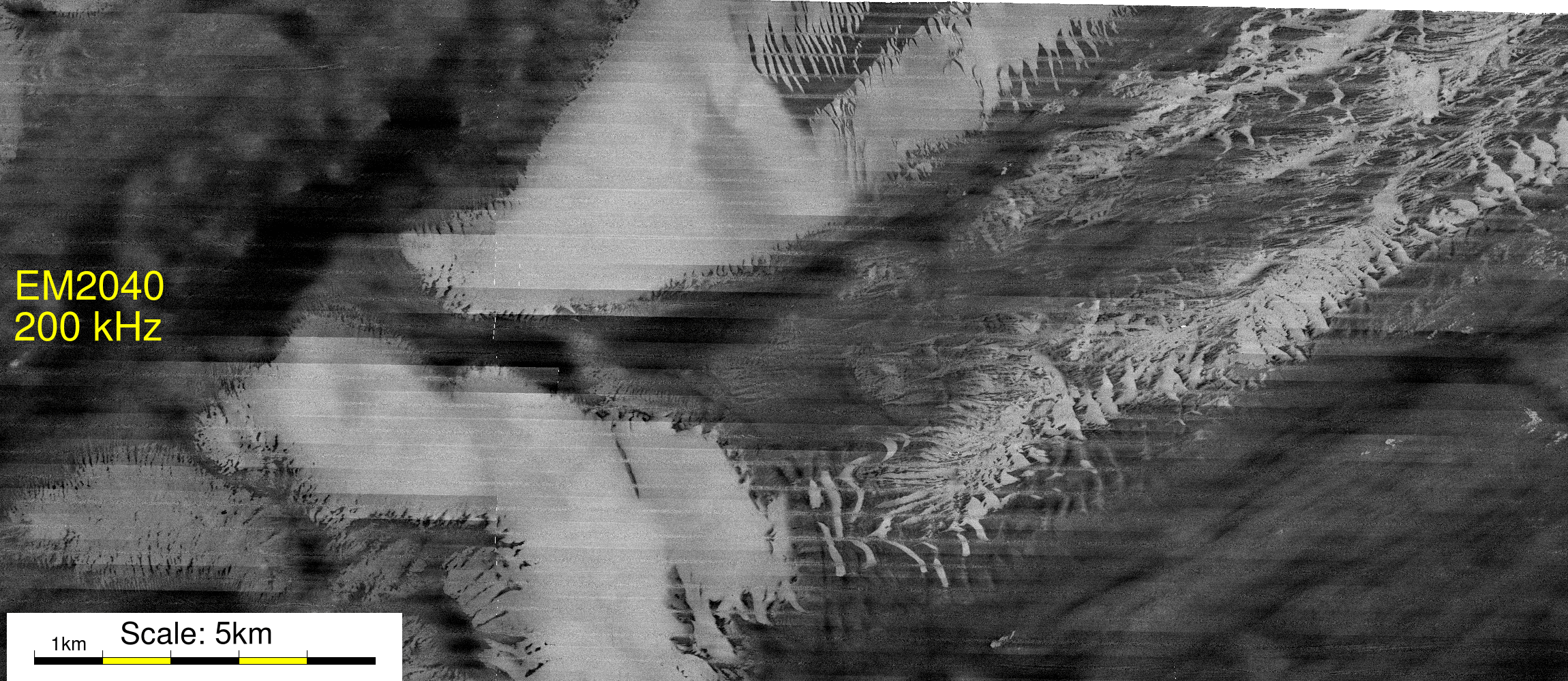
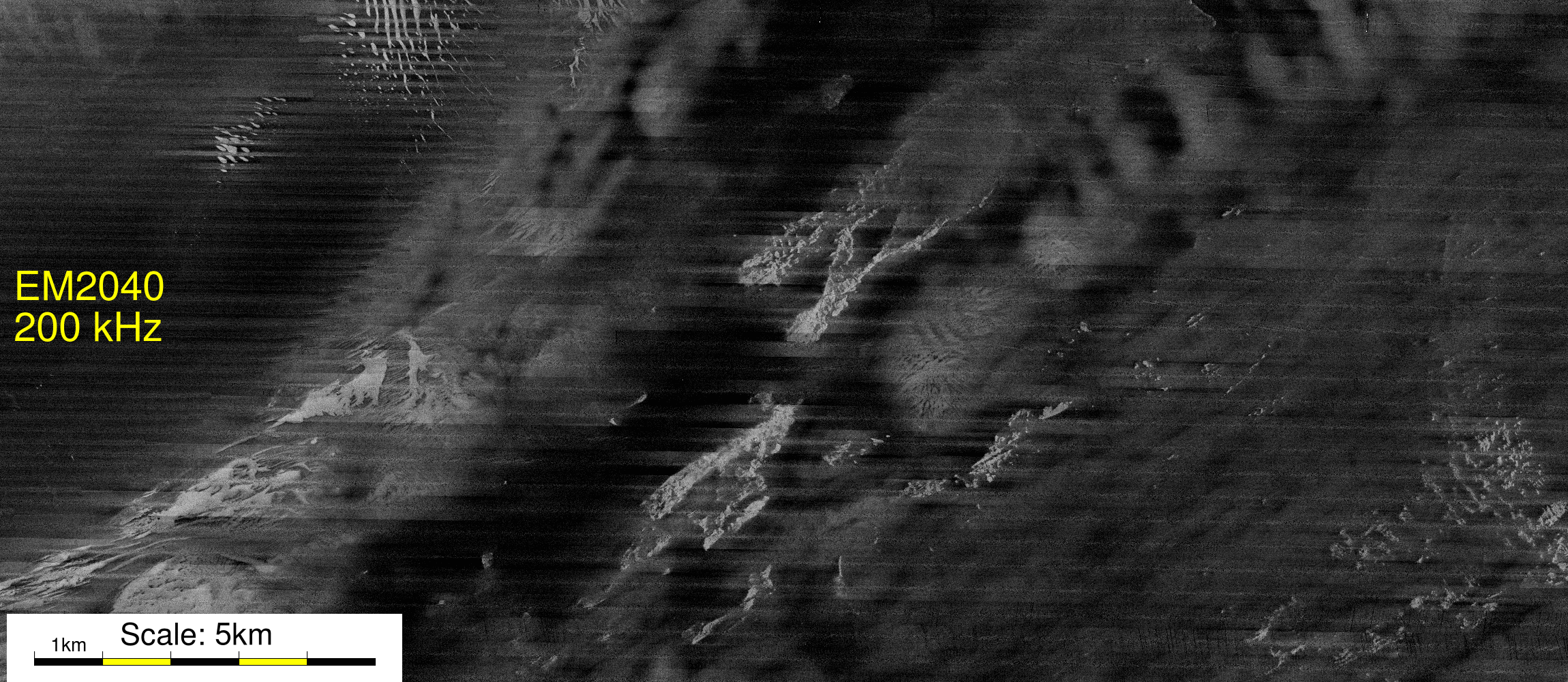
EM2040 - 200 kHz
"blue"
1002
302
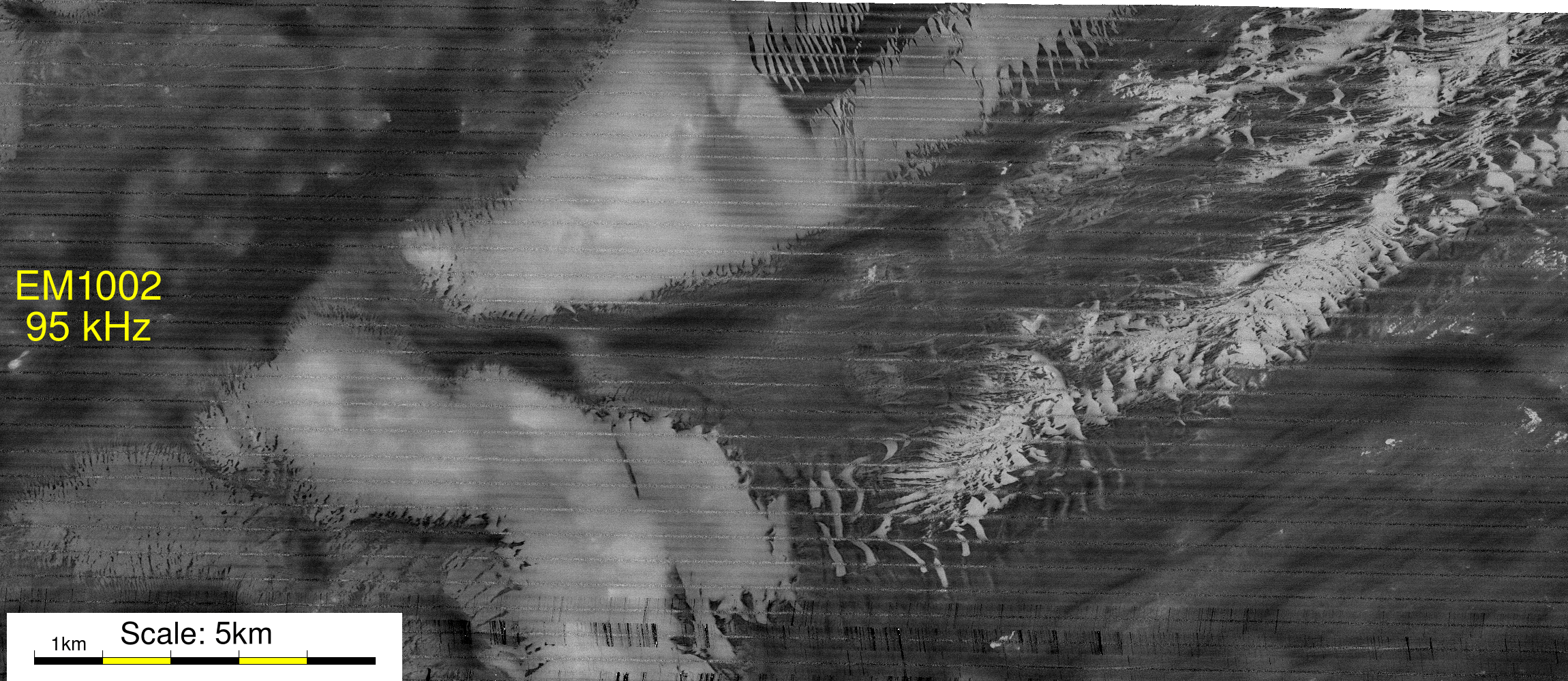
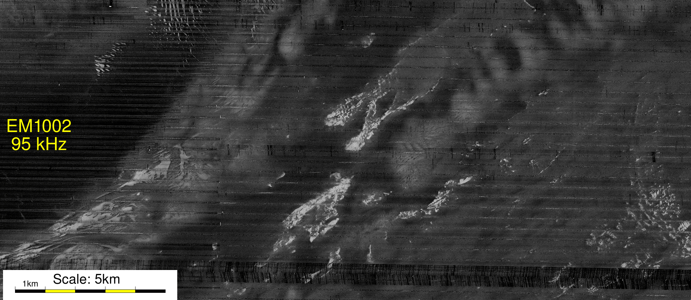
EM1002 - 95 kHz
"green"
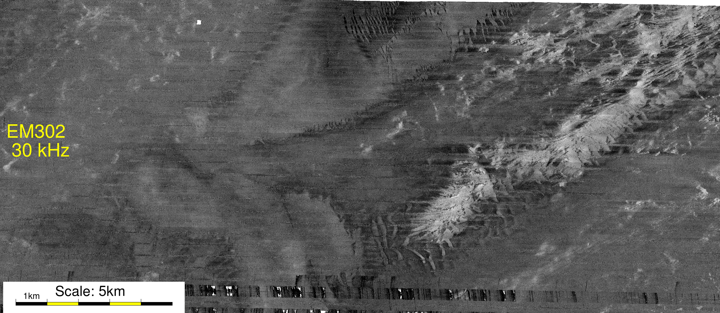
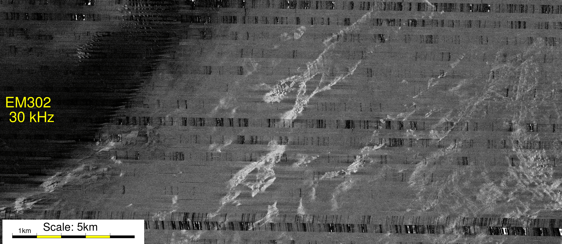
EM302 - 30 kHz
"red"


Recommendations

Based on the experience of this mission, the following comments  and suggestions are put forward:


page composed offshore --  JEHC