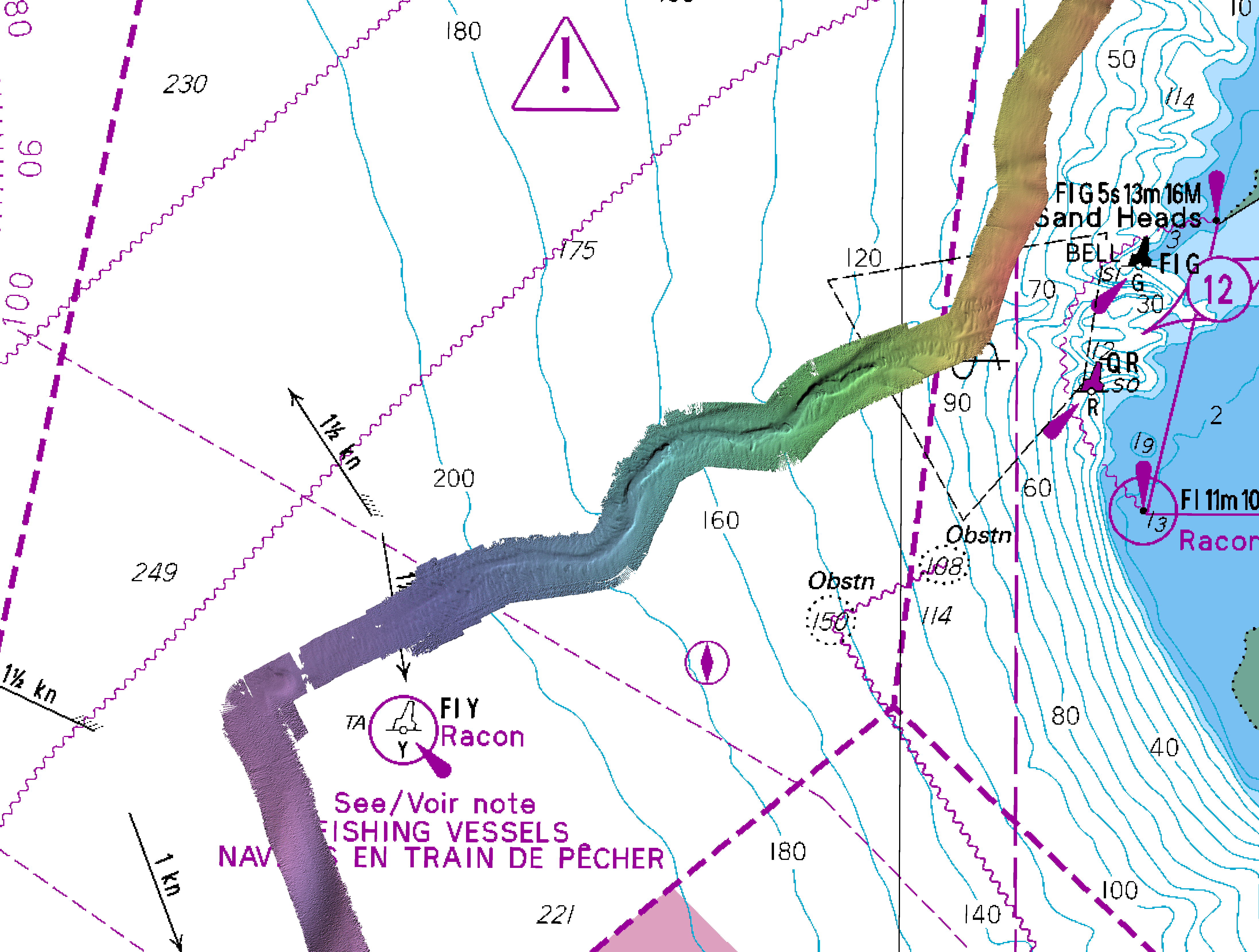
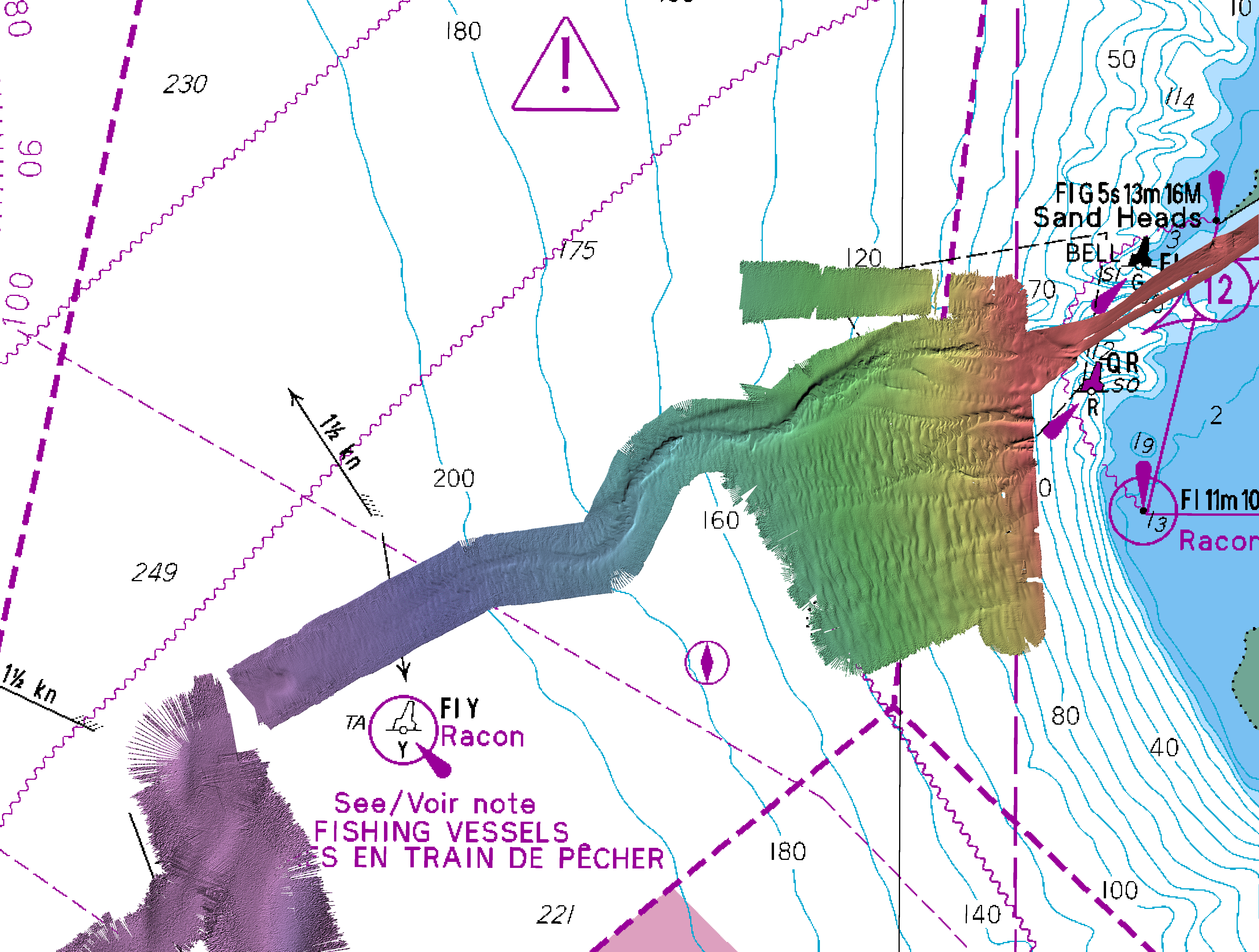
Spring
2018
JD095
April
5, 6th
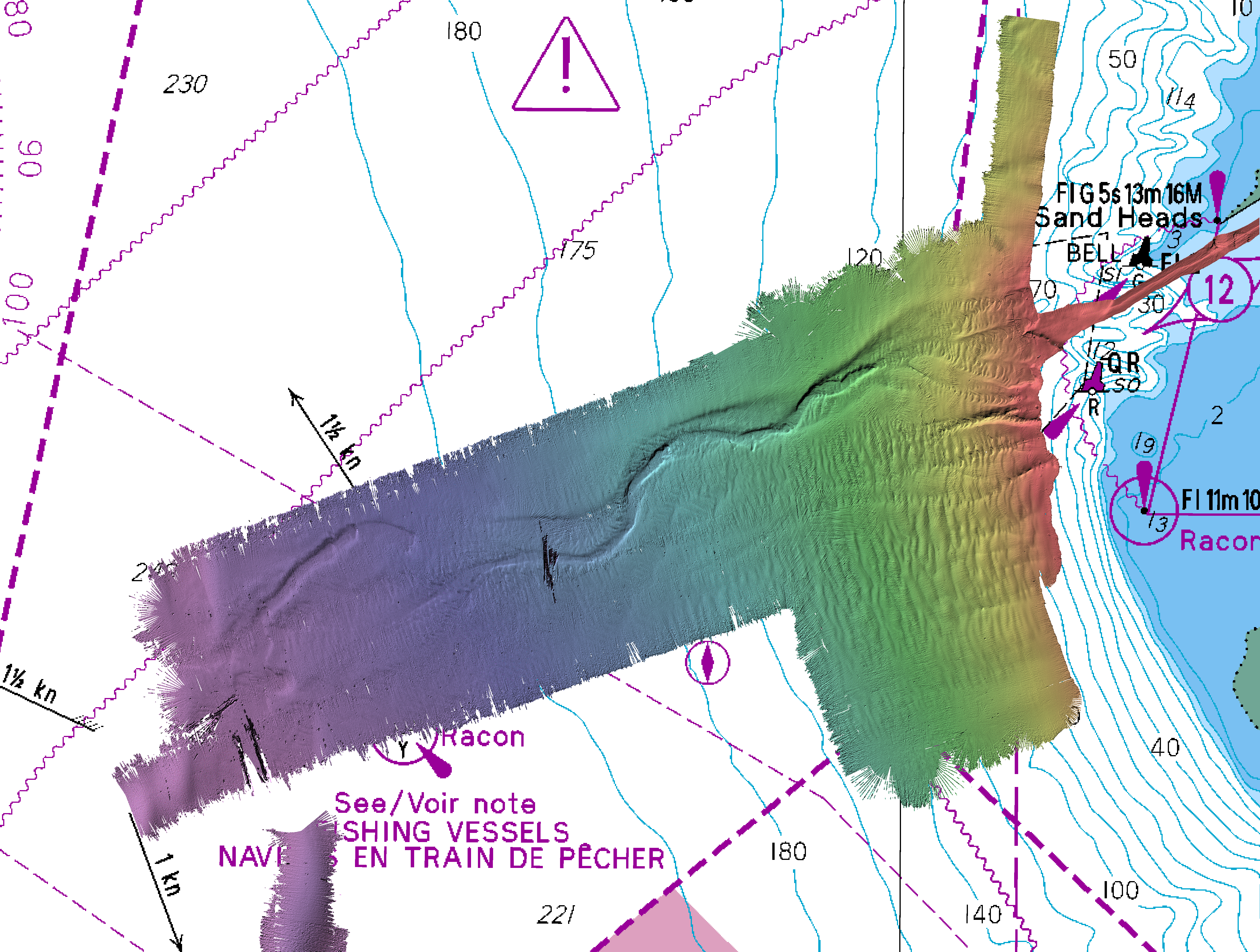
reduced using observed Sand Heads tides.
there are previous Heron surveys:
2017
2015
2013
2012
but I don't have the data with me right now.
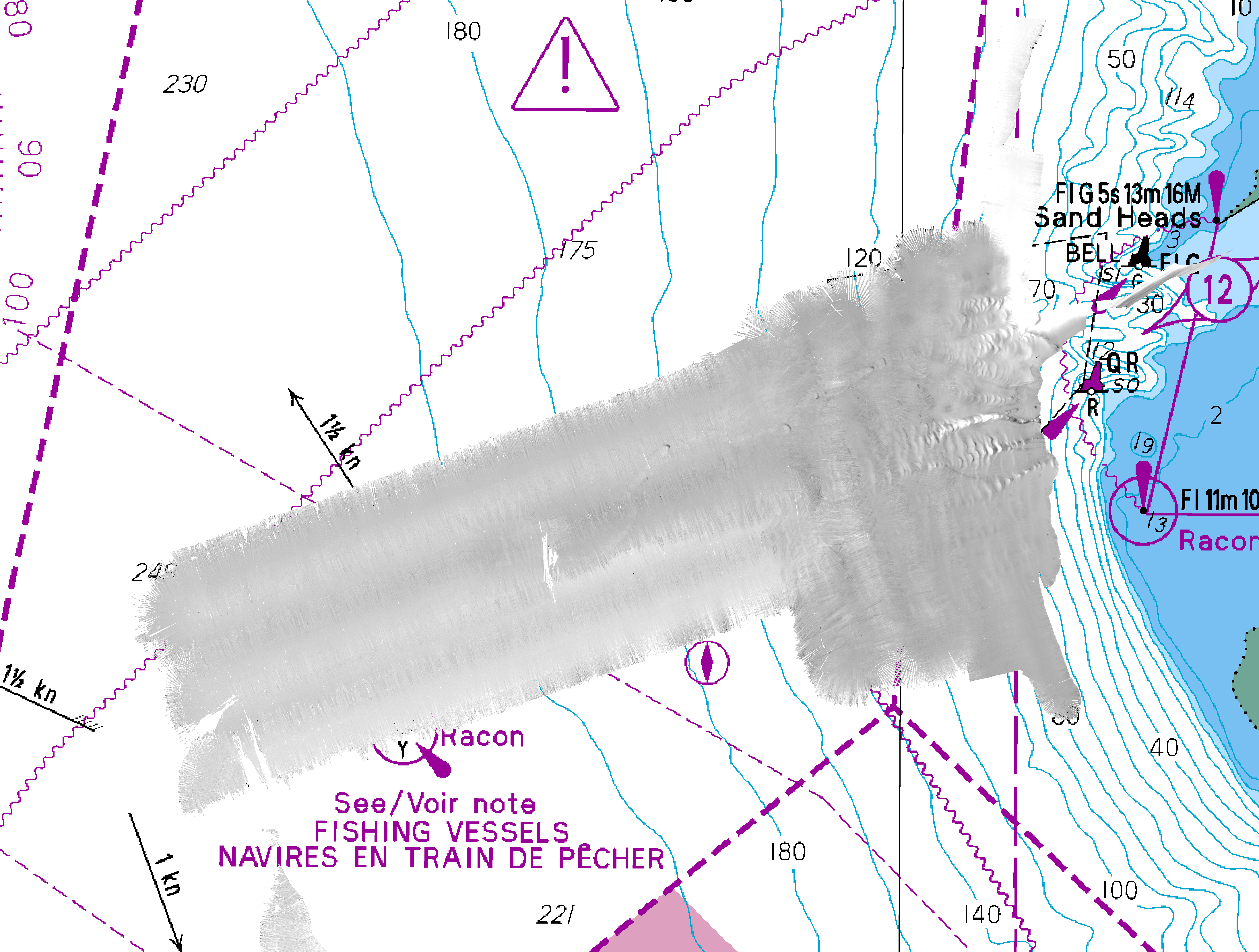
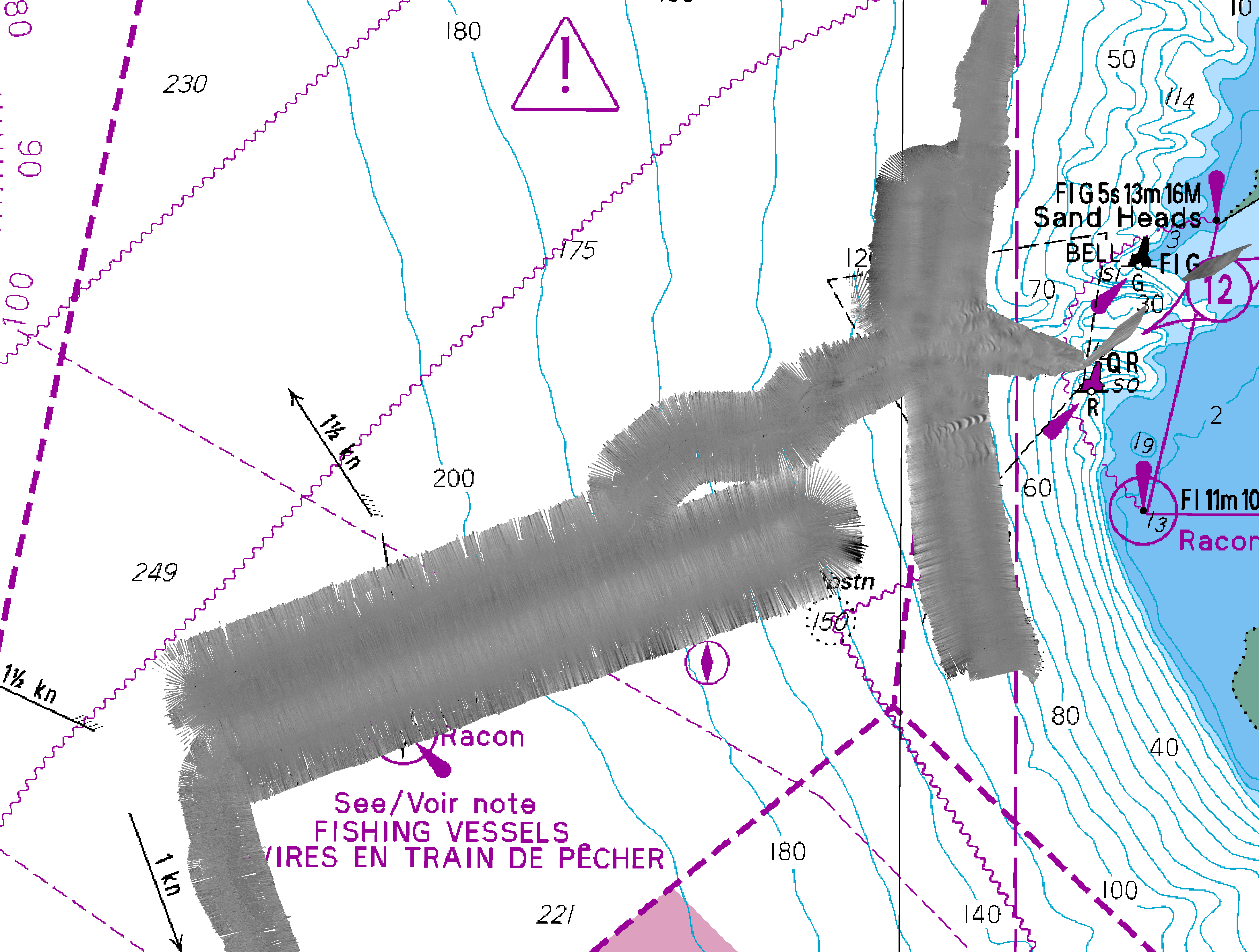
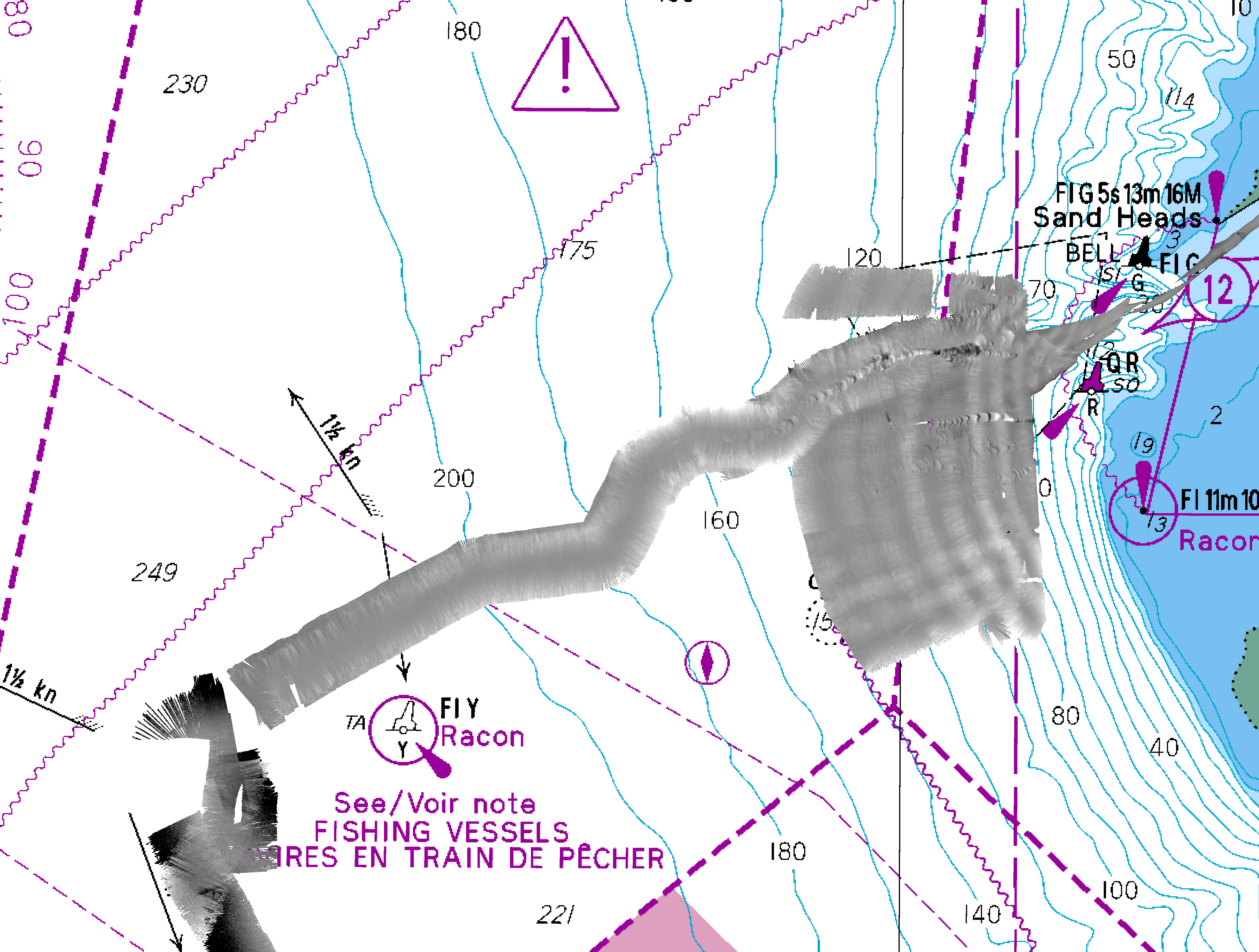
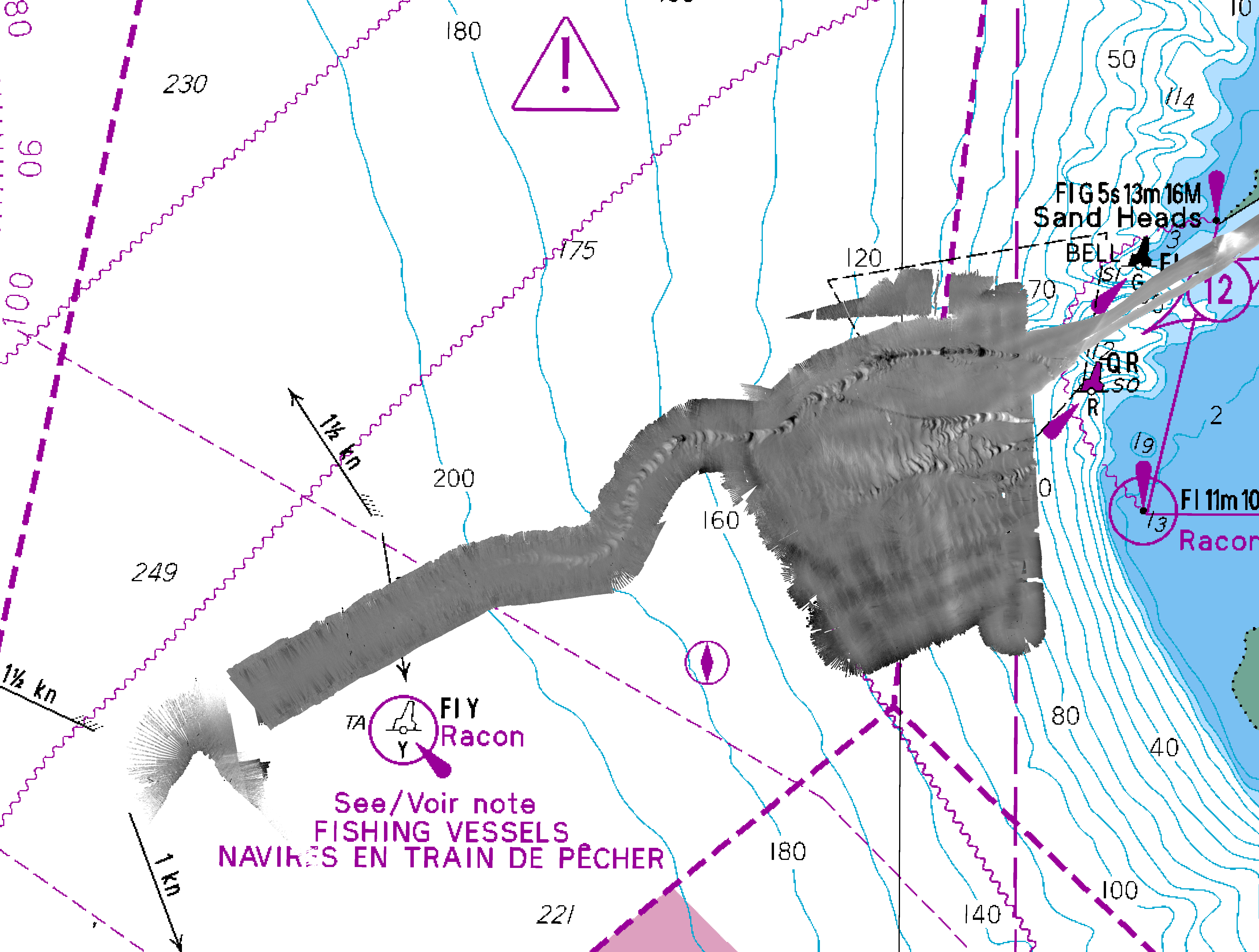
All difference maps have a greyscale that extends from
-4m (black) to +4m (white)
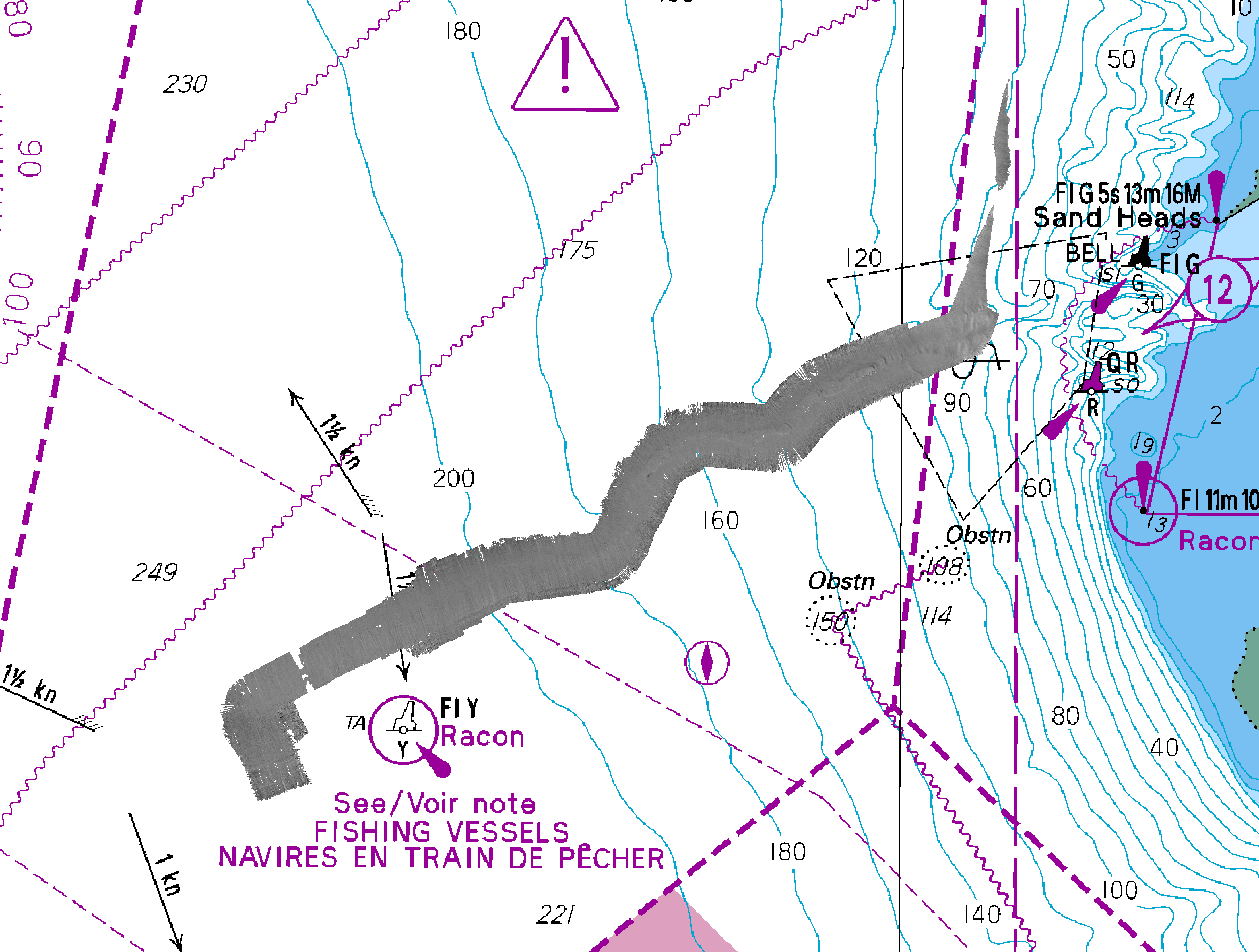
Fall
2018
JD291
October
17, 18th
reduced using WebTide model
+ve bias because the spring survey had a bad SV extension
below 100m (MVP max depth)
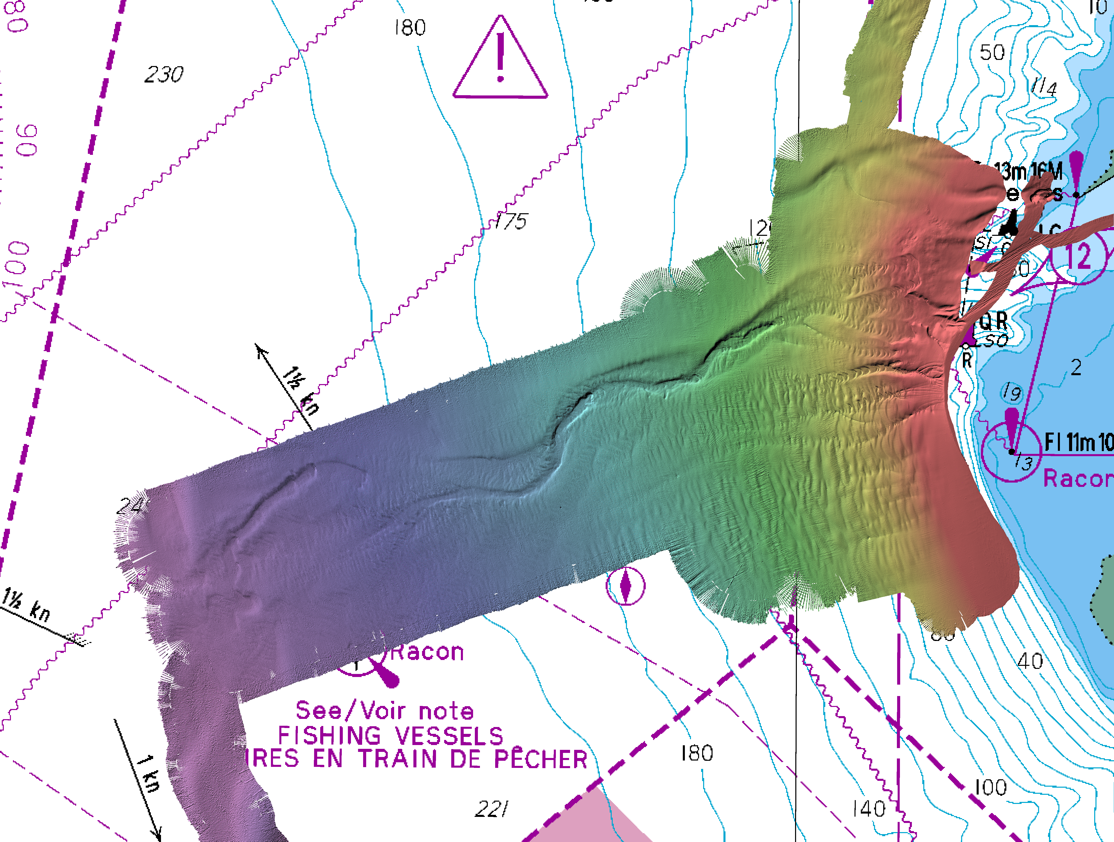
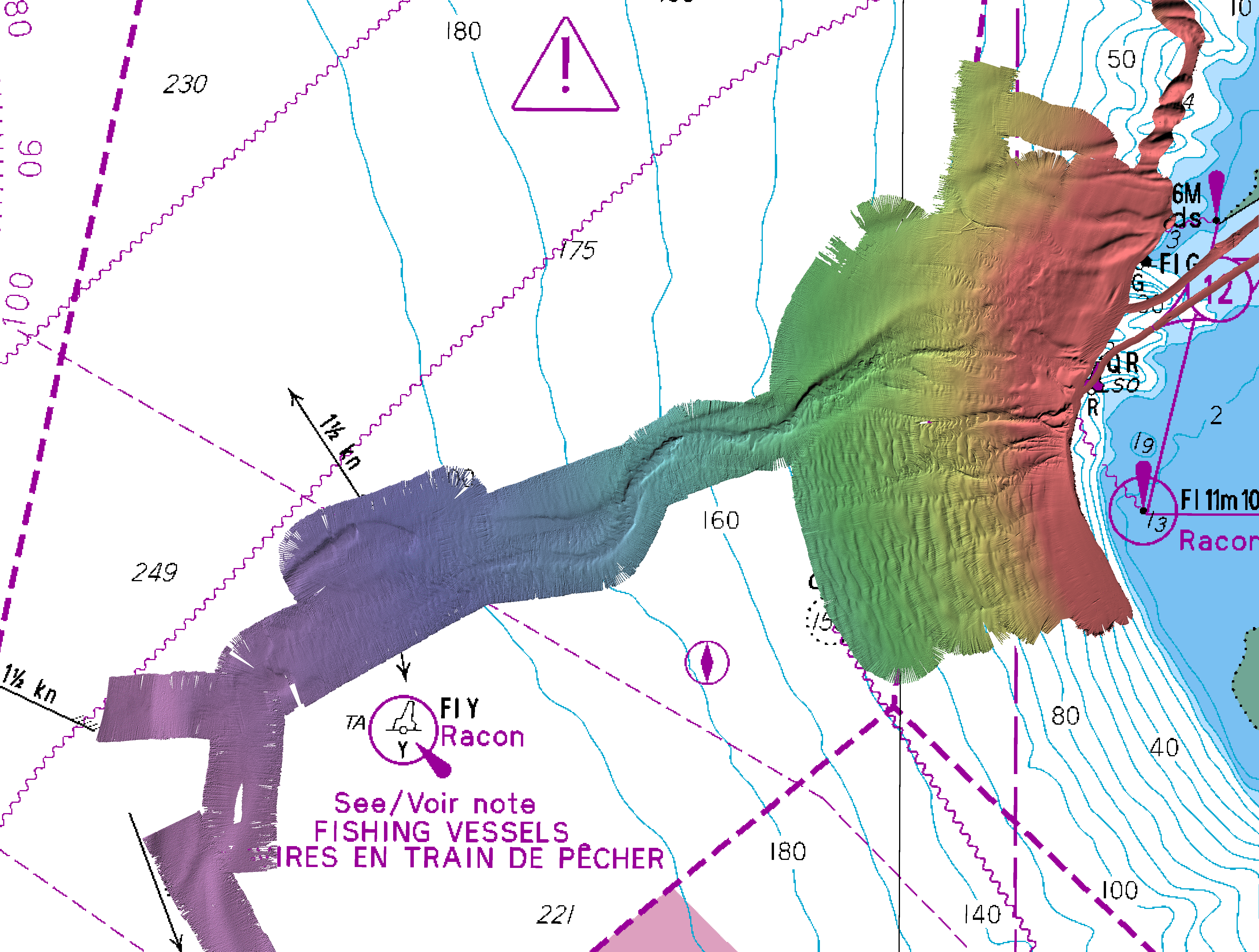
Spring
2019
JD110
April
20, 21st

reduced using WebTide model
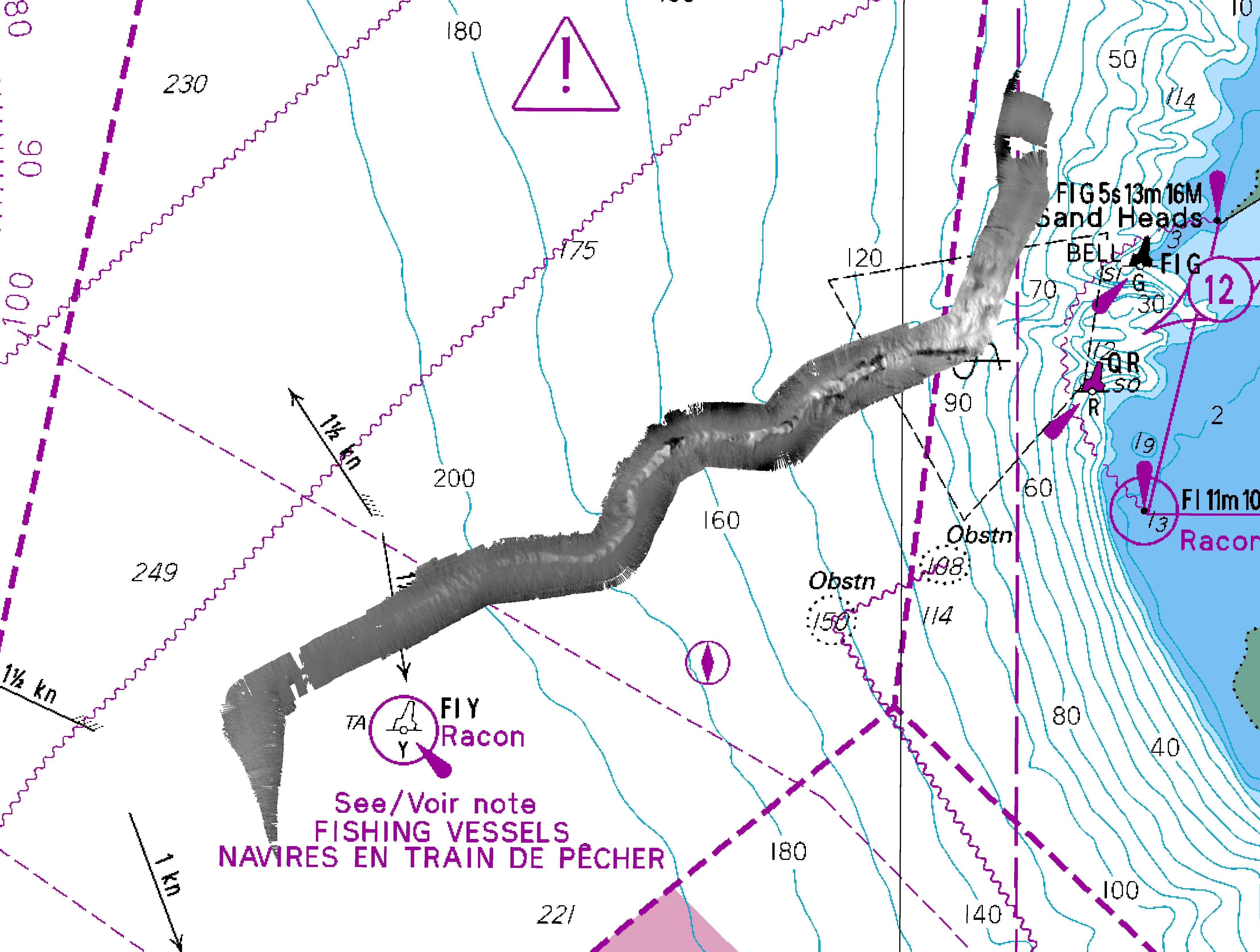
Fall
2019
JD279
October
6th
-weather too bad to do more than canyon
reduced using WebTide model
....... PANDEMIC DATA GAP .......
apparently there was:
- a summer 2020 survey (Vector?)
- but no summer 2021 survey (?)
Winter
2021
JD340
December
14-15-16th
reduced using Sand Heads predicted tides
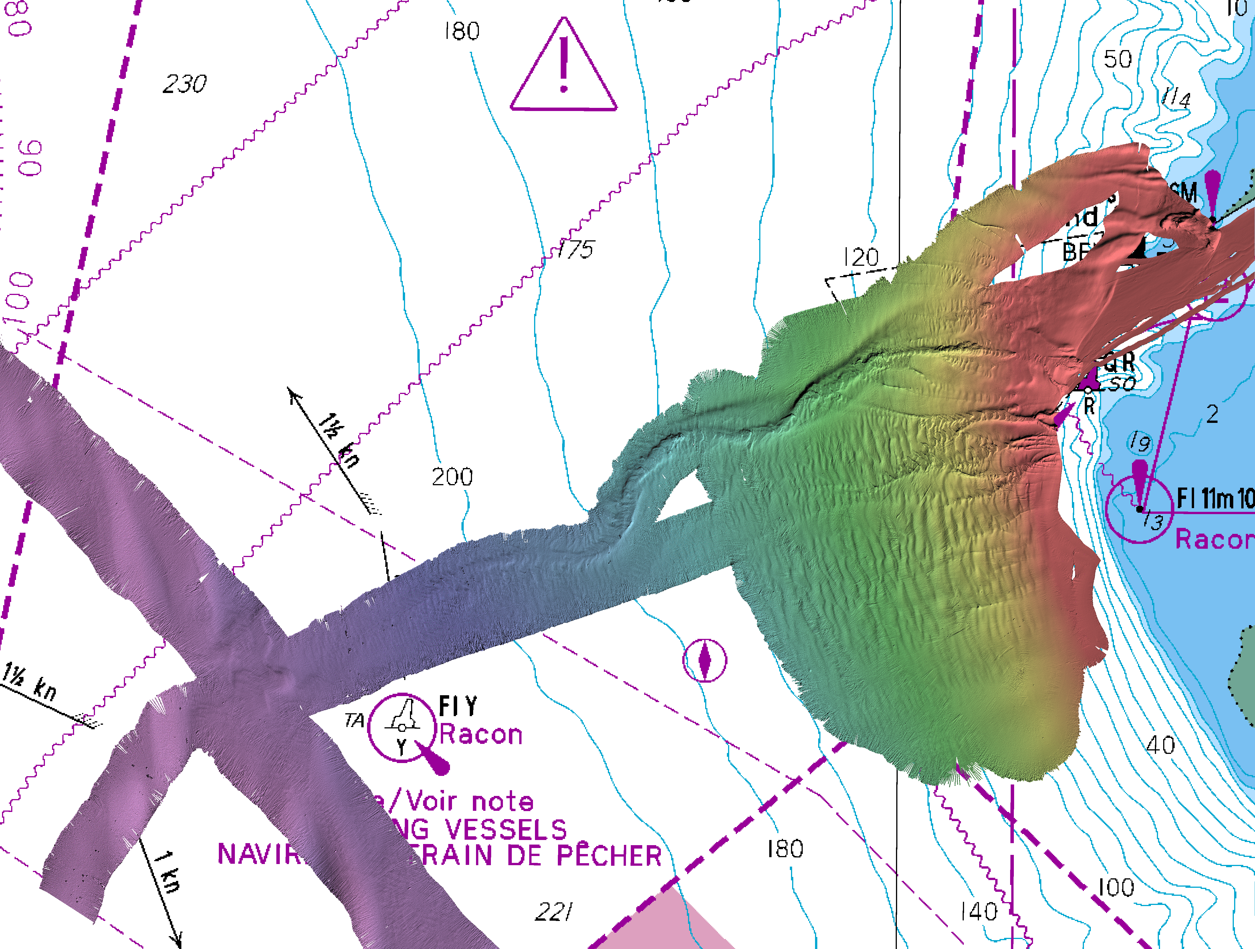
I'd like to believe the distal Fraser Canyon activity (first since 2012)
is due to the 100 year flood but could be anytime in summer 2020/1
Spring
2022
JD140
May
23, 24,25th
reduced using Sand Heads predicted tides
striping is due to kmall PU bug not applying surface sound speed
(needs reintegrating SVP)
mid- summer
2022
JD17X
June
26,27,28,29th
reduced using Sand Heads predicted tides
ASCII lat--lon-depth file
2m grid spacing
surprisingly active distal Fraser canyon..