Squamish Moorings... 2017...
Quick web site for Carlos....
What are the spacing geometries:
Upstream
Downstream
4 buoys - A-B-C-D (A is on top)
A-B 4m
B-C 3m
C-D 3m
D to seabed below ---
~50m
4 buoys - A-B-C-D (A is on top)
A-B 3m
B-C 4m
C-D 3m
D to seabed below ---
~60m
Where are they:
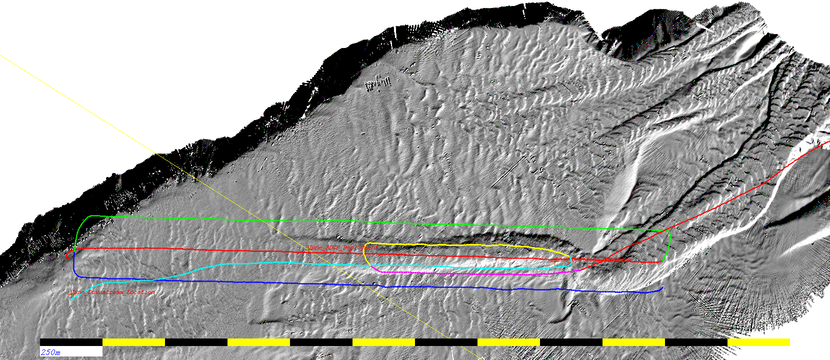
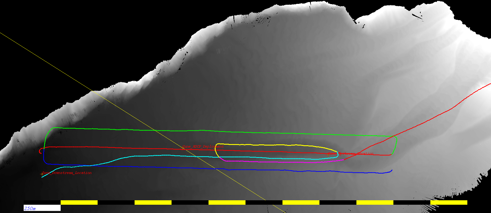
thse maps show the shiptracks in July when we were both mapping the channel, and potentially hunting for the upstream targets.
ASCII file containing the coordinates in June
.
And if you want a suitable r4 or sun image to use with swathed
here they are
:
As laid, June 2017:
Upstream
Downstream
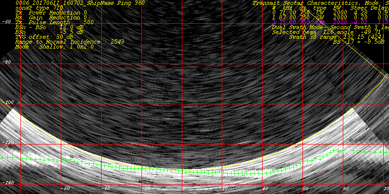
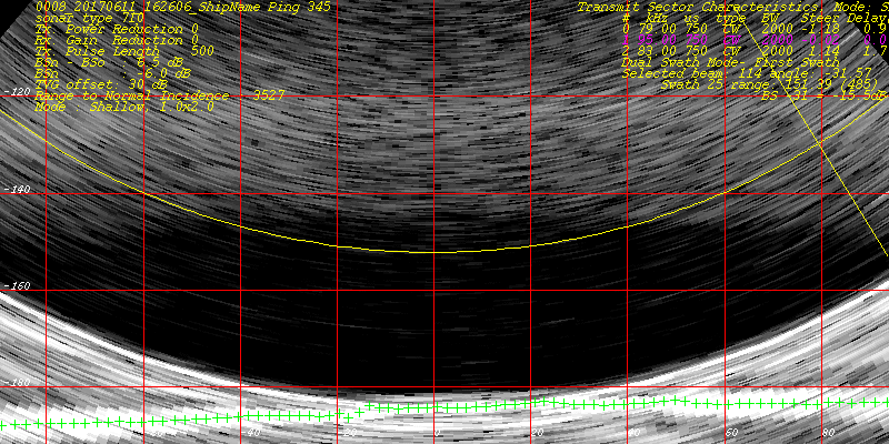
EM data for reanalysis:
(tar bundles)
-
rawEM
-mergedEM
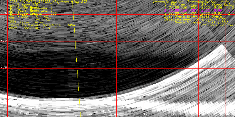
Recovery Attempt, July 2017:
Downstream:
Downstream Data files:
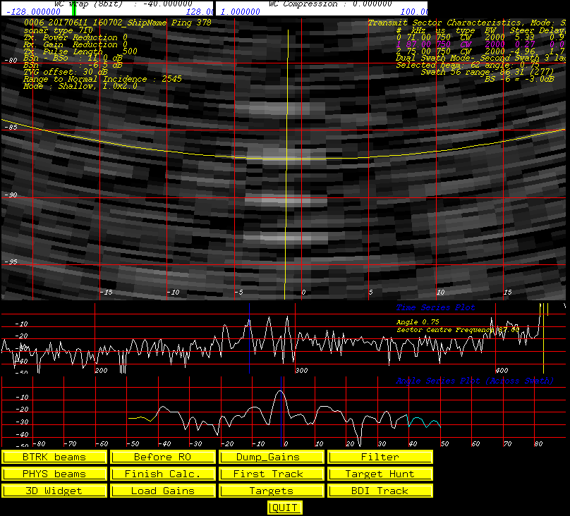
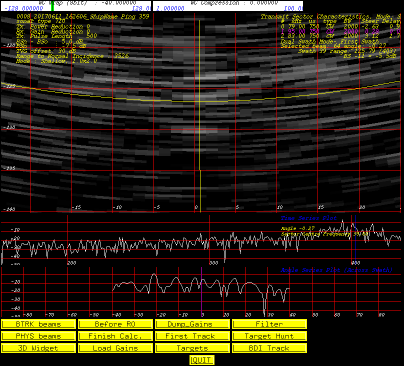
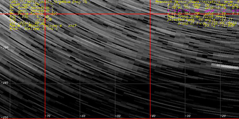
Here are the EM710 data for the above figures.......
raw EM data
merged EM_data
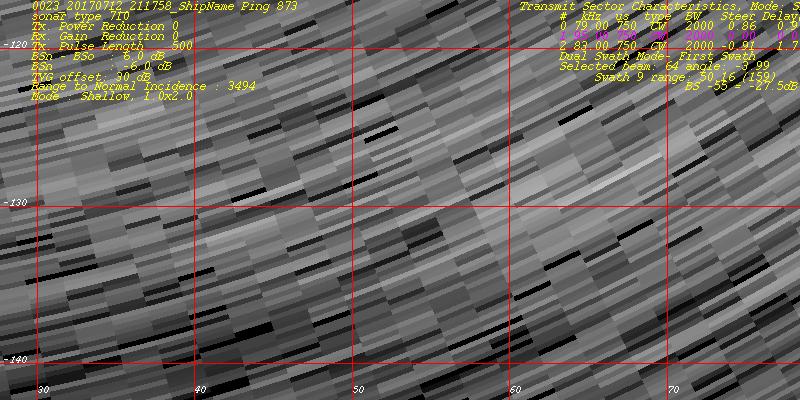
Upstream - Data - July
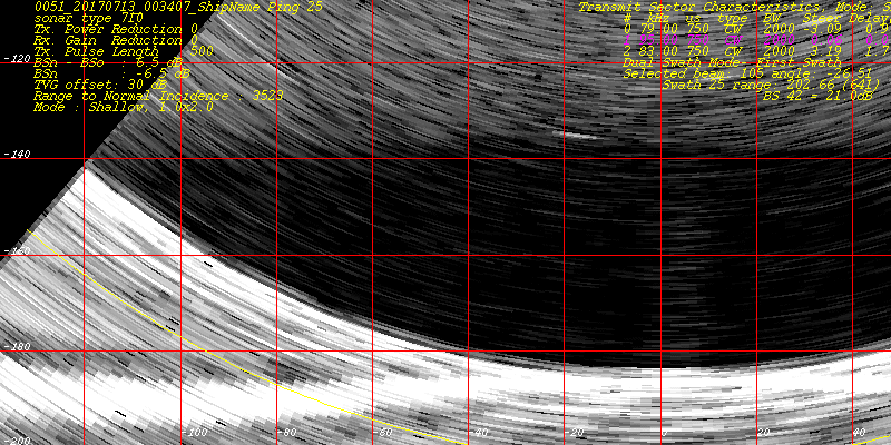
This is the one I cannot, for the life of me finds - it clearly needs target_hunt!
Upstream Data files:
raw_EM data
(tar file)
merged_EM_data
(tar file)