John E. Hughes Clarke
and the class of SE5083-2001
Ocean Mapping Group, Dept.
Geodesy and Geomatics Engineering
University of New Brunswick, CANADA
506-453-4568 (phone), 506-453-4943 (fax), jhc@omg.unb.ca
Overview
A hydrographic, oceanographic and geophysical survey is being planned as part of SE5083 - Hydrographic Field Operations. SE5083 is a 5th year undergraduate course offered within the Dept. of Geodesy and Geomatics Engineering at UNB as part of the specialisation in Ocean Mapping. The aim of the course is to expose the students to the practical issues involved in the planning , execution and processing involved in a coastal marine survey. In previous years the surveys have been conducted at various sites within the Maritimes.
Area of Interest
|
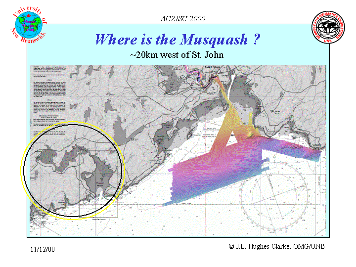
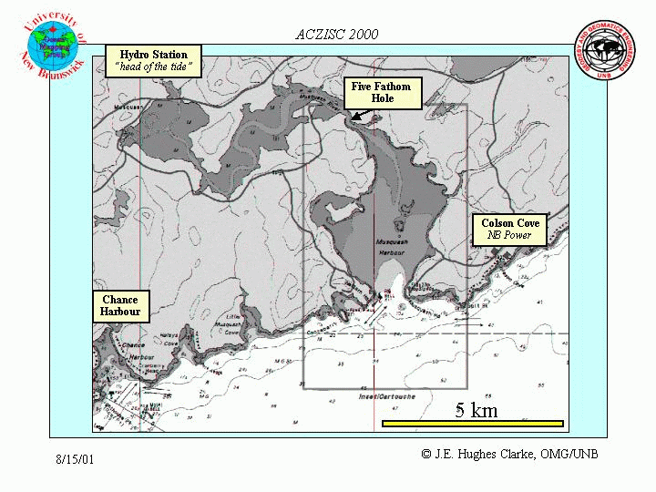
The area chosen for the 2001 course is the Musquash Estuary, which lies on the northern side of the Bay of Fundy, 20 km west of the city of St. John, New Brunswick. |
|
Background of the proposed Musquash MPA
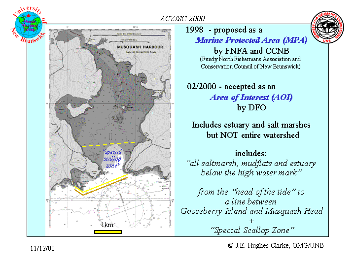 |
The Musquash Estuary has beeen proposed as a site for a Marine Protected Area. This proposal was jointly put forward by the Conservation Council of New Brunswick and the Fundy North Fisherman's Association. |
Prelimimary Survey Plan
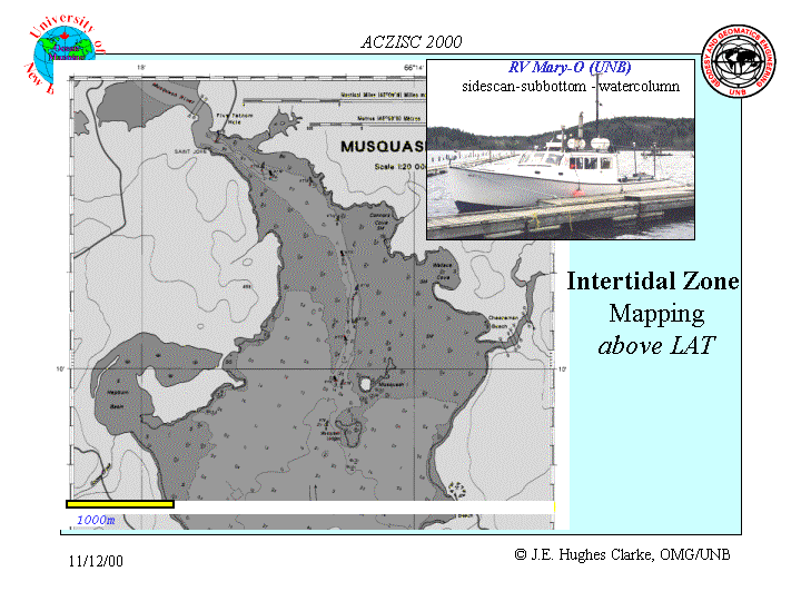 |
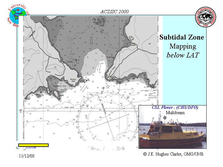
At this time, the two main survey tools are scheduled to be the CHS
EM3000 and the UNB Knudsen 320BP/ss. These two tools are quite complementary
over the range of depths attempted.
It is intended that the EM3000 would be used for the subtidal areas
and the Knudsen used for the intertidal surveys.
|
 |