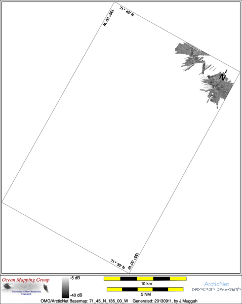
ArcticNet Basemap Series: 71_45_N_136_00_W
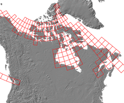
Overview Map
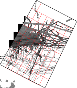
Index Map
72_00_N_136_00_W
Downloads
ESRI grid files for:
This basemap
|
|
|
|
Source data
2009_Amundsen

| 2010_Amundsen

|
Survey Lines for each area
Data from source: 2009_Amundsen
LINE - /drives/viscount/disk1/data/2009_Amundsen/013_Geotraces3/EM302/ss/JD254/0112_20090911_102802.ss_MS_bp - 530 pings included
LINE - /drives/viscount/disk1/data/2009_Amundsen/013_Geotraces3/EM302/ss/JD254/0113_20090911_112805.ss_MS_bp - 1130 pings included
LINE - /drives/viscount/disk1/data/2009_Amundsen/013_Geotraces3/EM302/ss/JD254/0114_20090911_122803.ss_MS_bp - 291 pings included


Data from source: 2010_Amundsen
LINE - /drives/viscount/disk1/data/2010_Amundsen/010_Beaufort_Sea/EM302/ss/JD230/0049_20100818_015831.ss_MS_bp - 637 pings included
LINE - /drives/viscount/disk1/data/2010_Amundsen/010_Beaufort_Sea/EM302/ss/JD230/0050_20100818_025829.ss_MS_bp - 1134 pings included
LINE - /drives/viscount/disk1/data/2010_Amundsen/010_Beaufort_Sea/EM302/ss/JD230/0051_20100818_035832.ss_MS_bp - 196 pings included
Created: 20140320 by J.Muggah


