down - lake < Sheet 0 - Bathymetry > up - lake
lake-wide map
Local Lake Location Map
7m Composite Image

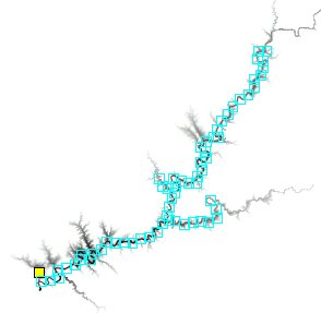
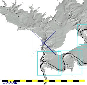
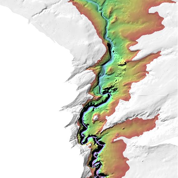
Bathymetry --- Backscatter --- Pre-fill topography

High-Resolution Downloads

BATHYMETRY
jpeg geotiff
BACKSCATTER
jpeg geotiff
ESRI GRIDS
bathymetry backscatter

Project Overview Instrumentation Survey Design and Implementation Gallery of Findings Contacts
0 1 10 11 12 13 14 15 16 17 18 19 2 20 21 22 23 24 25 26 27 28 29 3 30 31 32 33 34 35 36 37 38 39 4 40 41 42 43 44 45 46 47 48 49 5 50 51 52 53 54 55 56 57 58 59 6 60 61 62 63 7 8 9

A collaborative research project between:
Ocean Mapping Group, University of New Brunswick
Dept Earth Sciences,  Duke  University
National Park Service, Page AZ
Bureau of Reclamation, Denver, CO


Website, survey and processing by: Hughes Clarke and Beaudoin, OMG, UNB, May 2005