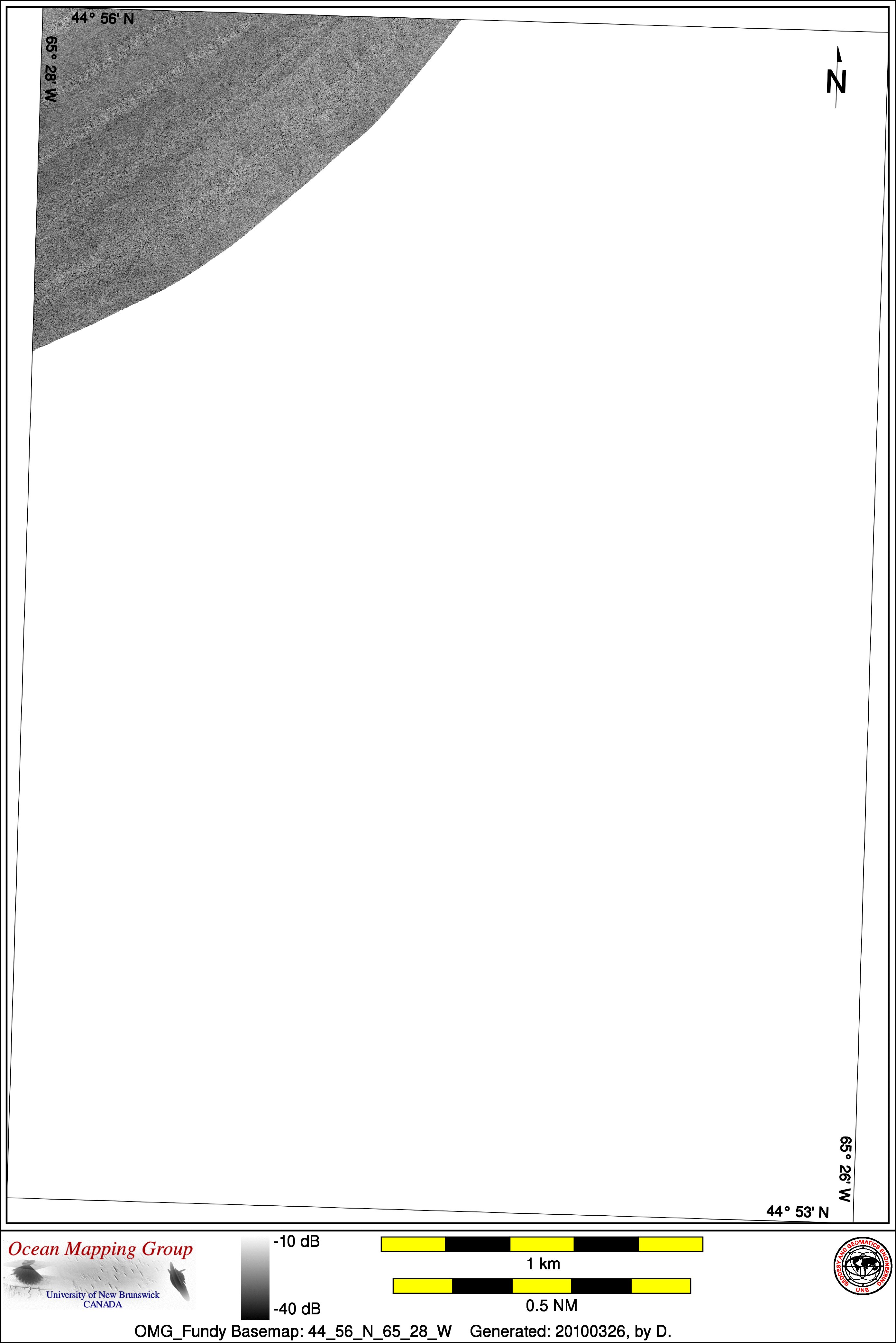
Upper Bay of Fundy Basemap Series: 44_56_N_65_28_W
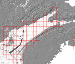
Overview Map
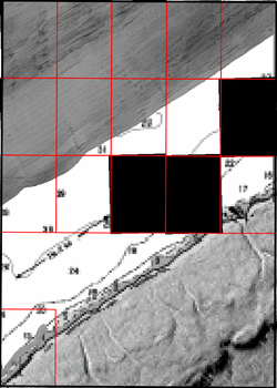
Index Map
45_00_N_65_30_W
Downloads
ESRI grid files for:
This basemap
|
|
|
|
Source data
The basemap shown above is a blend of several sources of data. The coverage achieved by the contributing data sets is shown in the thumbnail images below. Links for individual ESRI grid files and metadata are available below the thumbnail for each source data set. Note that metadata links will open in a new window.
2007_Creed_Fundy_EM1002

| 2008_Matthew_EM710

| 2009_Matthew_EM710

|
Survey Lines for each area
Data from source: 2007_Creed_Fundy_EM1002
LINE - /drives/larsen/disk1/data/2007_Creed_Fundy_EM1002/ss/Aug14/0602_20070814_113954_Creed.ss_roll - 598 pings included
LINE - /drives/larsen/disk1/data/2007_Creed_Fundy_EM1002/ss/Aug14/0634_20070814_193345_Creed.ss_roll - 600 pings included
LINE - /drives/larsen/disk1/data/2007_Creed_Fundy_EM1002/ss/July26/0051_20070726_124343_Creed.ss_roll - 200 pings included
LINE - /drives/larsen/disk1/data/2007_Creed_Fundy_EM1002/ss/July26/0071_20070726_194145_Creed.ss_roll - 300 pings included


Data from source: 2008_Matthew_EM710
LINE - /drives/larsen/disk1/data/2008_Matthew_EM710/ss/JD276/0508_20081002_172842_Matthew.ss_roll - 64 pings included
LINE - /drives/larsen/disk1/data/2008_Matthew_EM710/ss/JD303/1623_20081029_001817_Matthew.ss_roll - 597 pings included


Data from source: 2009_Matthew_EM710
LINE - /drives/larsen/disk1/data/2009_Matthew_EM710/ss/2009-303/0985_20091030_153108_Matthew.ss_roll - 1000 pings included
Created: 20100328 by D.