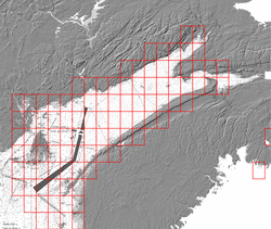
45_10_N_65_00_W 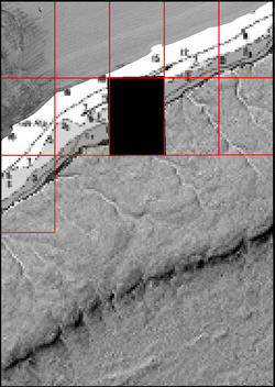
ESRI grid files for: This basemap |
| NW | N | NE |
| W | 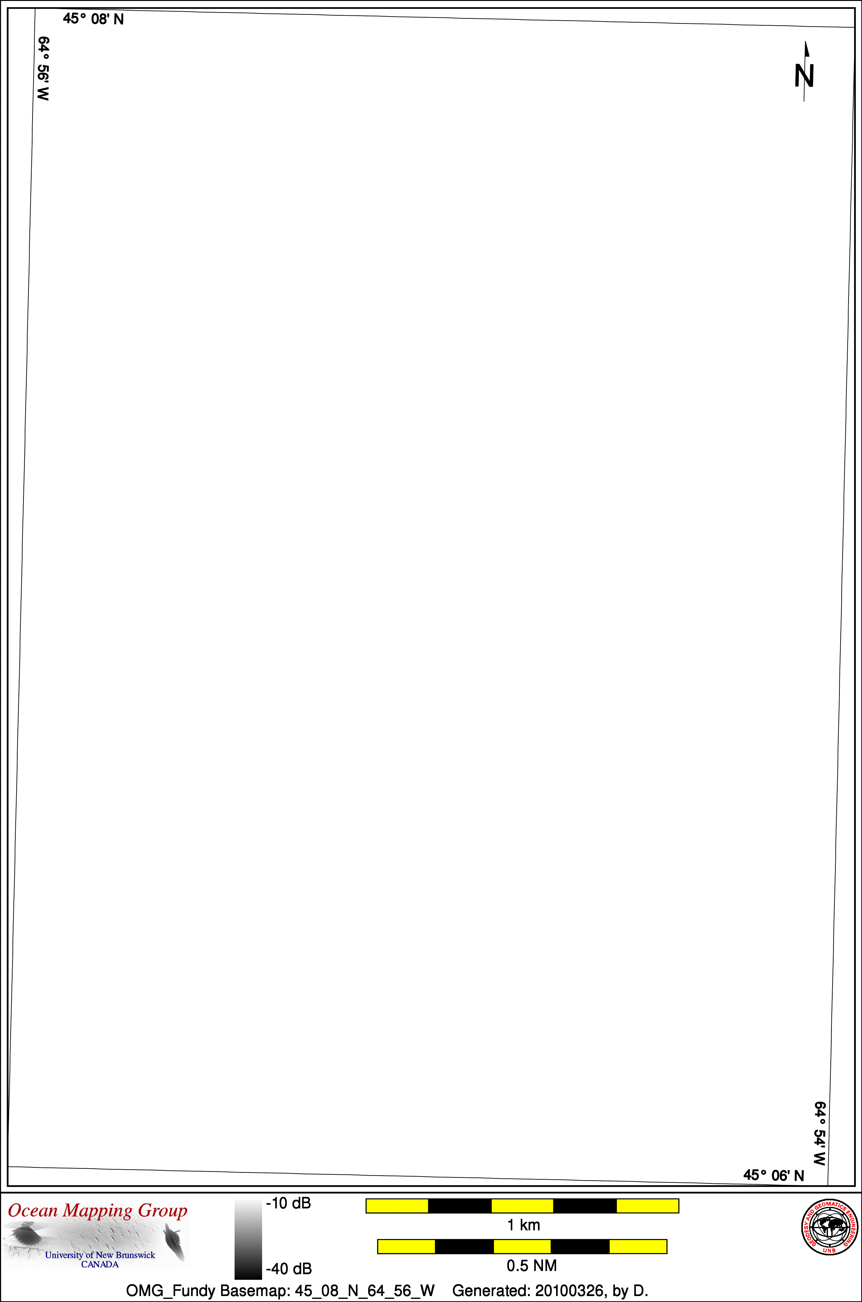 |
E |
| SW | S | SE |
| BACKSCATTER |
|
|
| Home... | About these basemaps... |
2008_Matthew_EM710 |
Data from source: 2008_Matthew_EM710
LINE - /drives/larsen/disk1/data/2008_Matthew_EM710/ss/JD276/0508_20081002_172842_Matthew.ss_roll - 64 pings included