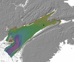
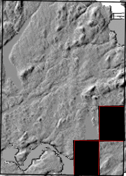
The basemap shown above is a blend of several sources of data. The coverage achieved by the contributing data sets is shown in the thumbnail images below. Links for individual ESRI grid files and metadata are available below the thumbnail for each source data set. Note that metadata links will open in a new window.