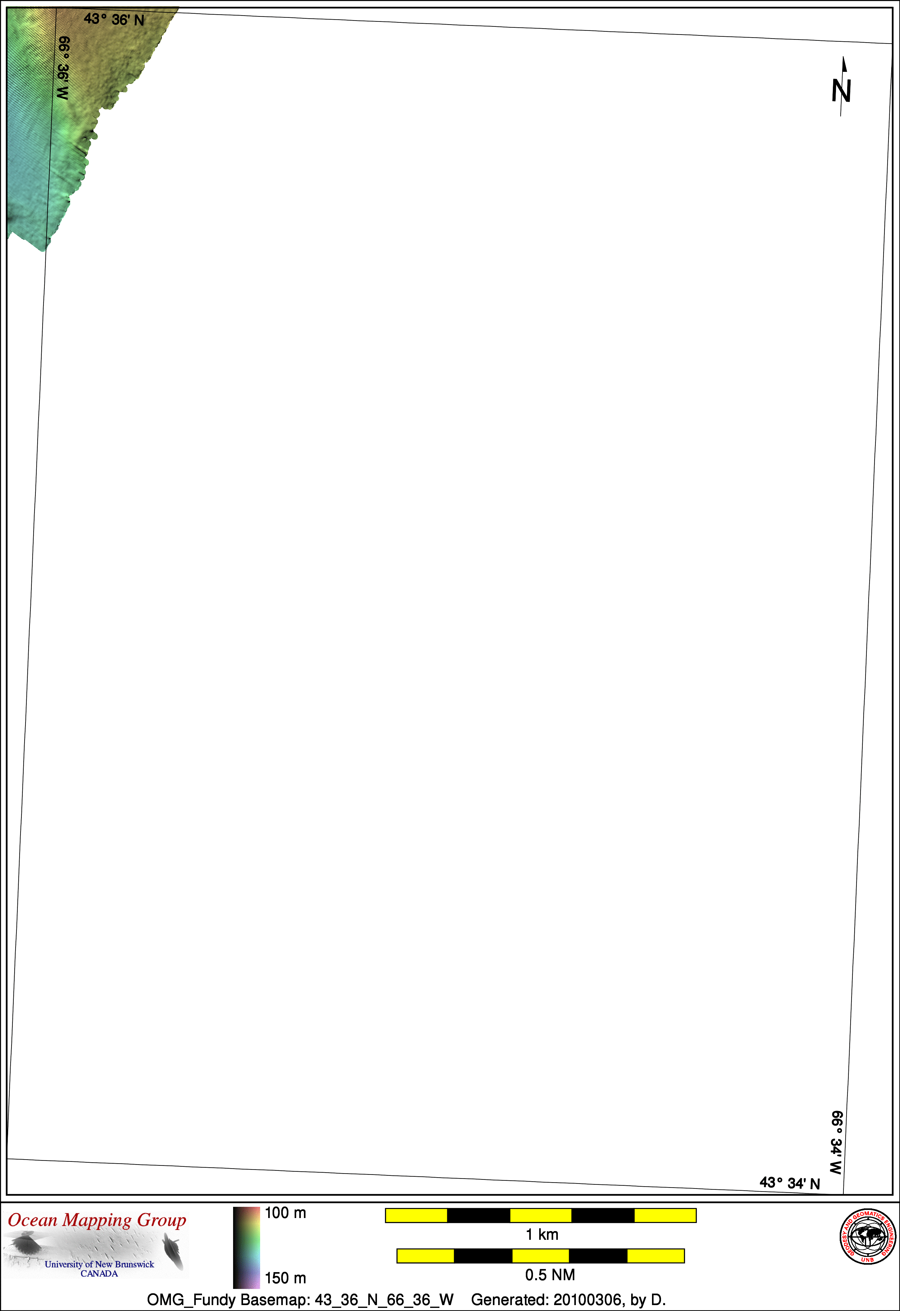
Upper Bay of Fundy Basemap Series: 43_36_N_66_36_W


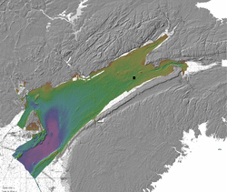
Overview Map

Index Map
43_40_N_66_40_W

Downloads
ESRI grid files for:
This basemap
NW N NE
W E
SW S SE
BATHYMETRY     BACKSCATTER
Home... About these basemaps...

Source data

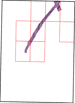
The basemap shown above is a blend of several sources of data. The coverage achieved by the contributing data sets is shown in the thumbnail images below. Links for individual ESRI grid files and metadata are available below the thumbnail for each source data set. Note that metadata links will open in a new window.
SOURCE_COVERAGE_MAPS
2008_Matthew_EM710

SOURCE_METADATA


Survey Lines for each area
SOURCE_DATA

Created: 20100310 by D.