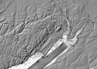
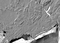
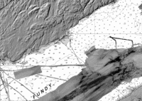
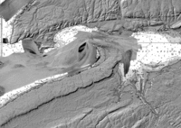
Bay of Fundy - 5m Resolution BACKSCATTER Sheets

padding46.0_65.25_45.5_64.25
45.5_67.0_45.0_66.045.5_66.0_45.0_65.045.5_65.0_45.0_64.0
45.0_67.0_44.5_66.045.0_66.0_44.5_65.0
44.5_67.0_44.0_66.0All are 0.5 deg latitude x 1.0 deg longitude (15770 pixels in X)
They all share a common Mercator Projection:
                  - Reference Ellipsoid WGS 84
                  - Reference Latitude 45 N, Longitude 66  W

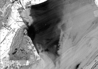
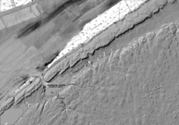
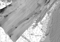
Backscatter Greylevel ranges from -35 to -15 dB
       For Bathymetric MapSheets click here


a collaborative project between :
Geological Survey of Canada - Atlantic
Natural Resources Canada
Ocean Mapping Group
University of New Brunswick
Canadian Hydrographic Service - Atlantic
Dept. Fisheries and Oceans

page maintained by John E. Hughes Clarke
last modified April 2008  Fundy Multibeam Project Home