| back to: Index |
CSL Heron
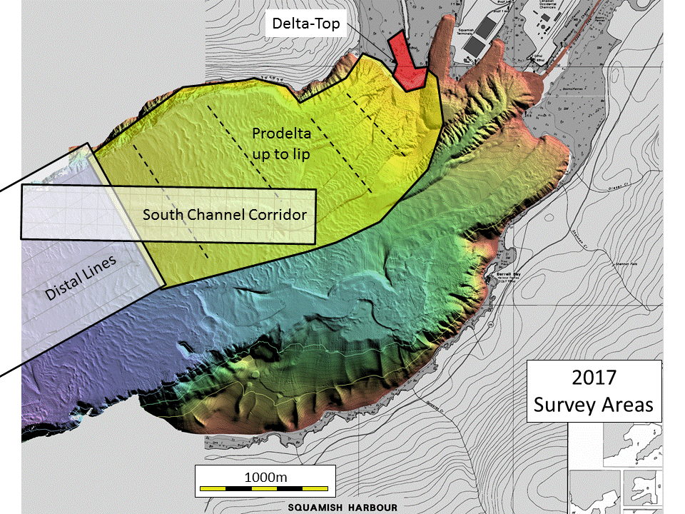
Squamish Operations April-October 2017 Survey Update Plan |
| John E.Hughes Clarke, Anand Hiroji, Liam Cahill | Ian Church, Angela Gillis |
| Center for Coastal and
Ocean Mapping University of New Hampshire, USA |
Ocean Mapping Group University of New Brunswick, Canada |
 |
 |
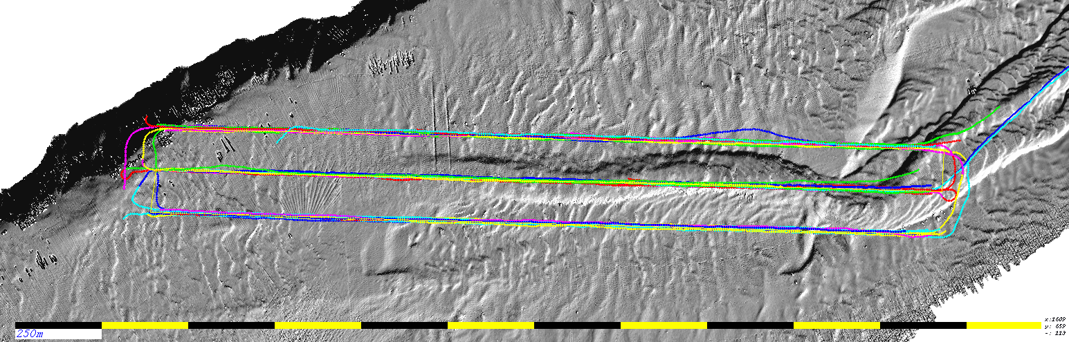
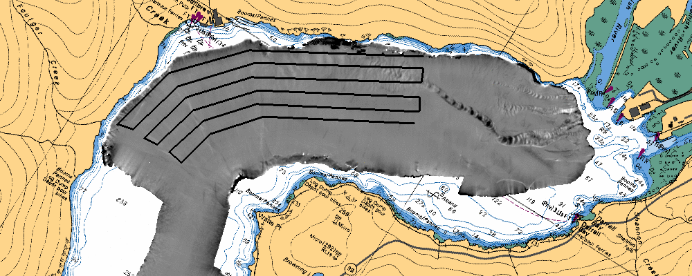
| JD 158
2017
|
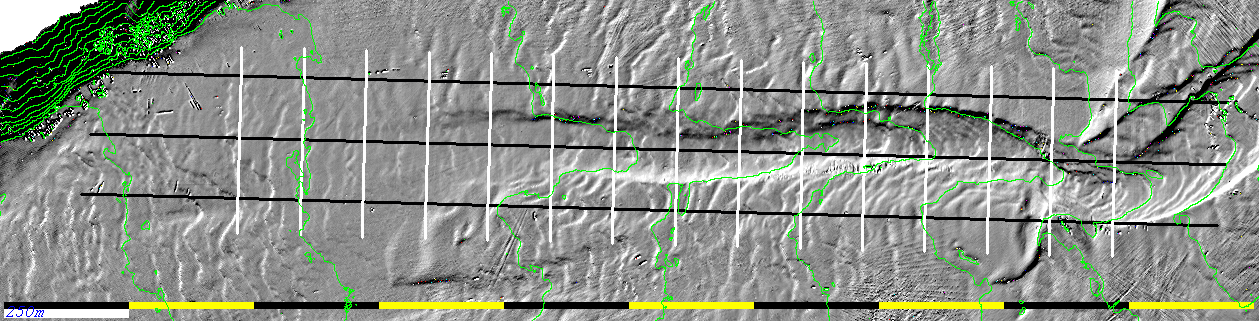
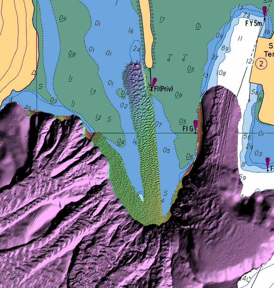
JD163 2017 |