1m resolution Mapsheets

Grand Manan Surveys
July 18-28, 2002

Coppola and  Duxfield
OMG/UNB


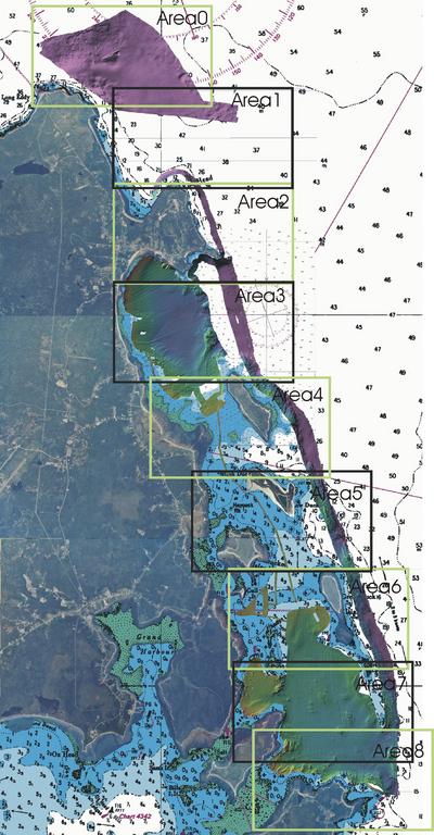
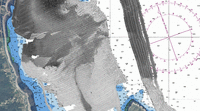
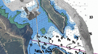
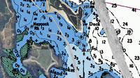
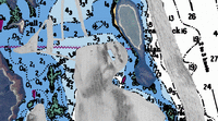
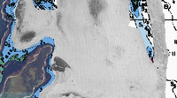
The survey area was broken up into a series of standard map sheets.
Each map sheet represents a Mercator  Projection and is exactly
4500m wide by 2500m high
(pixel size is correct at latitude 45.750000 deg).

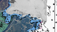
Bathymetric and backscatter images (at 1m resolution), metadata, r4 files, and contours for each area (0-8) can be obtained by clicking each image in the Mapsheet Index to the right.

The image below shows the location of the Area0-8 mapsheets.


Overview


Mapsheet Index
Area0 mos
                         Area1 mos
                          Area2 mos                                                                          
                           Area3 mos
                                        Area4 mos
                                                     Area5 mos
                                                                Area6 mos
                                                                 Area7 mos
                                                                      Area8 mos


Created by Jennifer Coppola
Last modified April 15, 2004