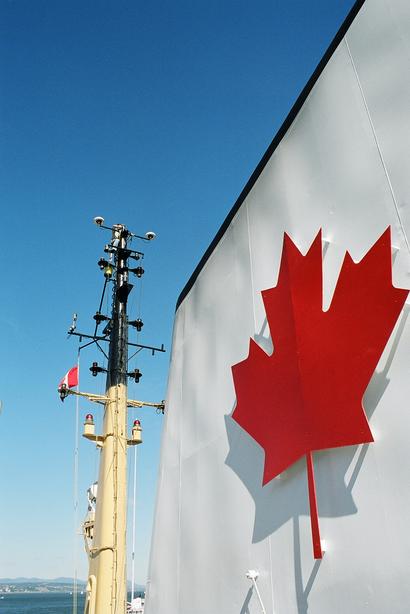
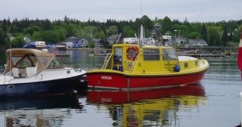
Information About the OMG WebGrid site:The WebGrib system was researched and developed over the winter of 2011/2012. It draws upon multibeam data collected by the Ocean Mapping Group in the Canadian Arctic. Most of the data comes from the CCGS Amundsen with portions also being collected aboard the CCGS Nahidik and our own launch, the CSL Heron while it was aboard various icebreakers. The multibeam system aboard the Amundsen was a Kongsberg EM300 between 2003 and 2008. In 2009 it was upgraded to an EM302. The transducers for the system are flush mounted in the hull behind titanium polymer sheilds. This configuration keeps the transducers safe but results in noisy data when the ship encounters rough seas. The system collects almost no good data while the ship is travelling through ice or heavy seas. The multibeam system used on the Nahidik, Heron and Barge was a Kongsberg EM3002. On the Nahidik and the Barge it was pole mounted, in the Heron it was rigidly mounted in the keel providing very good data in all practical sea states. Bathymetry data is gridded with a beamwidth of 1.0 degrees and the appropriate beam weights are selected automatically. You may be presented with the opportunity of gridding data that is not yet available to the public. Such data will automatically be excluded when you build your map. This is only applicable to areas in the Beaufort Sea in the Western Arctic. Please contact Steve Brucker regarding questions or feedback.
Papaya Sunset Productions, OMG - 2012 |