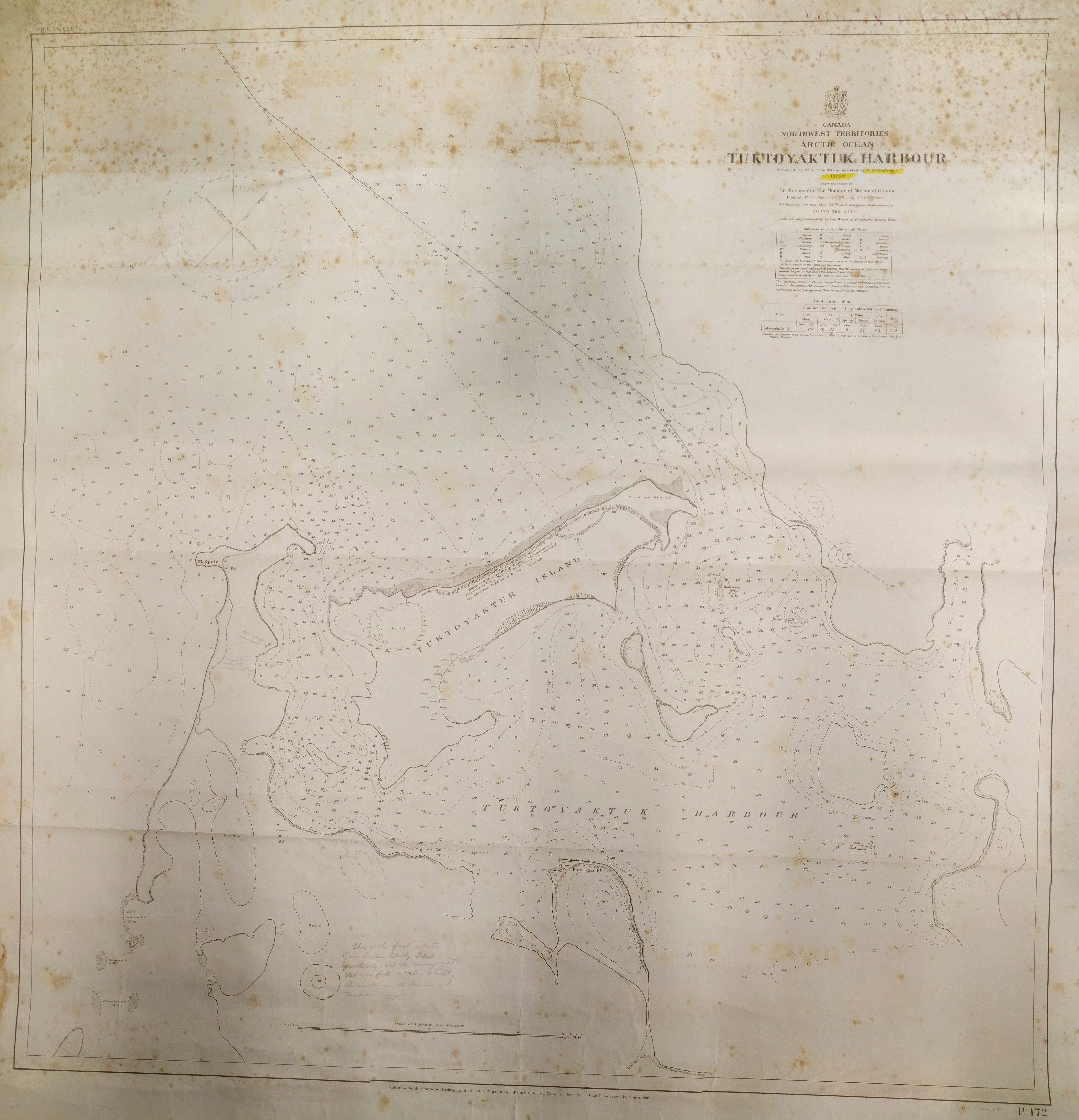
We discovered this 1933 chart of Tuktoyaktuk hidden away in a drawer here at the Ocean Mapping Group. The chart indicates that the surveying was completed by Norman Wilson and assisted by A.F. Wightman. There is a note near the bottom of the map from A.F. Wightman which reads (as best as I can decipher):
This is the first edition of our harbour chart. I did practically all the surveying etc that was done on this sheet. The country is all barren and tundra. Art.
He has also labelled their campsite just west of Tuktoyaktuk Island. An amazing piece of history. Mouse over the image to see more detail.