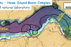
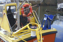
2013 has already been busy and we’re just getting started. We’ve completed an interesting program in Squamish, B.C. mapping turbidity currents with a huge suite of acoustic tools.
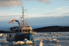
We’re also currently mapping in Lake Melville, Labrador aboard the MV Nuliajuk. The vessel will travel north later in the summer and build on work done in 2012.
Mobilization has also begun aboard the CCGS Amundsen. The Ocean Mapping Group operates the Kongsberg EM302 multibeam system and a 3.5 kHz sub-bottom profiler aboard the icebreaker and has since 2003. We also process and disseminate the data which is publicly viewable in various formats. The google map portal, the stripmap pages, and the original basemaps.


